Ticker for July 23, 2025
MESONET TICKER ... MESONET TICKER ... MESONET TICKER ... MESONET TICKER ...
July 23, 2025 July 23, 2025 July 23, 2025 July 23, 2025
SuperRidge
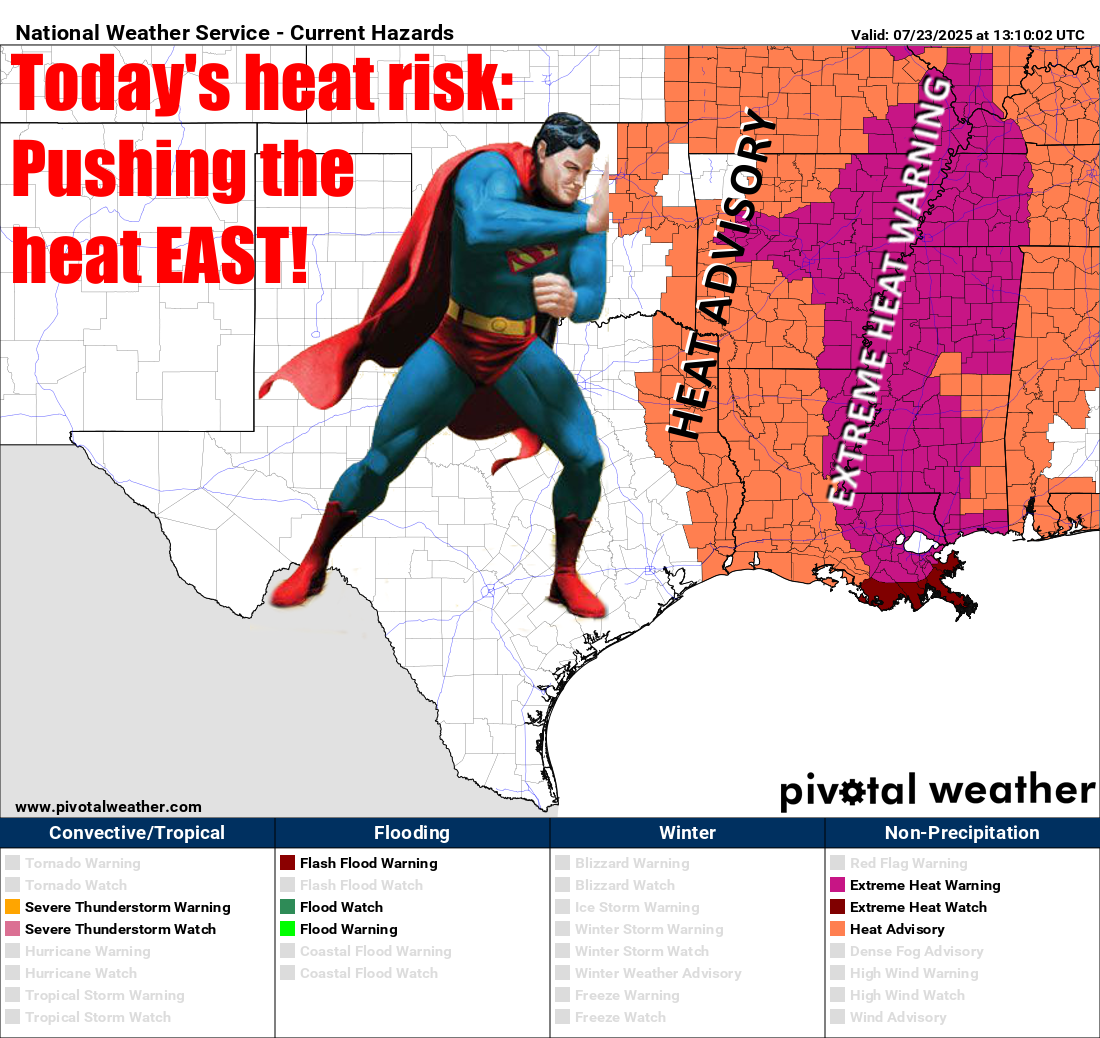
So it's not gonna be as hot today. Sure, it'll still be hot, but not hot hot, and
definitely not hot hot hot...sing it now!
Me mind on fire,
Me soul on fire, feeling hot, hot, hot!
Party people all around me feeling hot, hot, hot!
Now do I look like Buster Poindexter?!? That hair though...
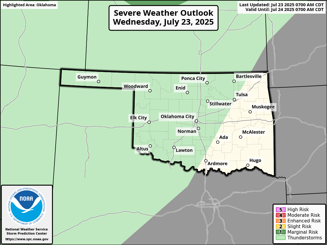
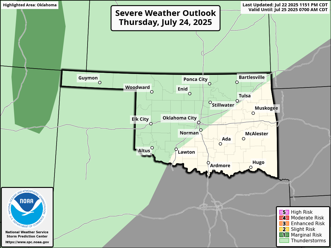
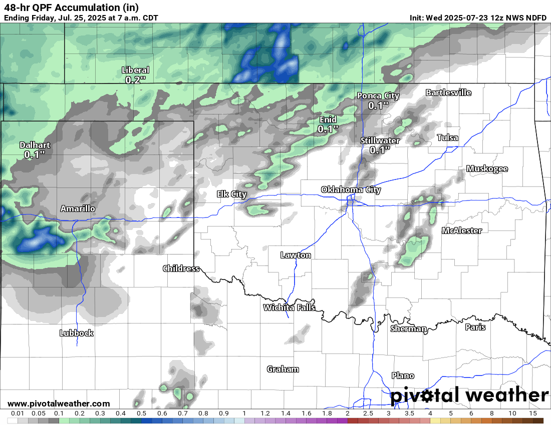
A one day reprieve from the high heat index stuff, then maybe back to it tomorrow,
but at least we have some rain chances, too. Not a lot, especially across the
southeastern half of the state, but it's better than nothing.
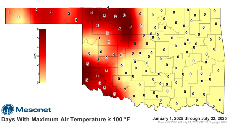
So far, not too bad in the triple-digit territory, at least compared to previous
years.
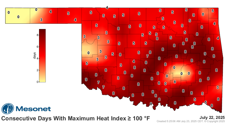
Throw in the humidity (now why didya go and do that???), however, and we can
see that this current HEAT WAVE (i.e., heat index wave) is going on 8 days
across most of the state.
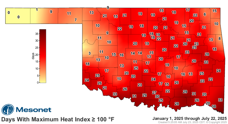
And our triple-digit count in this category is quite a bit higher for most of
us than just the actual air temp's count.
Pretty cool maps, huh? I mean, not cool cool, and definitely not cool cool cool
(sorry, I don't know of a song for this one)...but pretty cool.
Gary McManus
State Climatologist
Oklahoma Mesonet
Oklahoma Climate Survey
gmcmanus@ou.edu
July 23 in Mesonet History
| Record | Value | Station | Year |
|---|---|---|---|
| Maximum Temperature | 109°F | CHER | 2001 |
| Minimum Temperature | 54°F | ELRE | 2019 |
| Maximum Rainfall | 4.28 inches | TAHL | 2013 |
Mesonet records begin in 1994.
Search by Date
If you're a bit off, don't worry, because just like horseshoes, “almost” counts on the Ticker website!