Ticker for February 23, 2022
MESONET TICKER ... MESONET TICKER ... MESONET TICKER ... MESONET TICKER ...
February 23, 2022 February 23, 2022 February 23, 2022 February 23, 2022
Call down the thunder!
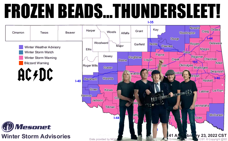
Hey, I WARNED you yesterday I was going to do this. Once I got the AC/DC lyrics
in my head, it was inevitable. No, not Thanos inevitable...more like Hawkeye
inevitable (come on...he's a guy with a bow and arrow!). We've had thundersleet
on and off all morning here at the Ticker Headquarters, and a good dose of the
frozen white stuff to boot. I know many of you love storms, but thundersleet?
Come on!
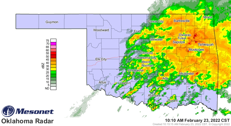
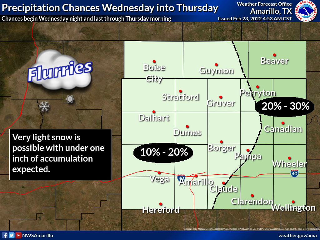
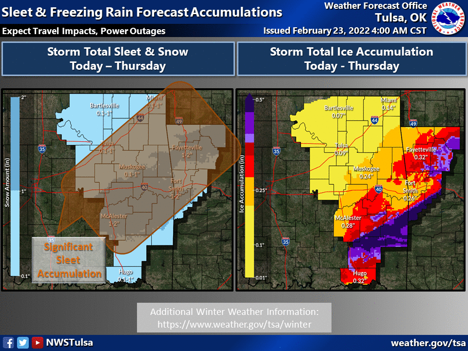
I'm not going to bore you with all the details for a second day in a row. I'm just
going to bore you with all the pertinent graphics from the local NWS offices for
the continuing impacts from this continuing storm.
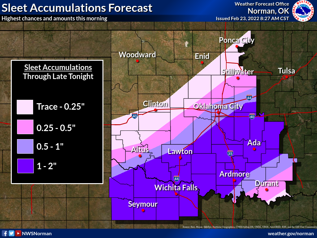
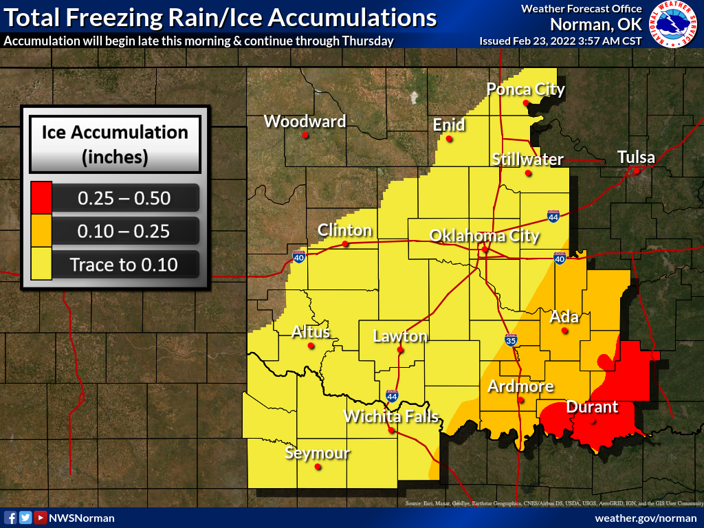
So as this round of precip moves off, we'll see a lull then reactivation of the
precip process late tonight with move warm air moving in aloft. A big threat
for later tonight into tomorrow will be the dreaded freezing drizzle, just light
enough to make you think it's no big deal, but slippery enough to put you in
the ditch. Or worse.
Another big threat is the continuing cold. I think the cold was underestimated
(and underforecast by the models), being a bit colder much earlier than
anticipated yesterday, and it ain't no better today.
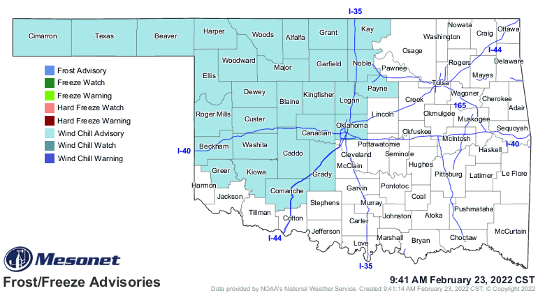
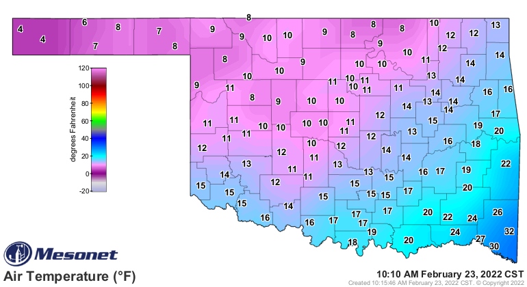
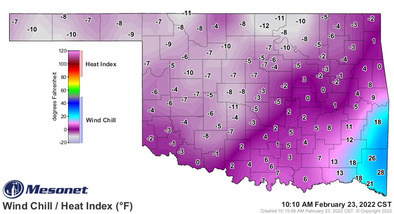
I don't think we've seen this much widespread cold air since the first week
of January (and that's a good place to keep it!). Mother Nature is asking for
it.
Concrete shoes. Cyanide. TNT.
Gary McManus
State Climatologist
Oklahoma Mesonet
Oklahoma Climatological Survey
gmcmanus@mesonet.org
February 23 in Mesonet History
| Record | Value | Station | Year |
|---|---|---|---|
| Maximum Temperature | 91°F | WAUR | 2017 |
| Minimum Temperature | -2°F | BOIS | 2022 |
| Maximum Rainfall | 3.61″ | EUFA | 2018 |
Mesonet records begin in 1994.
Search by Date
If you're a bit off, don't worry, because just like horseshoes, “almost” counts on the Ticker website!