Ticker for October 18, 2021
MESONET TICKER ... MESONET TICKER ... MESONET TICKER ... MESONET TICKER ...
October 18, 2021 October 18, 2021 October 18, 2021 October 18, 2021
Hot pumpkins
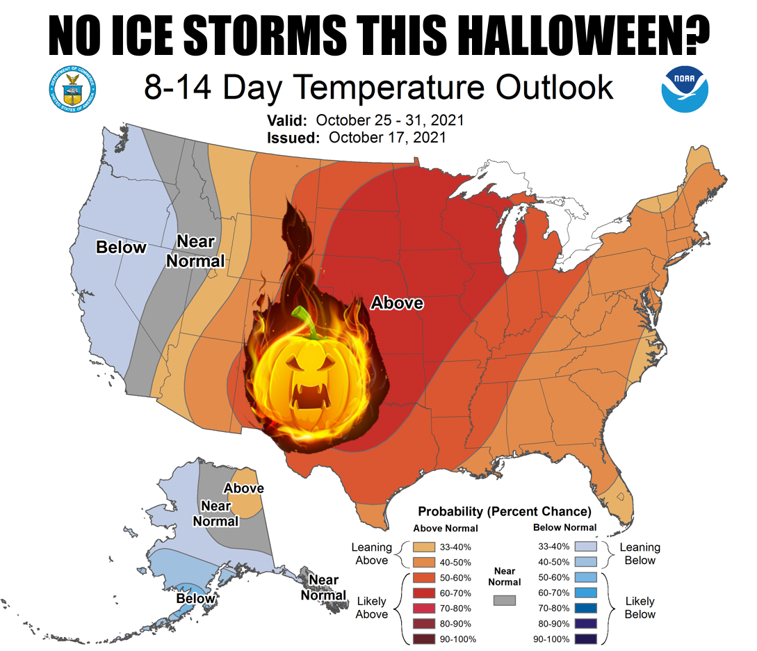
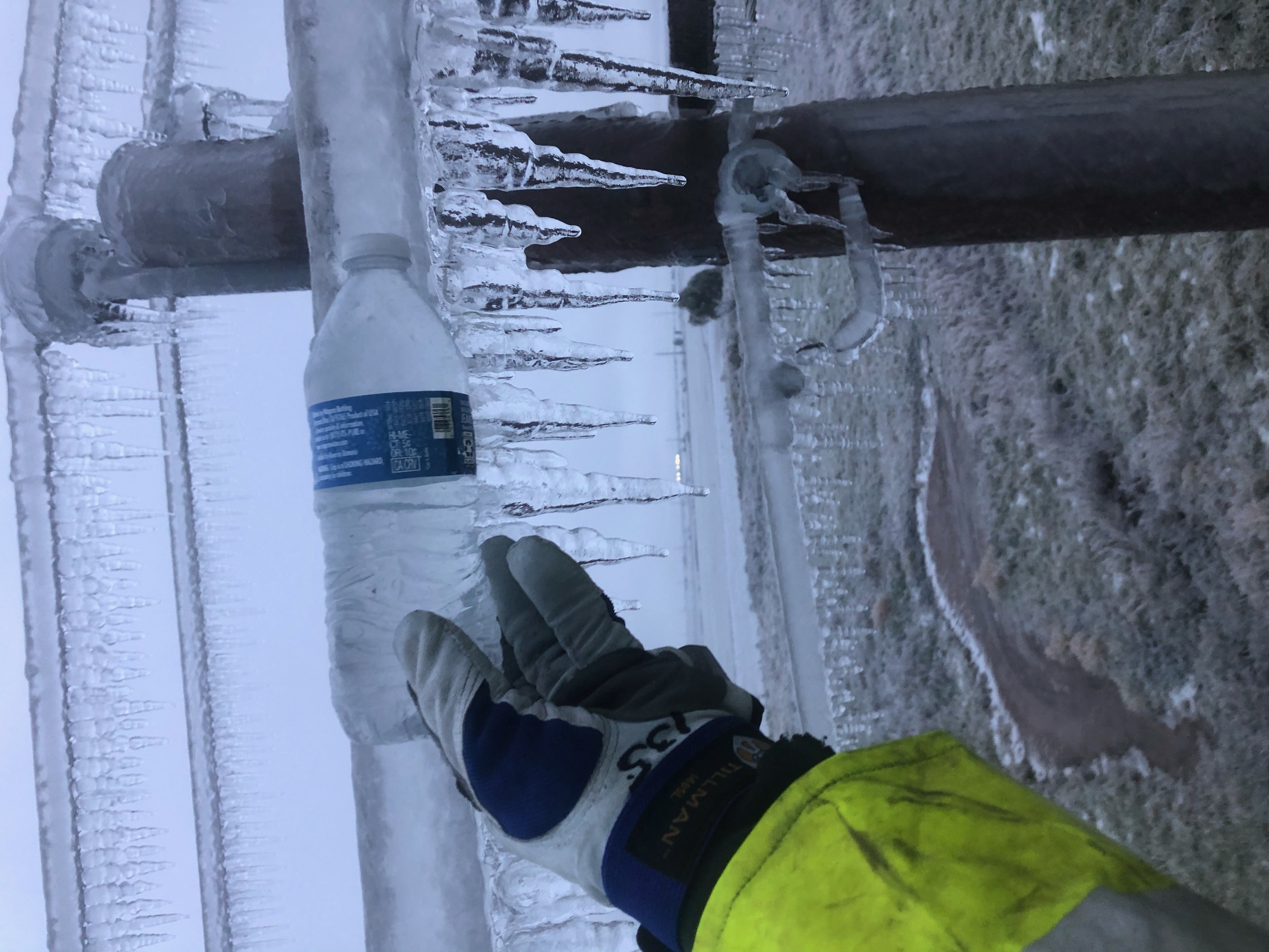
Hey, remember last year when we had ICEMAGEDDON during the last week of October?
Remember how much fun that was? Well, it would appear that's going to be a
one-off, at least if you believe the latest outlooks from CPC that cover the
end of the month. Looks like it might be on the dry side as well, at least for
the SW portions of the state and the Panhandle.
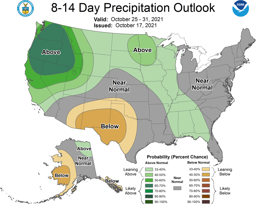
Oh, ya put that horrible memory out of your head? Well, let me freshen that up for
ya.
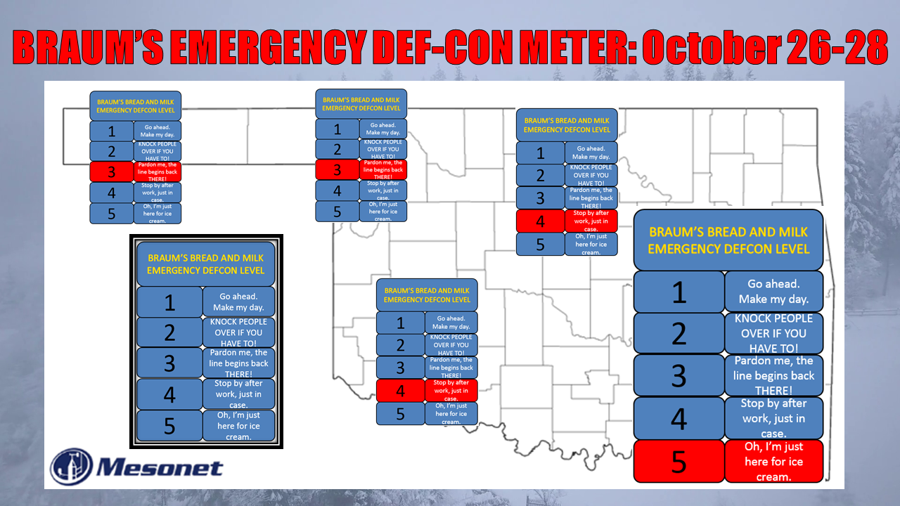
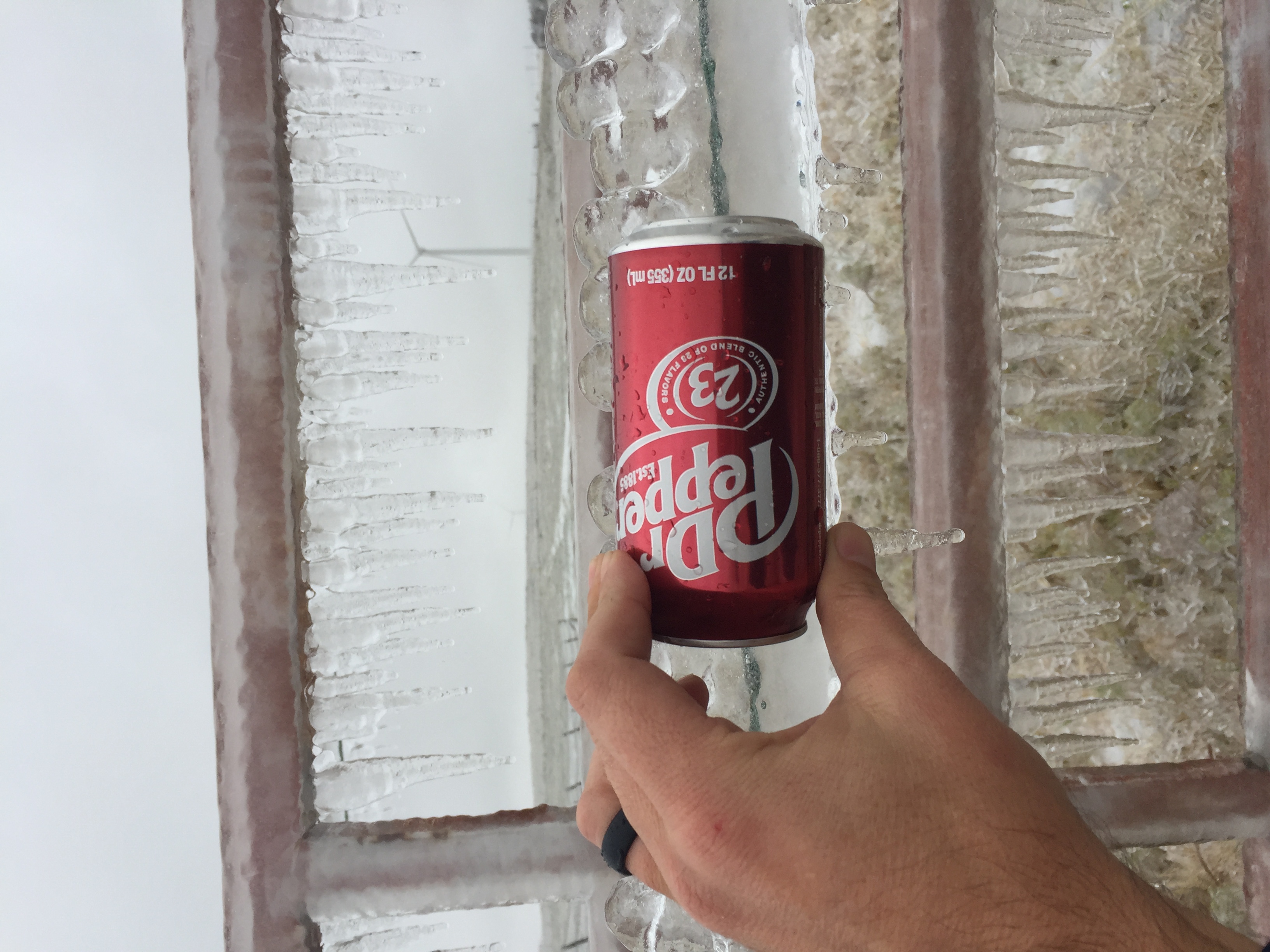
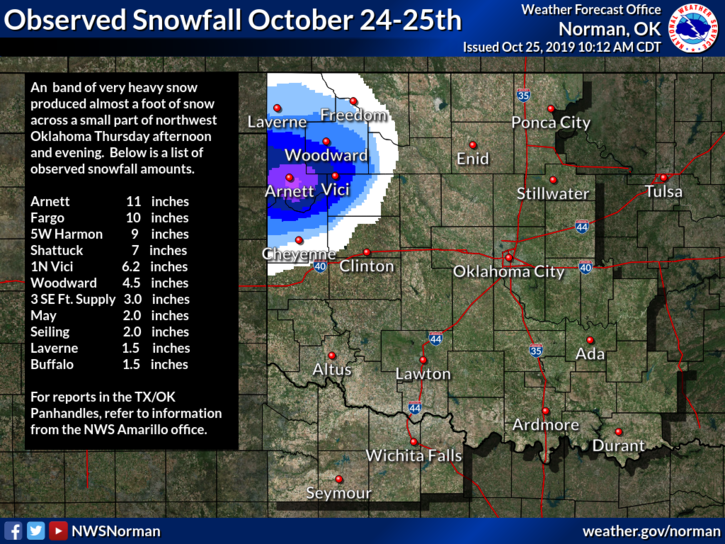
Oh by the way, did ya forget about TWO years ago when a winter blast brought
freezing temperatures and 13 inches of snow to NW OK that last week of October?
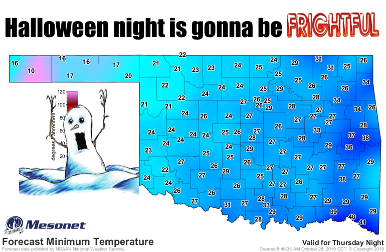
A cold blast that bled right over into Halloween?
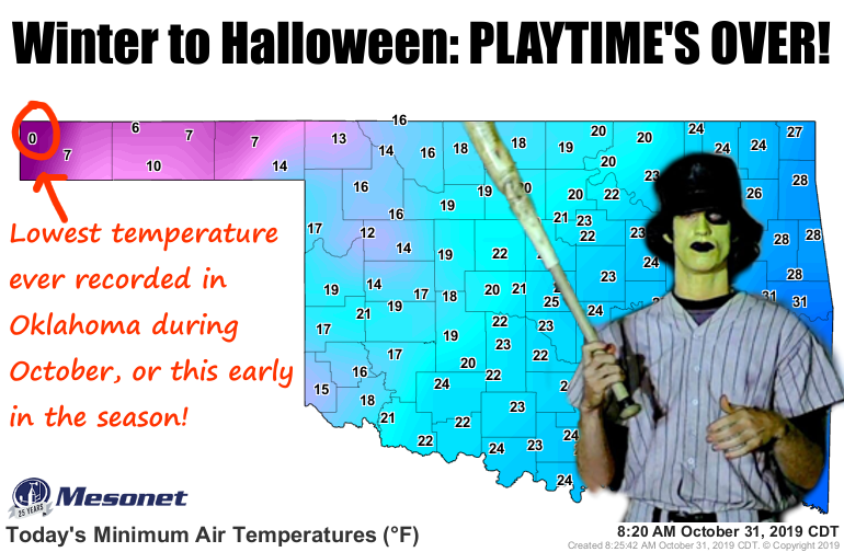
And a ZERO in Kenton, breaking records for coldest weather we've ever seen that
early in the season? On Halloween morning?!?
Yeah, so now that I've brought back all those bad memories and let you know how
bad things COULD be, let's come back to this year and the possibility
(probability?) that we might just stay warm through the rest of the month. We've
already had some cold-ish weather, with our far NW Mesonet sites hitting
the freeze mark already a few times this fall.
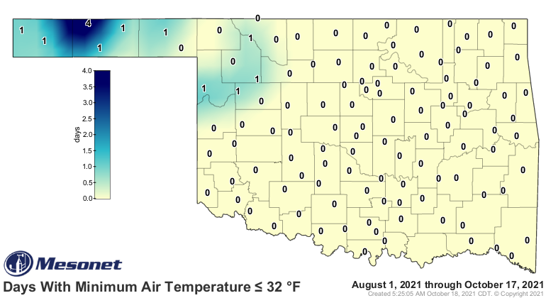
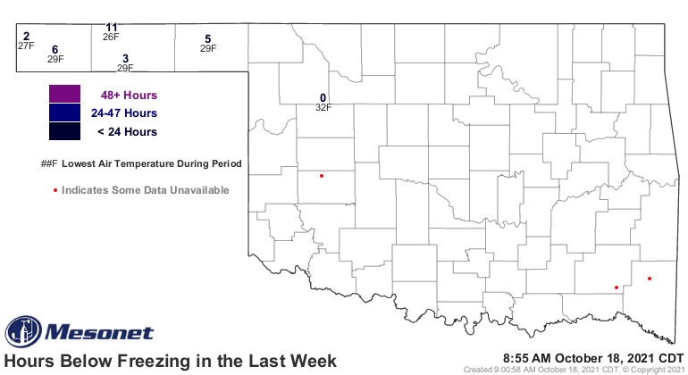
And there will be cold fronts over the next couple of weeks, just not the
gargantuan types of the last couple of years. So watch for normal to above
normal temperatures over the next couple of weeks as we enter November. Highs
will possibly be in the 60s and 70s as we go through the next 2 weeks with
brief dips into the 50s and a few sojourns into the 80s.
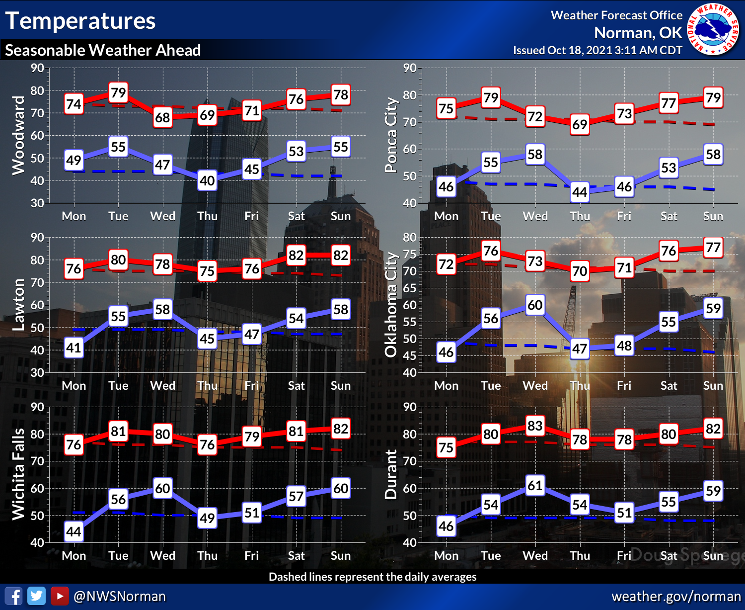
In fact, we have a cold front in line for Tuesday, but it's not one of THOSE
cold fronts. It might drop us down into the 60s and low 70s. BRRR!!!!
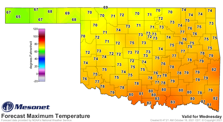
Maybe some rain with the front Tuesday night into Wednesday, and again over the
weekend. That's a possibility, not locked in at this point. And we're not
talking a ton of rain here, either.
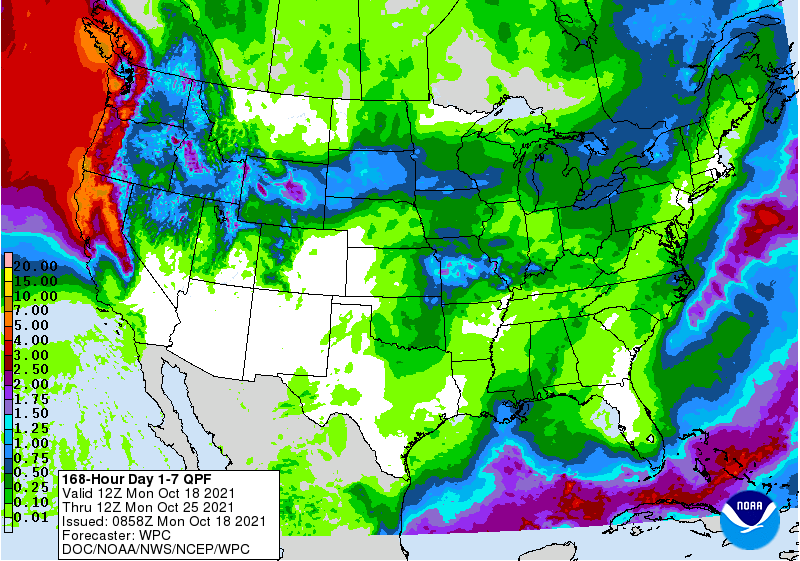
Now that I've made all these bold-but-vague predictions for a warm-ish Halloween
week, fronts can sneak up and surprise us this time of year. Not like next-day
type of surprises, but more like "hey, the 8-14 day outlook changed bigtime
this model run and now something is showing up for late next week" type of
surprises. Not showing up now for sure. And Halloween itself is at the very edge
of those outlooks, so...
Gary McManus
State Climatologist
Oklahoma Mesonet
Oklahoma Climatological Survey
gmcmanus@mesonet.org
October 18 in Mesonet History
| Record | Value | Station | Year |
|---|---|---|---|
| Maximum Temperature | 96°F | WEBB | 2005 |
| Minimum Temperature | 22°F | NOWA | 2022 |
| Maximum Rainfall | 2.10 inches | IDAB | 2002 |
Mesonet records begin in 1994.
Search by Date
If you're a bit off, don't worry, because just like horseshoes, “almost” counts on the Ticker website!