Ticker for June 18, 2021
MESONET TICKER ... MESONET TICKER ... MESONET TICKER ... MESONET TICKER ...
June 18, 2021      June 18, 2021      June 18, 2021      June 18, 2021


Jupril?


Just a quick Tick to Tock about all this July that's been screwing up our June.
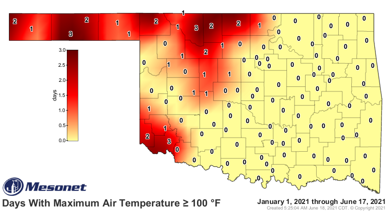
We're starting to see that 100s map really start to expand across western OK,
and it's creeping farther east each day.


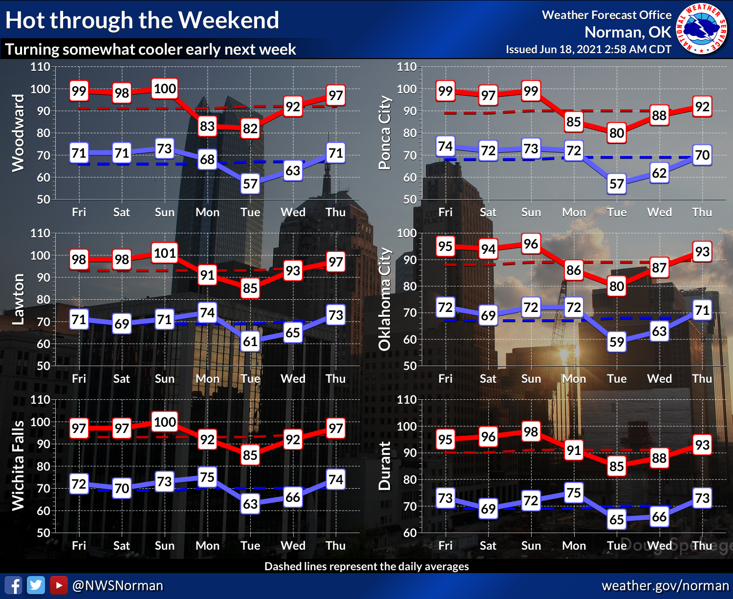
Those temps are about 10-15 degrees above normal, so a bit on the high side for
June, but certainly nothing too extraordinary (much like ourselves). Expect more
of the same right through the weekend, then we should see a cold front (yep, a
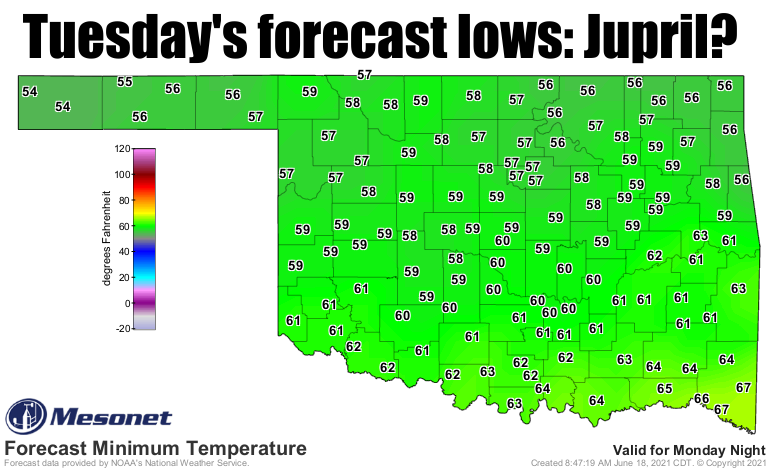
COLD front, not even a cool front) come through on Monday and cool things down
to temperatures more suited for April...a mild April, but April nonetheless. Maybe
May (or May maybe). The cooler weather will last for a few days, then back to the
old grind it looks like.


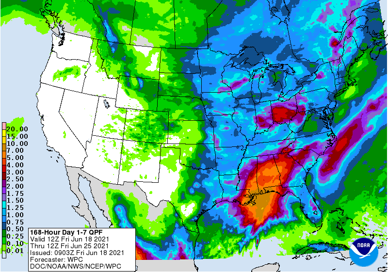
Maybe a few storms here and there associated with the front. Not a monsoon by any
stretch of the imagination, and mainly confined down in SE OK.


Soon it will be July. Let's hope it's not Julyly, because then August could turn
into Augustust. Man, when will Septober get here?

Gary McManus
State Climatologist
Oklahoma Mesonet
Oklahoma Climatological Survey
(405) 325-2253
gmcmanus@mesonet.org
June 18 in Mesonet History
| Record | Value | Station | Year |
|---|---|---|---|
| Maximum Temperature | 110°F | GRA2 | 2011 |
| Minimum Temperature | 42°F | KENT | 1998 |
| Maximum Rainfall | 5.74″ | HOOK | 2024 |
Mesonet records begin in 1994.
Search by Date
If you're a bit off, don't worry, because just like horseshoes, “almost” counts on the Ticker website!