Ticker for March 25, 2020
MESONET TICKER ... MESONET TICKER ... MESONET TICKER ... MESONET TICKER ...
March 25, 2020 March 25, 2020 March 25, 2020 March 25, 2020
All eyes on Friday

As we bask in the sun over the next couple of days, let's not forget that with
heat and moisture, you'll eventually get a reckoning during spring in Oklahoma.
Friday looks like that day for the state, especially for northeastern Oklahoma.
SPC has already pinged it as an area in slight risk for all modes of severe
weather. Their own words:
"At the surface, a warm front should move northward
across northeastern Oklahoma as a surface low approaches from the
southwest Friday evening. Surface dewpoints along and south of the
warm front in the mid 60s F will likely contribute to the
development of moderate instability Friday evening across much of
Oklahoma. Convection will be most likely to develop during the mid
to late evening as low-level flow and large-scale ascent increase,
with thunderstorm development possible across much of Oklahoma,
Kansas, Missouri and Illinois. The potential for large hail and wind
damage is forecast to be maximized across northeast Oklahoma where
supercells will have a chance to become surface-based. A tornado
threat can also not be ruled out there."
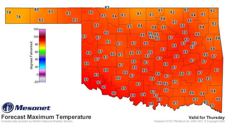
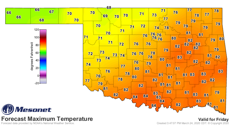
There will be plenty of heat building for those storms today and tomorrow, with
highs on Thursday forecast to be in record-ish territory, and enough will stick
around Friday to the south of that warm front -- along with moisture -- to make
a soupy mess for storm development.
Late March in Oklahoma, with severe weather possible? Stay weather aware! We've
already had five tornadoes thus far in 2020. Luckily all of them have been of
the weak (EF0-EF1) variety. Of course, if you get hit by one, it would then
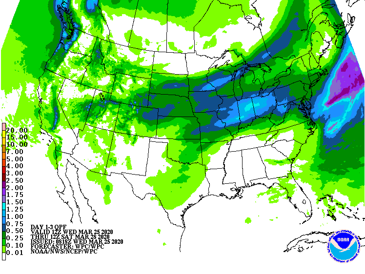
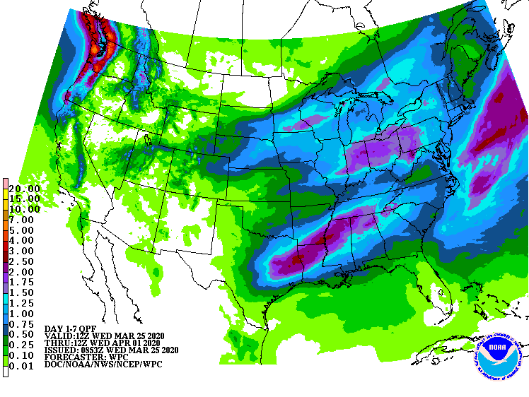
become all BUT weak. There won't be a lot of rain in this, at least not for the
larger area, but somebody could get a dose of an inch or so. Maybe a bit more
as we get into early next week.
Now all the meteorology types are going to go gaga over severe weather, whilst
us climatology types (okay, mainly just me) are more excited about the prospect
for record heat! All eyes on THIS map for tomorrow.
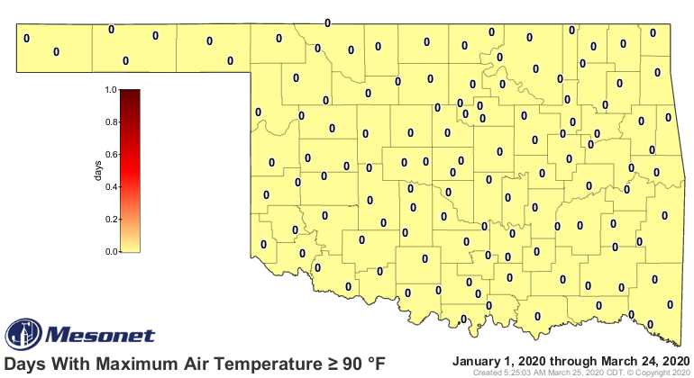
We're not ready to declare the state frost free just yet, but it's around the
corner!
Gary McManus
State Climatologist
Oklahoma Mesonet
Oklahoma Climatological Survey
(405) 325-2253
gmcmanus@mesonet.org
March 25 in Mesonet History
| Record | Value | Station | Year |
|---|---|---|---|
| Maximum Temperature | 93°F | WOOD | 1998 |
| Minimum Temperature | 15°F | BOIS | 2013 |
| Maximum Rainfall | 2.92 inches | VALL | 2024 |
Mesonet records begin in 1994.
Search by Date
If you're a bit off, don't worry, because just like horseshoes, “almost” counts on the Ticker website!