Ticker for August 28, 2019
MESONET TICKER ... MESONET TICKER ... MESONET TICKER ... MESONET TICKER ...
August 28, 2019 August 28, 2019 August 28, 2019 August 28, 2019
What happened to the KABOOM?

Par for the course for far SW OK. The rest of the state (or most of it) gets a
decent-to-whoaslowdownthere dose of rain but it comes up with just a smidgen
above nada. That's why that area is in the worst drought conditions and the rest
(again, most of it) has seen a bit of a reduction in drought impacts. That's fine,
that's fine, they may still have a chance in the next 4 or 5 days.
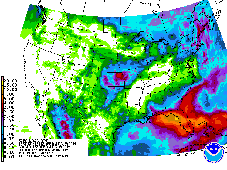
Some of the totals over the last 7 days have been fairly hefty, with Webbers
Falls leading the way at 9.64 inches. Here are the top-10 totals over the last
week.
-***-
Webbers Falls 9.64 Okmulgee 5.42
Sallisaw 8.51 Foraker 5.21
Inola 5.98 Hectorville 5.20
Beaver 5.84 Cookson 5.07
Miami 5.63 Pryor 5.02
-****-
Not bad! Beaver is something of a mammal, but also an outlier (snuck one by ya,
go back and read it again). Not often does a Panhandle station get in the
rainfall glory column.
Altus and Tipton at 0.01 inches. We see you!
Gary McManus
State Climatologist
Oklahoma Mesonet
Oklahoma Climatological Survey
(405) 325-2253
gmcmanus@mesonet.org
August 28 in Mesonet History
| Record | Value | Station | Year |
|---|---|---|---|
| Maximum Temperature | 111°F | ALTU | 2011 |
| Minimum Temperature | 50°F | BOIS | 2004 |
| Maximum Rainfall | 4.73 inches | VINI | 2025 |
Mesonet records begin in 1994.
Search by Date
If you're a bit off, don't worry, because just like horseshoes, “almost” counts on the Ticker website!