Ticker for September 18, 2017
MESONET TICKER ... MESONET TICKER ... MESONET TICKER ... MESONET TICKER ...
September 18, 2017 September 18, 2017 September 18, 2017 September 18, 2017


State Fair Represent!


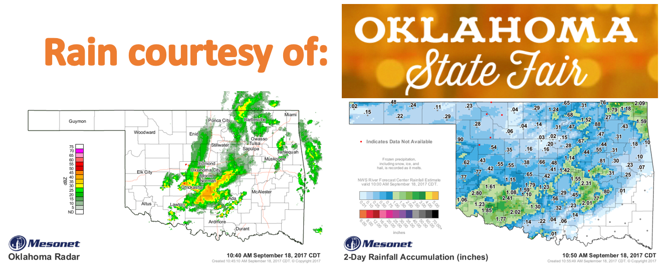
Silly me, when I wrote the last Ticker saying the rain forecast was probably
being a bit too optimistic, I forgot a very important forecasting tool for
September...THE STATE FAIR WAS STARTING LAST WEEK!

BUT, it's not like it's been a tropical rain forest around here. We did have
the return to summer that was forecast. Saturday was particularly nasty with
highs approaching 100 in some areas and winds gusting over 30 mph. The front
did us wonders yesterday, however, and the moisture is much appreciated. We do
have more chances coming up, but we also see more summer this week as well. To
spell it out...rain ending today, getting hot for the next few days, then a (big?)
pattern change coming next week sometime with a real taste of fall?

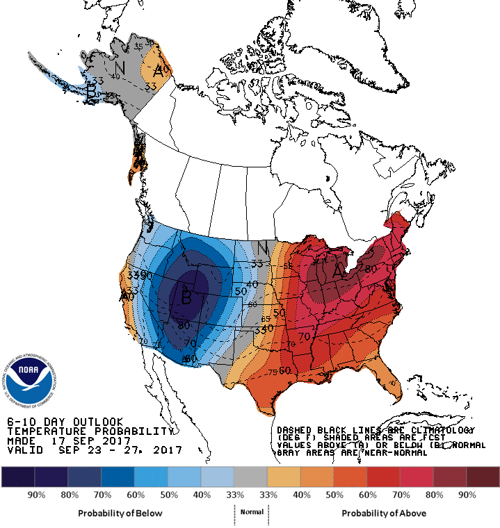
The hints are in the CPC temp and precip outlooks as a big trough of low
pressure forms out west and hopefully propagates eastward, bring us some more
unsettled weather.


In other words, your typical Oklahoma September.

Gary McManus
State Climatologist
Oklahoma Mesonet
Oklahoma Climatological Survey
(405) 325-2253
gmcmanus@mesonet.org
September 18 in Mesonet History
| Record | Value | Station | Year |
|---|---|---|---|
| Maximum Temperature | 107°F | BUFF | 1997 |
| Minimum Temperature | 40°F | BOIS | 2012 |
| Maximum Rainfall | 3.61″ | OILT | 2015 |
Mesonet records begin in 1994.
Search by Date
If you're a bit off, don't worry, because just like horseshoes, “almost” counts on the Ticker website!