Ticker for August 11, 2017
MESONET TICKER ... MESONET TICKER ... MESONET TICKER ... MESONET TICKER ...
August 11, 2017    August 11, 2017    August 11, 2017    August 11, 2017


ZOUNDS!


ZOUNDS!

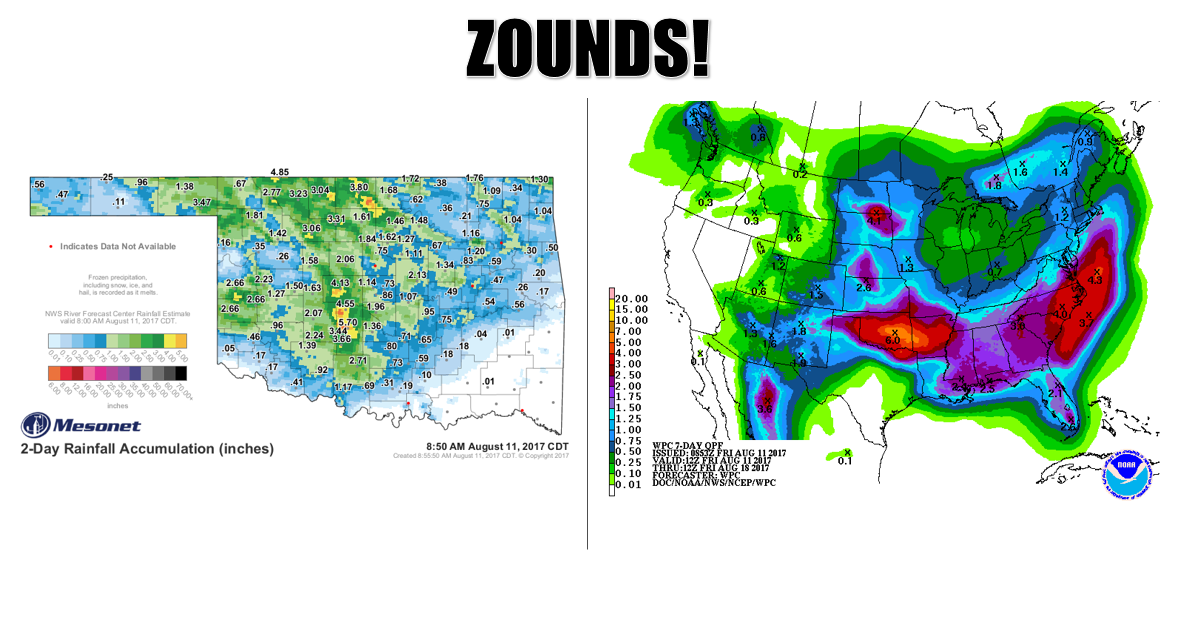
Probably not REALLY worthy of one of our patented "ZOUNDS," except for the fact
that it's August. This is again very un-August-like. Round 2 of showers and
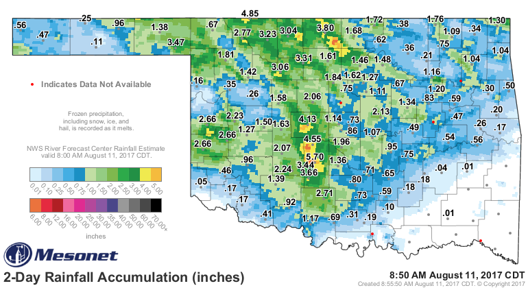
storms (I think round 2...maybe 3 or 4??) left another soaking across much of
the state, with 2-4 inches across localized areas.


Leaving us with some very impressive 2-day totals.


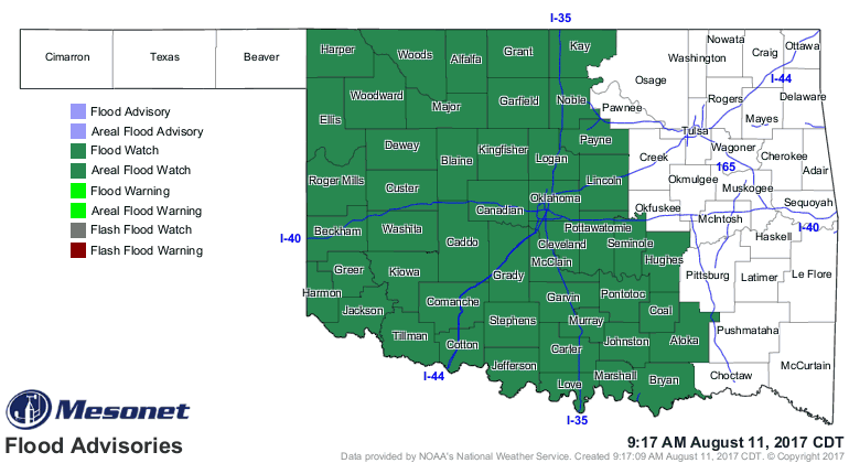
I believe Grady County is waving a very soggy white flag right about now. Flooding
has already occurred and it will continue to be a concern across central and
western Oklahoma.


At any rate, more's on the way over the weekend, with rain chances extending
well into next week.

We're now up to a statewide average of 3.15 inches for August  according to the
Mesonet, tied with 2002 for the 46th wettest on record.

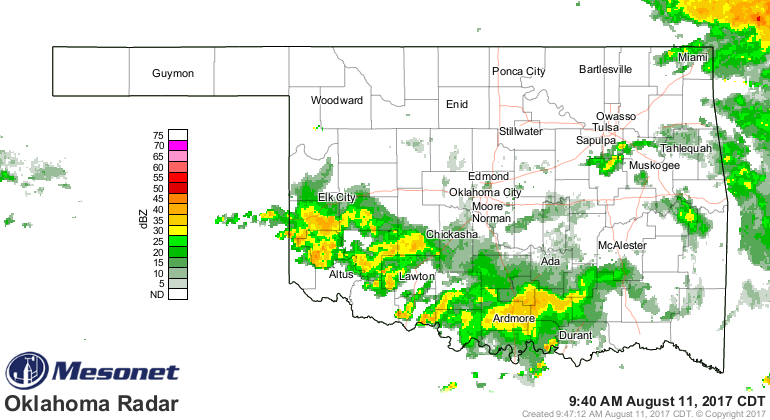
With 20 days left and a lot of rain coming this weekend. It's raining RIGHT NOW,
for crying out loud!


ZOUNDS!

Gary McManus
State Climatologist
Oklahoma Mesonet
Oklahoma Climatological Survey
(405) 325-2253
gmcmanus@mesonet.org
August 11 in Mesonet History
| Record | Value | Station | Year |
|---|---|---|---|
| Maximum Temperature | 112°F | ALTU | 2023 |
| Minimum Temperature | 52°F | NOWA | 2012 |
| Maximum Rainfall | 5.58″ | SHAW | 2008 |
Mesonet records begin in 1994.
Search by Date
If you're a bit off, don't worry, because just like horseshoes, “almost” counts on the Ticker website!