Ticker for June 22, 2017
MESONET TICKER ... MESONET TICKER ... MESONET TICKER ... MESONET TICKER ...
June 22, 2017 June 22, 2017 June 22, 2017 June 22, 2017
Pure country
Oh, not a Kenny Rogers fan?? What are ya, Bulgarian? Younger than 50 years
old? Well crank up the googles and learn! Now I'm not claiming it's good music,
but I'm not denying it either. Let's call it pandering. Hit it!
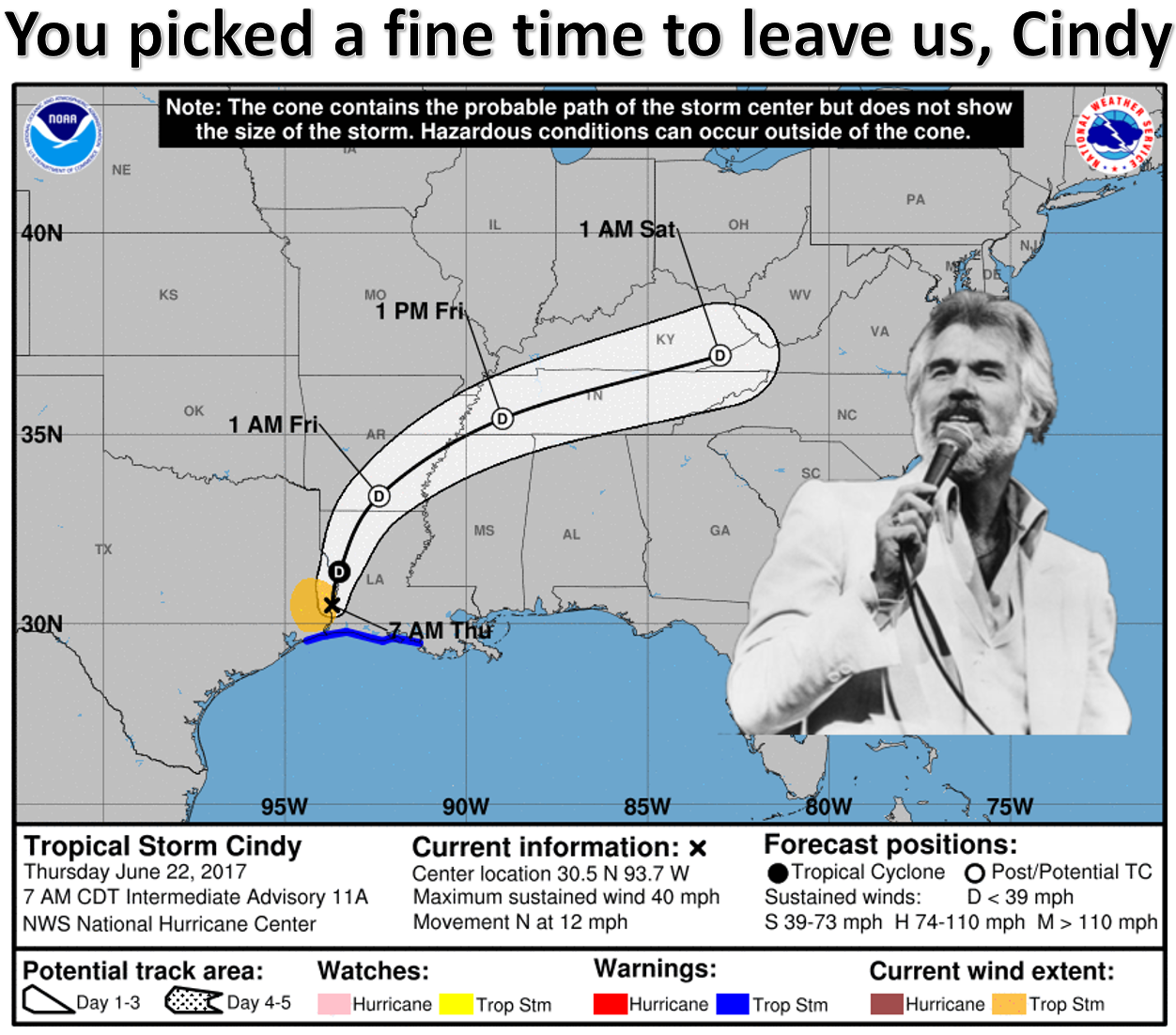
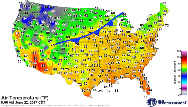
You picked a fine time to bypass us Cindy, with flash drought accelerating
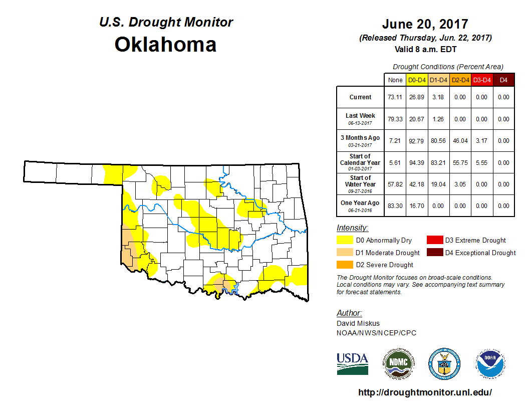
and the rainfall deficits growing
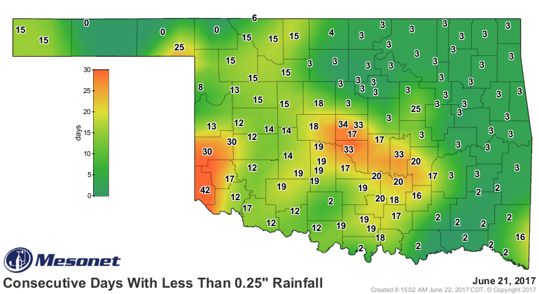
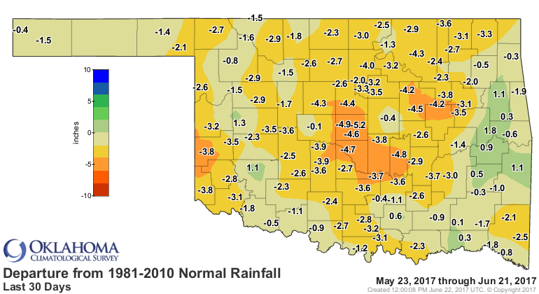
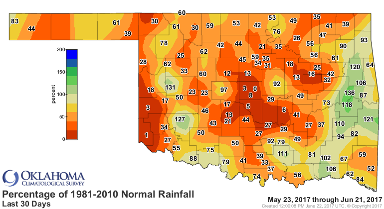
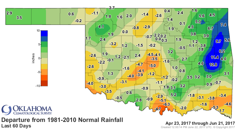

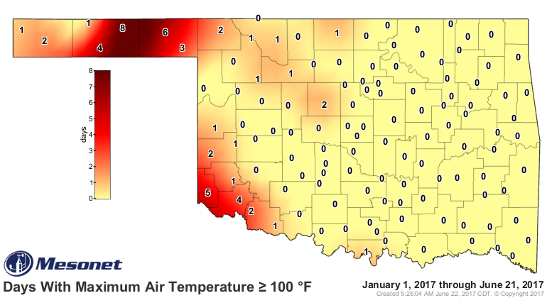
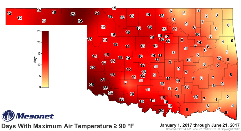
and flash summer that started...well, that started back in February.
Okay, cut the music!
As Cindy slides off to the northeast later today, our next best hope is the
cold front coming down from the Northern Plains
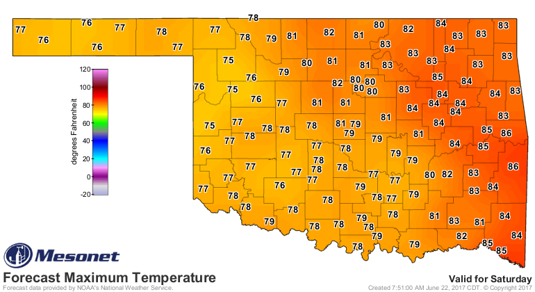
It's not a Blue Norther', but for June, it's pretty stout. Along with the
associated clouds and possible rainfall, it's going to give us a fairly
April-ish weekend.

From what I can tell, the forecast is quite uncertain and a bit messy, but the
latest rainfall forecast for this weekend looks something like this.
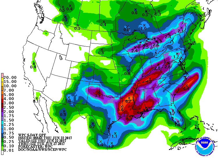
So right now SW OK is in the bullseye, but quite frankly, they need it the most.
But central OK is right behind them. And Cindy's moisture was oh so close.
Maybe next time. Bet on it. But remember...
You've got to know when to hold 'em
Know when to fold 'em
Know when to walk away
And know when to run
You never total your rainfall
When you're lookin' at the forecast
There'll be time enough for totalin'
When the rainin's done.
Gary McManus
State Gambler
Oklahoma Mesonet
Oklahoma Climatological Survey
(405) 325-2253
gmcmanus@mesonet.org
June 22 in Mesonet History
| Record | Value | Station | Year |
|---|---|---|---|
| Maximum Temperature | 104°F | TIPT | 1998 |
| Minimum Temperature | 49°F | BOIS | 2004 |
| Maximum Rainfall | 4.73 inches | MANG | 1999 |
Mesonet records begin in 1994.
Search by Date
If you're a bit off, don't worry, because just like horseshoes, “almost” counts on the Ticker website!