Ticker for August 24, 2016
MESONET TICKER ... MESONET TICKER ... MESONET TICKER ... MESONET TICKER ...
August 24, 2016 August 24, 2016 August 24, 2016 August 24, 2016
Oh, it's still summer?
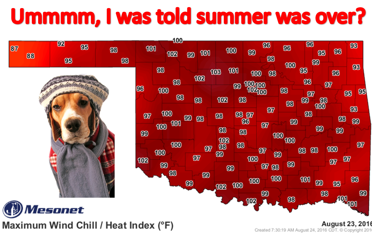
Hey, don't blame me! I didn't tell that cold front to stall out instead of
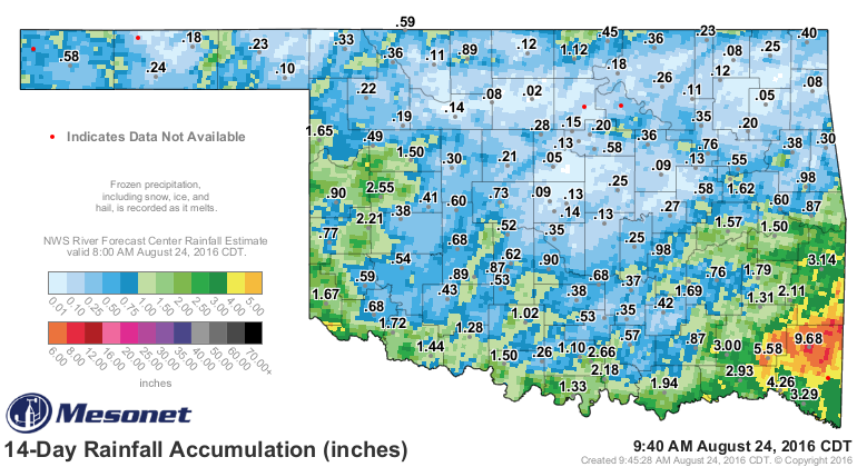
blasting through the state. Okay, you can blame me for it getting hot again AND
for the lack of promised rainfall. Except for the far SE. They can thank me. And
far western Oklahoma. And along the Red River. Okay, other than those folks, you
can blame me.
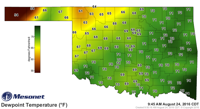
And the stalled cold front will be the focus for more storms tonight and then
for the next few days, apparently. We had some severe weather last night, and we
could have more tonight. It's all this humidity! That's what's making it so
miserable again, and when you have a stalled front sitting across NW OK, that's
the perfect focus for storms when it gets this hot with all that atmospheric water
vapor looking for something to do.
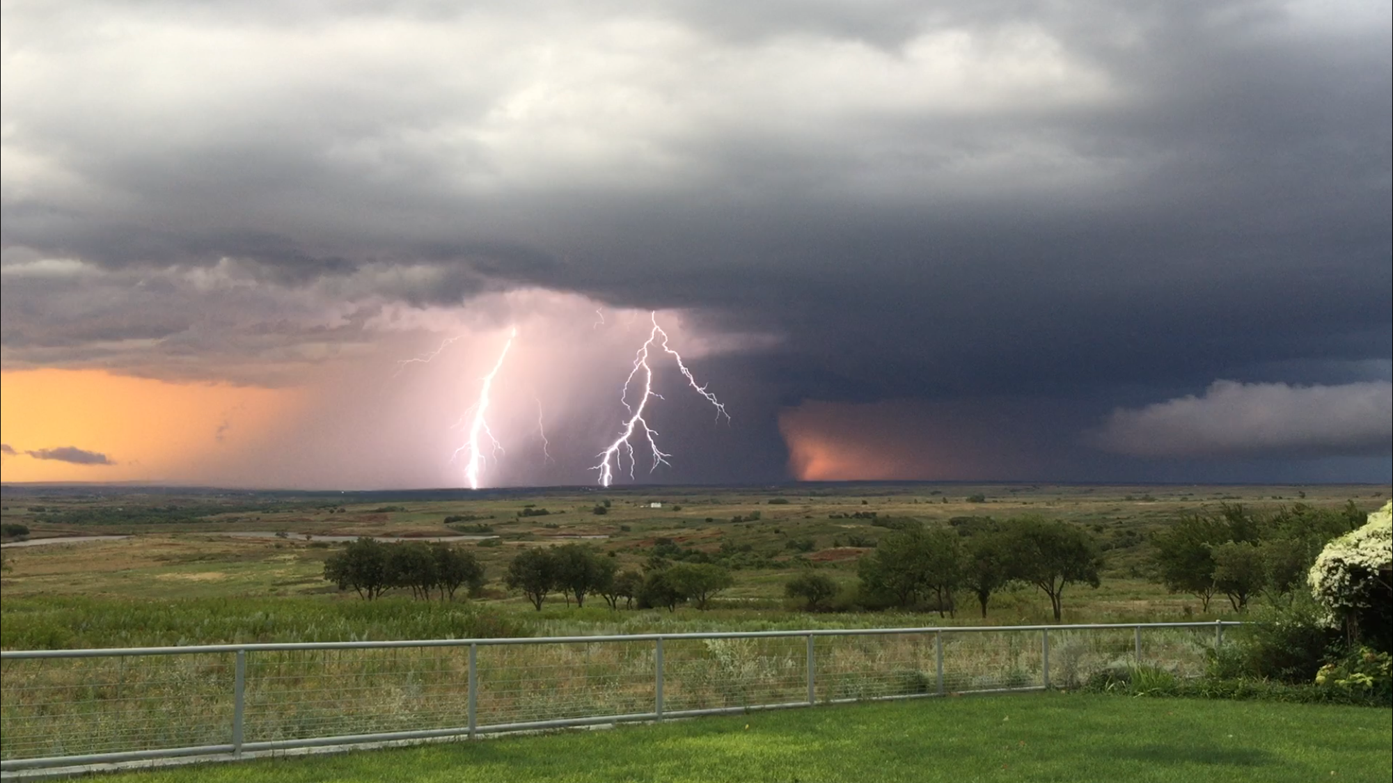
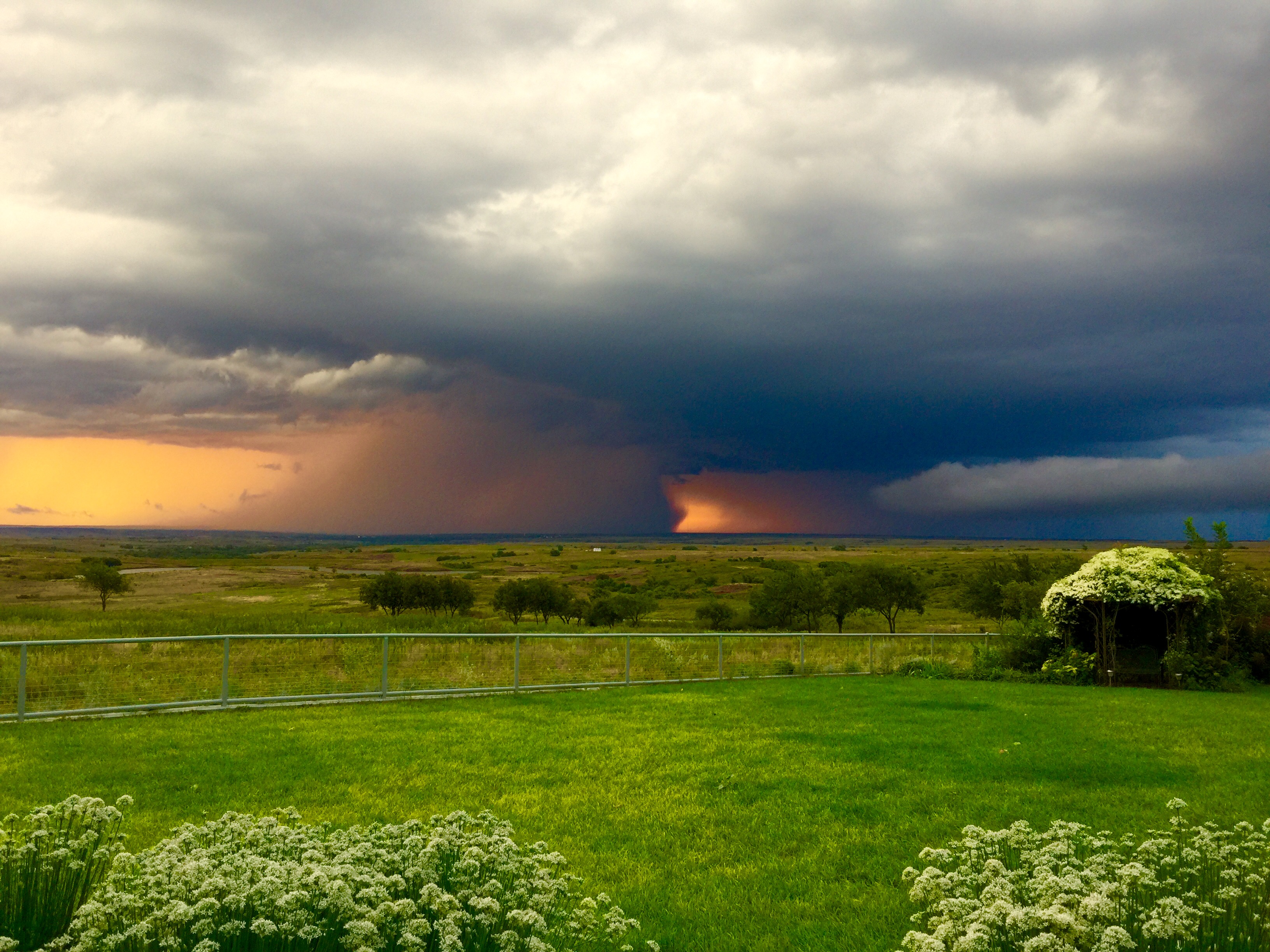
It do make some pretty pictures when it does storm, especially in the rolling
hills of Roger Mills County. These were taken near the Cheyenne Mesonet site
last night with the severe storm that rolled through that area (if you have
found us on Facebook or Twitter, you saw these last night probably).
So stay tuned for more of the same...highs in the 90s somewhere with lots of
humidity at times as well as storm chances, depending on when and where they
have something to build upon (like our current stalled front in the NW).
But rumors of summer's demise were a tad premature.
Gary McManus
State Climatologist
Oklahoma Mesonet
Oklahoma Climatological Survey
(405) 325-2253
gmcmanus@mesonet.org
August 24 in Mesonet History
| Record | Value | Station | Year |
|---|---|---|---|
| Maximum Temperature | 113°F | FREE | 2024 |
| Minimum Temperature | 52°F | EVAX | 2022 |
| Maximum Rainfall | 4.59″ | SHAW | 2010 |
Mesonet records begin in 1994.
Search by Date
If you're a bit off, don't worry, because just like horseshoes, “almost” counts on the Ticker website!