Ticker for February 4, 2016
MESONET TICKER ... MESONET TICKER ... MESONET TICKER ... MESONET TICKER ...
February 4, 2016 February 4, 2016 February 4, 2016 February 4, 2016
Want snow?
First, what's wrong with you?? Second, better head north. This snow depth analysis
shows the result of this week's blizzard from the Rockies up through the upper
Midwest. Remember, this was the same system that brought us a bit of rain and
storms, and then the tornadoes to the deep South.
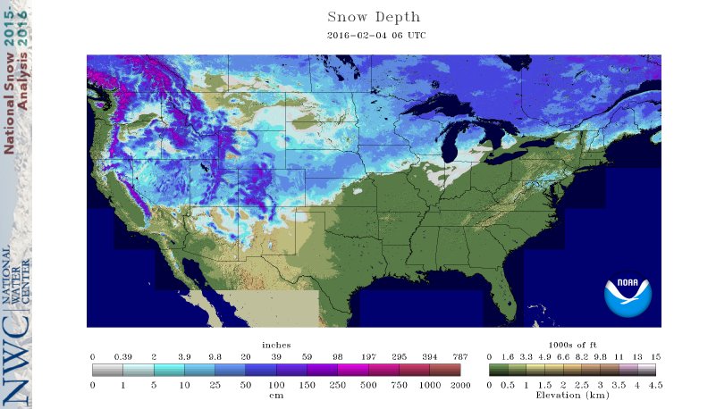
According to the analysis, 44% of the lower 48 is covered by snow to an average
of about 5.5 inches. Again though, that depth goes up to about 10-20 inches
along the track of that blizzard. Also noteworthy is the nearly complete
loss of the snowpack from the big East Coast blizzard of a couple weeks ago after
temperatures there soared into the 50s and above a few days after the dumping.
As for our area, don't look for any blizzard chances anytime soon. In fact, don't
look for anything for another week, as we bemoaned in yesterday's Ticker. The
temperature forecast graphs are nearly horizon-like
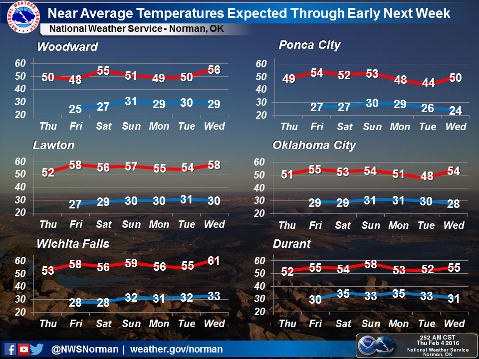
and the outlook past that doesn't look too exciting either. Warmer and continued
dry weather looks in the offing at this time.


The jet stream has abandoned us for now, other than to allow a continuing
series of mostly dry cold fronts. Better times are ahead, depending on your
weather wishes. If you like long stretches of little precip and seasonable
to below seasonable temperatures, you're gold now.
Gary McManus
State Climatologist
Oklahoma Mesonet
Oklahoma Climatological Survey
(405) 325-2253
gmcmanus@mesonet.org
February 4 in Mesonet History
| Record | Value | Station | Year |
|---|---|---|---|
| Maximum Temperature | 84°F | NEWP | 2008 |
| Minimum Temperature | -12°F | KENT | 2022 |
| Maximum Rainfall | 2.37 inches | MTHE | 2020 |
Mesonet records begin in 1994.
Search by Date
If you're a bit off, don't worry, because just like horseshoes, “almost” counts on the Ticker website!