Ticker for March 24, 2015
MESONET TICKER ... MESONET TICKER ... MESONET TICKER ... MESONET TICKER ...
March 24, 2015 March 24, 2015 March 24, 2015 March 24, 2015
One hail only, please. Hold the tornadoes.

You know it's springtime in Oklahoma when frightened Moore State Climatologists
are hoping for just some hail, maybe some wind, hold the EF-5 tornadoes. Now
before we get too anxious, no sign of a big tornadic event getting ready to
strike...things still appear to be mostly a hail and severe wind event gearing up
in NE OK today and farther to the south and west tomorrow. However, only a
(not wise person)would relax completely with severe thunderstorms around during
this time of year.
The NWS' Storm Prediction Center has a slight chance of severe storms across
E OK for tonight, and a tiny bit of enhanced changes across far NE OK.
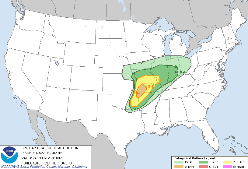
That comes with a relatively minor risk of tornadoes, but a somewhat great risk
for severe winds and hail.
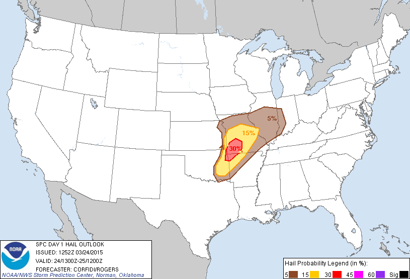
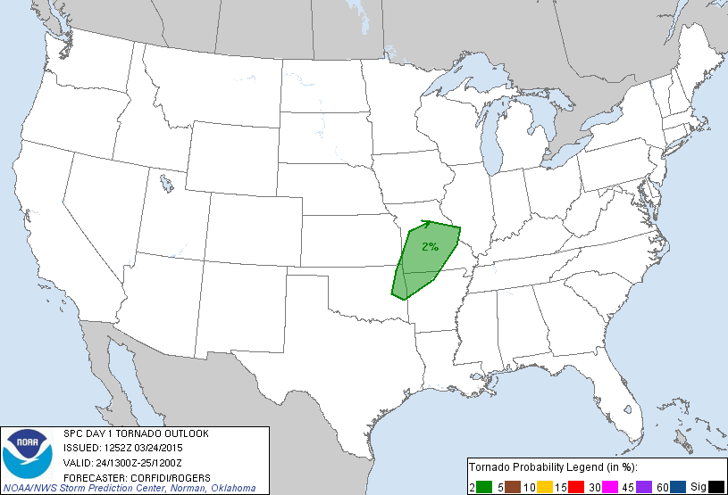
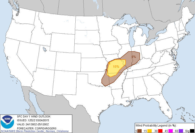
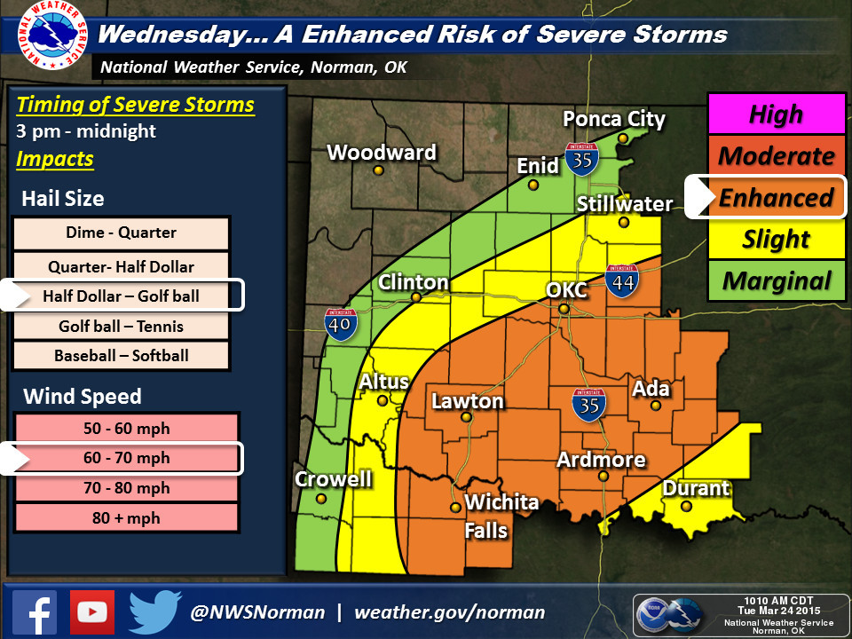
Tomorrow's SPC outlook shifts the main area of concern to the south and west,
with more slight and enhanced risk for severe weather covering more area of
the state.
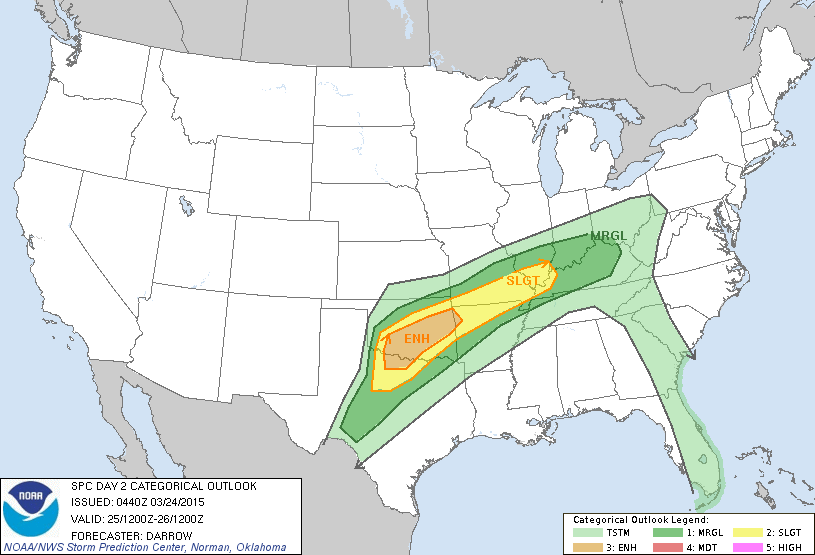
Here are the takes for tonight from the Tulsa NWS office, and for tomorrow for
the Tulsa and Norman NWS offices.
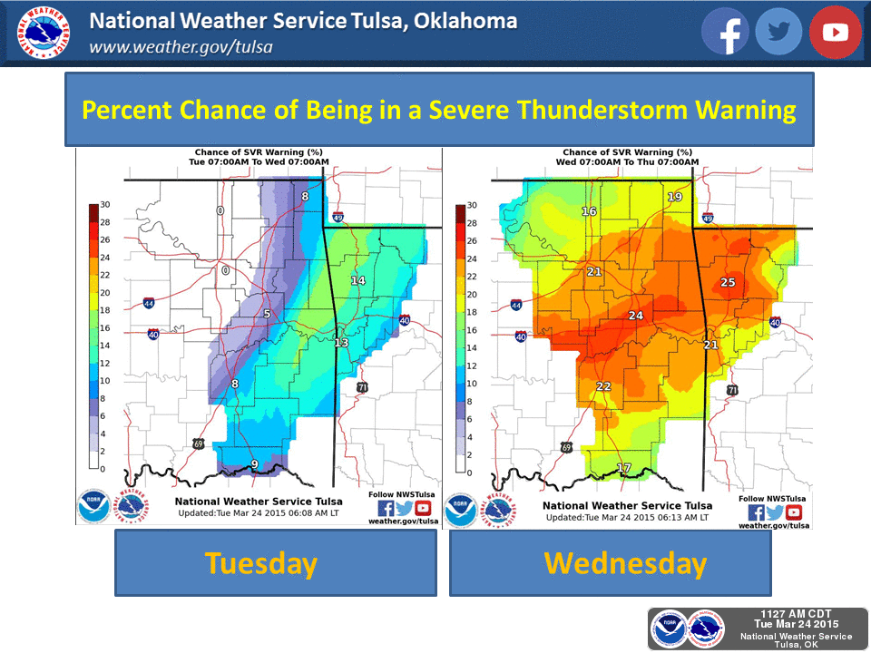
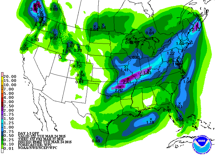
The rainfall pattern for this event certainly looks convective in nature, with
a squall-line'ish signature showing up eventually. Still nothing for most of
western OK, unfortunately.
Of course we have to get past the fire danger out west today first. Now my
intent is not to be your forecaster-of-choice for this severe weather event.
My purpose is to get you thinking about your severe weather safety, to be
weather aware the next couple of days, and be sure to keep informed from your
favorite NWS or media source.
So for goodness sakes, just collaborate and listen, and stay safe.
MC Gary McManus
State Climatologist
Oklahoma Mesonet
Oklahoma Climatological Survey
(405) 325-2253
gmcmanus@mesonet.org
March 24 in Mesonet History
| Record | Value | Station | Year |
|---|---|---|---|
| Maximum Temperature | 88°F | ALTU | 2003 |
| Minimum Temperature | 12°F | KENT | 2013 |
| Maximum Rainfall | 5.00″ | CLAY | 2023 |
Mesonet records begin in 1994.
Search by Date
If you're a bit off, don't worry, because just like horseshoes, “almost” counts on the Ticker website!