Ticker for August 28, 2013
MESONET TICKER ... MESONET TICKER ... MESONET TICKER ... MESONET TICKER ...
August 28, 2013 August 28, 2013 August 28, 2013 August 28, 2013
Ring of fire
I won't besmirch Johnny Cash's song by trying to come up with some new lyrics,
but with that upper-level ridge of high pressure still camped over us, it sort
of feels like he was singing about us. Again, it's still August and it's still
summer, but I'm sure many of you would prefer the first half of August's weather
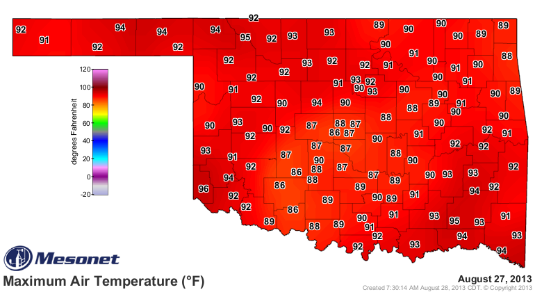
instead of the scorching we're getting now. We did have some clouds yesterday,
however, which made it feel a bit nicer. So no triple-digits in the state, at
least.
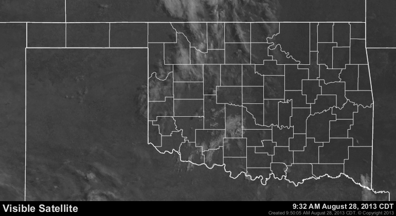
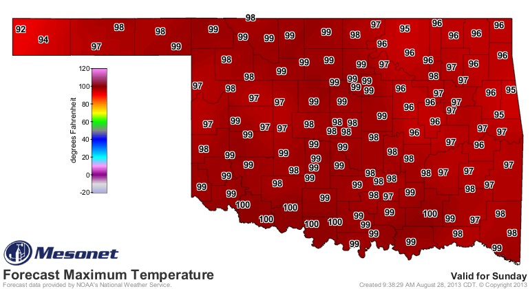
Unfortunately, not as many clouds out there today, and the forecast reflects it
out west and down south.

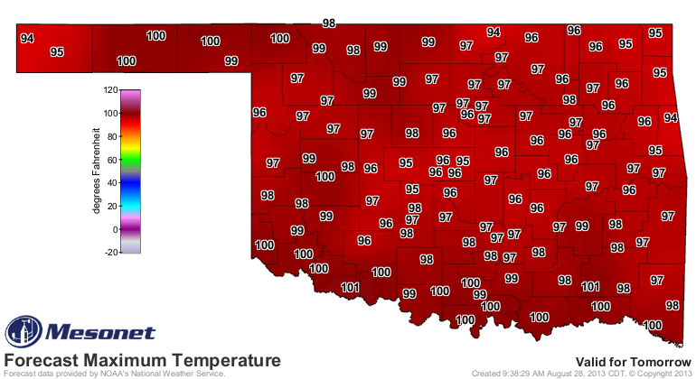
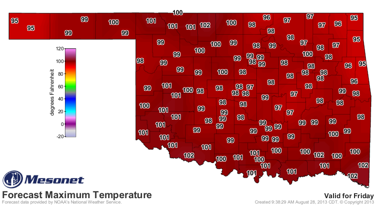
The real heat is still on the way, however. Friday and Saturday look like true
heat wave weather.

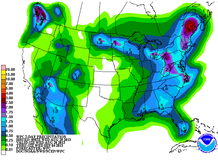
The rainfall forecast still reflects the position of that upper-level ridge
for at least the next 7 days, so we're going to get a bit more dessication for
another week.
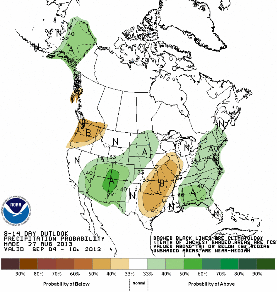
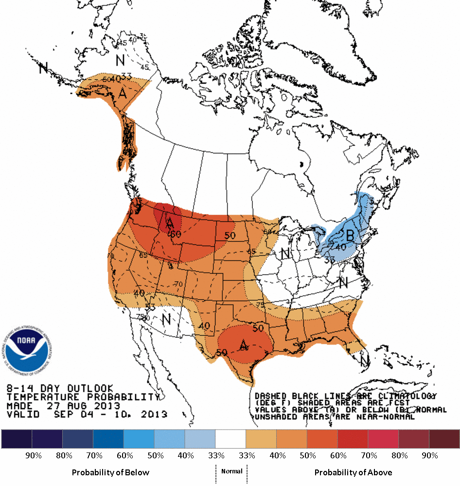
The CPC isn't showing much hope for that first bit of September, either, but
these outlooks are a day old, so maybe there will be better news in there later
today.
So Mother Nature is acting all ornery on us again. That's okay. We're getting
used to it. At least there's no tornadoes, flooding or large damaging hail,
right??
That was all at my house in May, by the way.
Gary McManus
Associate State Climatologist
Oklahoma Climatological Survey
(405) 325-2253
gmcmanus@mesonet.org
August 28 in Mesonet History
| Record | Value | Station | Year |
|---|---|---|---|
| Maximum Temperature | 111°F | ALTU | 2011 |
| Minimum Temperature | 50°F | BOIS | 2004 |
| Maximum Rainfall | 4.73″ | VINI | 2025 |
Mesonet records begin in 1994.
Search by Date
If you're a bit off, don't worry, because just like horseshoes, “almost” counts on the Ticker website!