Ticker for January 2, 2006
MESONET TICKER ... MESONET TICKER ... MESONET TICKER ... MESONET TICKER ...
January 2, 2006 January 2, 2006 January 2, 2006 January 2, 2006
Southeast Oklahoma Nation's Driest Climate Division in 2005
The preliminary figures are in and they indicate that - based on
percentage of normal rainfall - southeast Oklahoma was the driest
of the 394 climate divisions in the continental United States.
Mesonet data indicates that the division received 55% of its normal
rainfall in 2005. NWS Cooperative Observer data paints the area with
61% of normal rainfall. Either percentage is lower than its
neighboring division (southwest Arkansas), which appears to have
closed the year at 64% of normal precipitation.
Windborne Dust Colors Oklahoma Skies
Most Ticker subscribers probably saw their fill of pink skies today,
but a couple hundred readers live outside of Oklahoma. Here are some
images from Sunday afternoon:
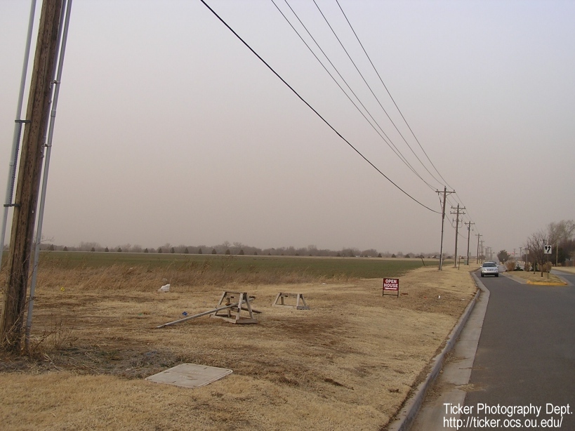
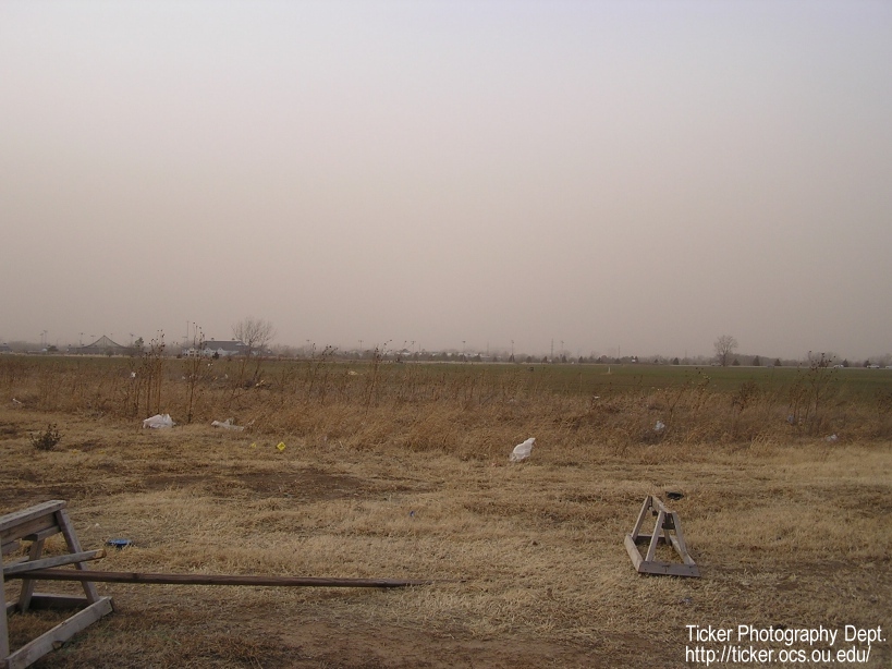
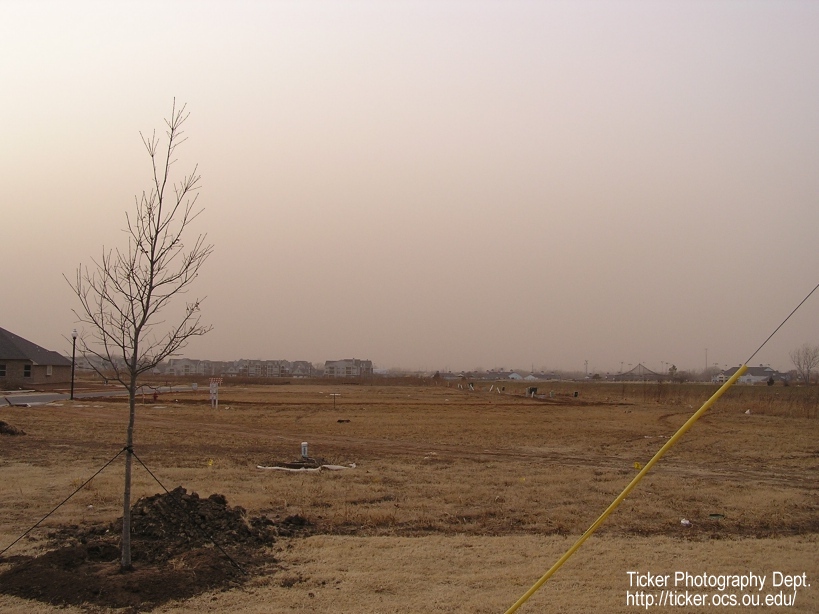
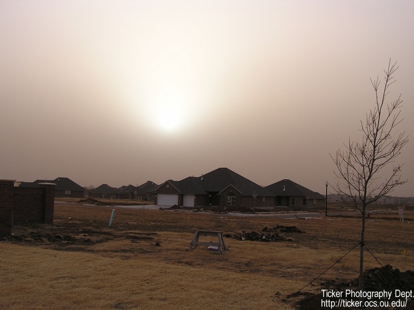
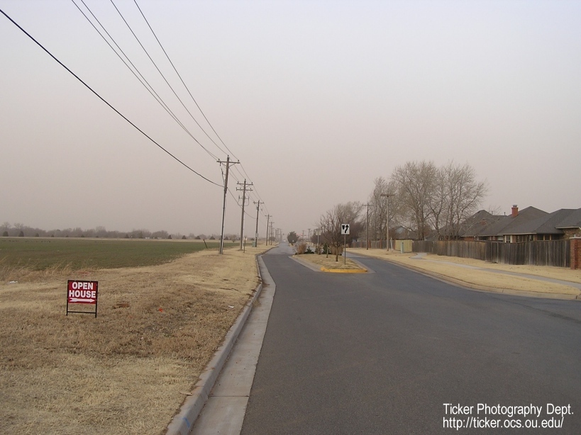
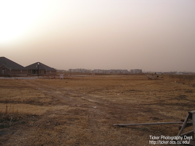
Today's pink skies were caused, of course, by the reddish soils from
New Mexico, Texas and Oklahoma. Strong winds, prolonged dryness, and
unprotected soils combine to lift many fine particles into the air,
where they can be transported for hundreds, even thousands, of miles.
The clayey soils of the southwest tend to provide even finer
particulates than sandy or loamy soils. This provides even more fodder
for the season's relentless winds.
How does Drought Impact Fire Danger?
It's quite intuitive to assume that drought increases fire danger by
drying out existing and dormant plant life. And that's a big part of
drought's impact. Howver, one of the "invisible" enhancements to
fire danger comes from drying of the subsurface. As the top few inches
of soil become almost completely dry, the organic material becomes
additional fuel for wildfire. The roots, dead bugs, dead worms, and
such in the subsurface literally burn along with the combustible
material above the surface. This makes for more energetic, hotter
fires. Moreover, they become much more difficult to extinguish.
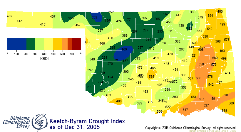
This process begins to impact fire conditions when the Keetch-Byram
Drought Index (KBDI) exceeds about 200. When the KBDI passes 400, the
process becomes even more significant. Above 600, this process is
profound. Today's KBDI values are over 400 across more than half of
the state:
January 2 in Mesonet History
| Record | Value | Station | Year |
|---|---|---|---|
| Maximum Temperature | 80°F | BURN | 2004 |
| Minimum Temperature | -10°F | KENT | 2013 |
| Maximum Rainfall | 2.55″ | CLOU | 2005 |
Mesonet records begin in 1994.
Search by Date
If you're a bit off, don't worry, because just like horseshoes, “almost” counts on the Ticker website!