Ticker for September 9, 2025
MESONET TICKER ... MESONET TICKER ... MESONET TICKER ... MESONET TICKER ...
September 9, 2025 September 9, 2025 September 9, 2025 September 9, 2025
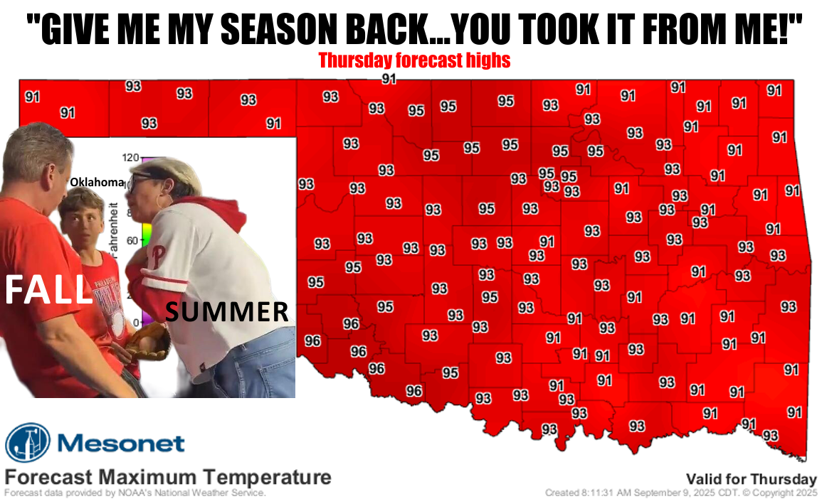
Philly dreaming
Well first off, that about covers the severe weather threat from last night,
including the "low but not zero" tornado threat.
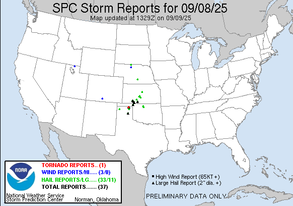
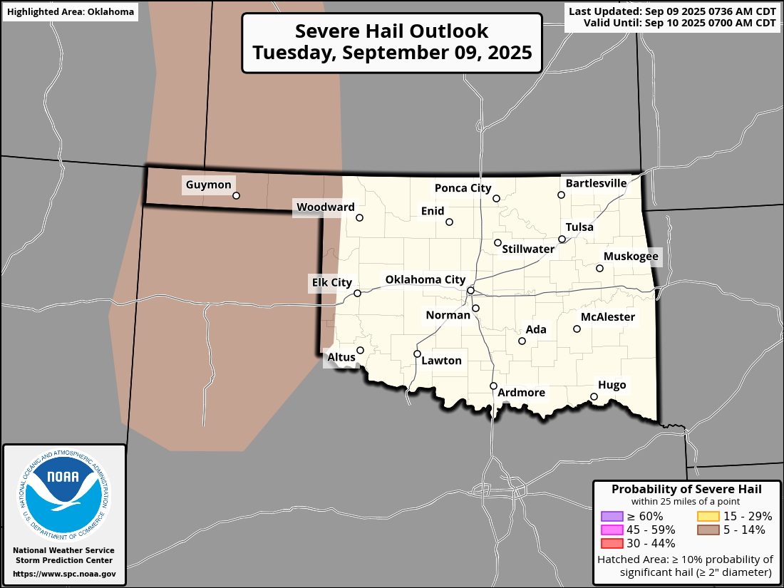
Severe storms, including a long-lived big honking supercell, tore through far NW
OK last night, with tornadoes, up to softball size hail, and winds up to 80 mph
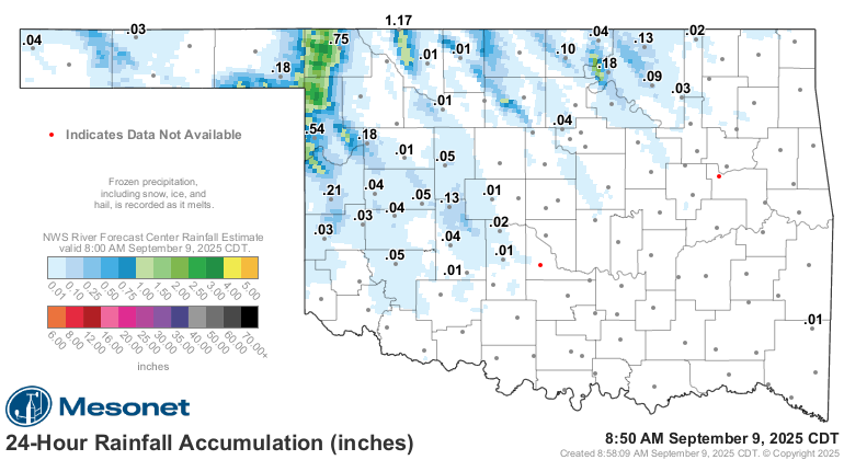
it appeared. Also, flooding rainfall.
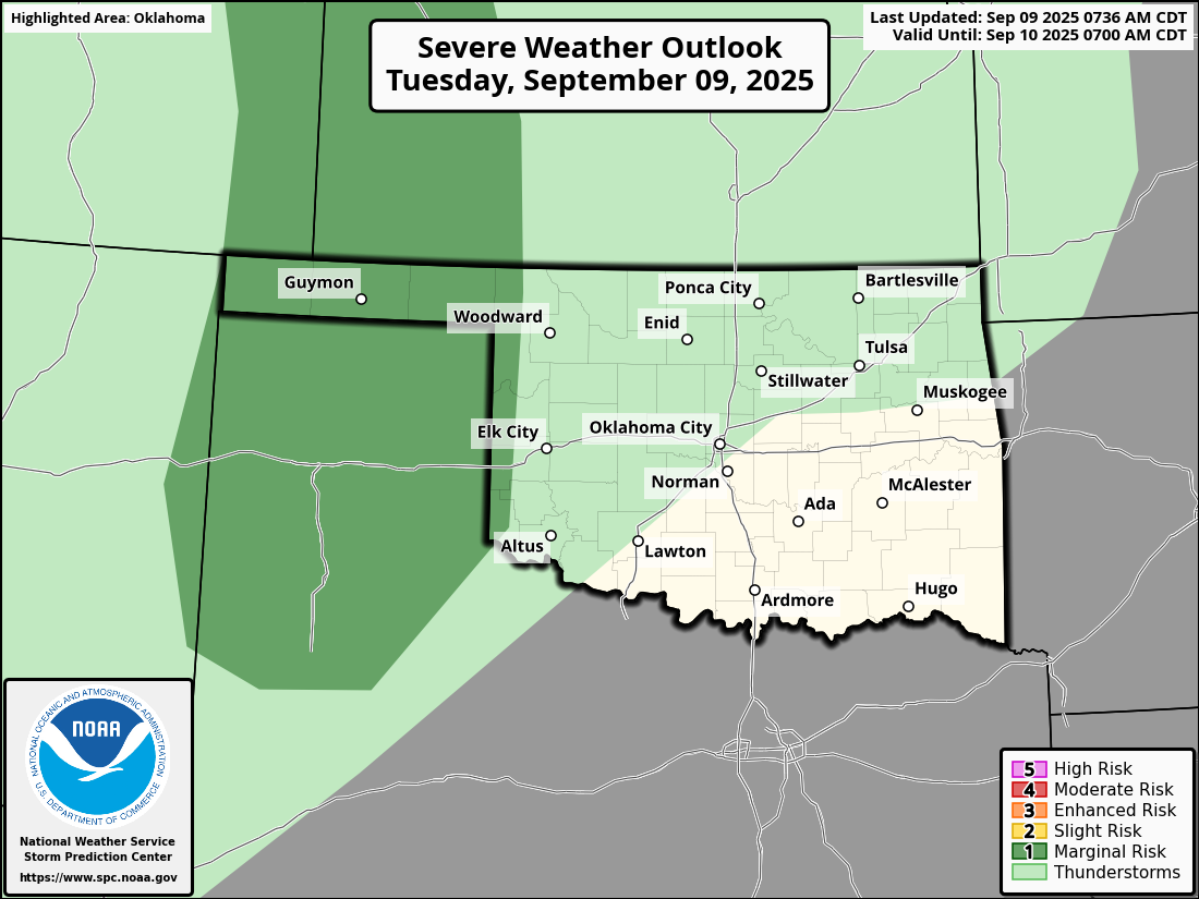
And there will be another chance of severe storms today, although the threat for
hail and severe winds is much more "marginal," BUT IT AIN'T ZERO!

Other than that, it's gonna get kinda boring again, which is good. Unless you
transitioned completely into fall mode, which means you're gonna be sorely
disappointed.
What we got is hot, and lots of it.
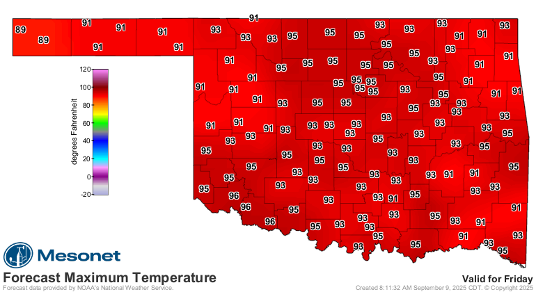
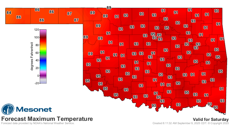
And nothing says you're back in summer than lows in the 70s again.
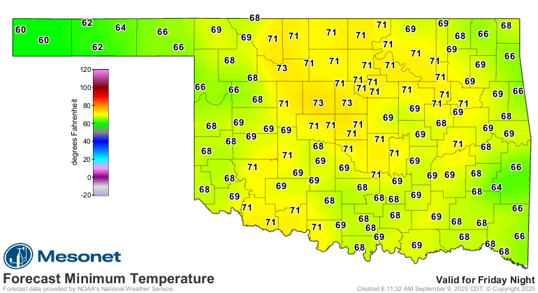
Waiting for that State Fair weather to kick in!
Gary McManus
State Climatologist
Oklahoma Mesonet
Oklahoma Climate Survey
gmcmanus@ou.edu
September 9 in Mesonet History
| Record | Value | Station | Year |
|---|---|---|---|
| Maximum Temperature | 100°F | TIPT | 2016 |
| Minimum Temperature | 33°F | KENT | 2020 |
| Maximum Rainfall | 8.09 inches | SALL | 2010 |
Mesonet records begin in 1994.
Search by Date
If you're a bit off, don't worry, because just like horseshoes, “almost” counts on the Ticker website!