Ticker for March 5, 2024
MESONET TICKER ... MESONET TICKER ... MESONET TICKER ... MESONET TICKER ...
March 5, 2024 March 5, 2024 March 5, 2024 March 5, 2024
Tick Tock
Yep, it's that time of year again.
Huh? March 5, of course! What am I, your own personal human calendar?
Well, I am in a "daze" a lot.
Get it? Daze? Days? Calendar?
Right...it's bad. Really bad. Like this:
What do you call a human calendar who is good at math?
A date-a analyst.
GROAN!
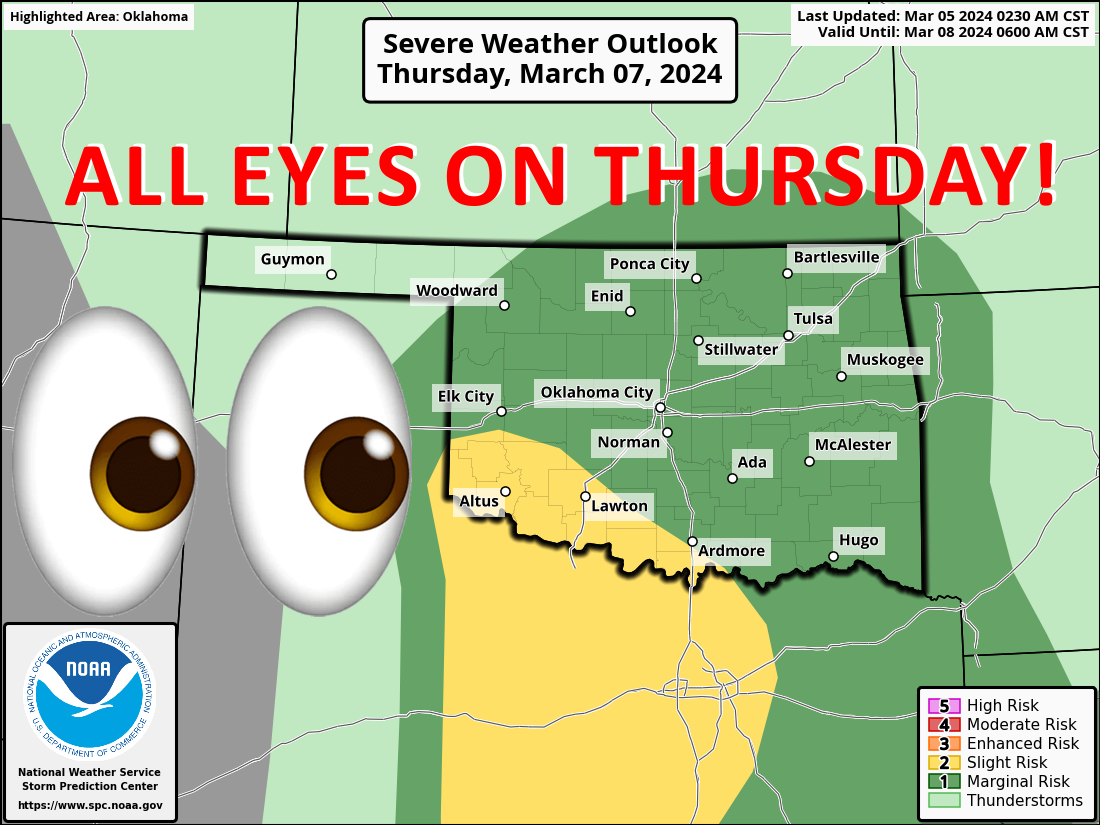
But back to the subject at hand? Oh yeah, SPRING! Spring weather, specifically,
and the threat for severe weather coming up on Thursday. It's still early in
the forecast period for this, being 3 days out, but it does appear there will
be the chance for some supercell action with large hail and severe winds being
the primary threats to focus on at this point. But as per usual, that forecast,
including the severe weather types and locations, will probably change a bit
over the next couple of days, so stay tuned to your favorite non-insane weather
provider.
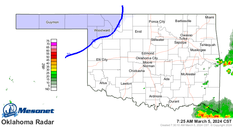
That excludes me, of course, and if you listen to me that means we're BOTH
insane. And heck, it's storming right now for crying out loud! Well...barely.
But it was more widespread earlier.
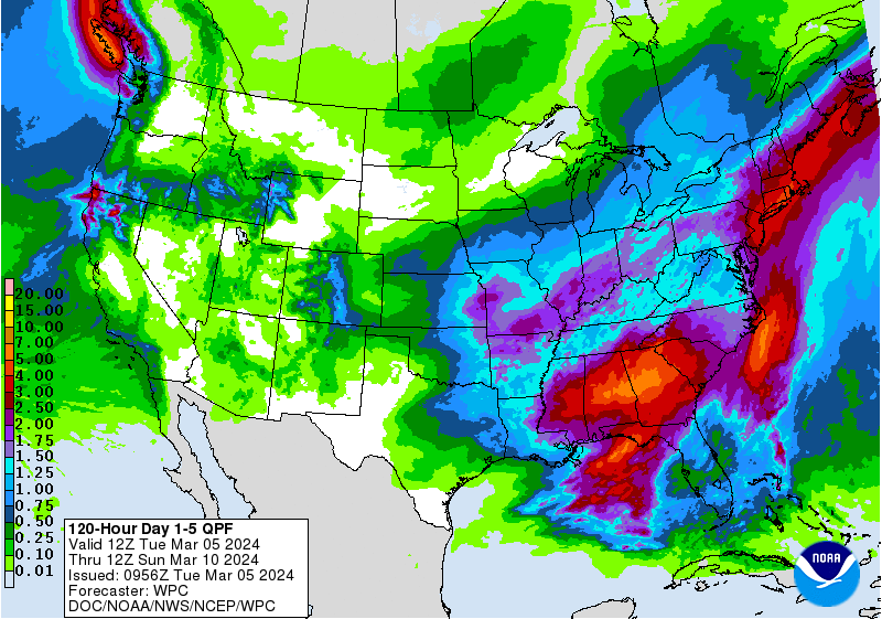
In addition to some minor rain/storm chances the next couple of days, we do see
the possibility for some nice moisture across eastern OK through Thursday night.
You ever see bad moisture? Don't ask.
If it's spring in Oklahoma and we need rain, that will most often necessarily
come with convective precipitation being the primary, uhhhhh...precipitation
type. And with convective elements (i.e., thunderstorms) will sometimes-to-often
come with the threat of severe weather. So no biggie. We all know the drill,
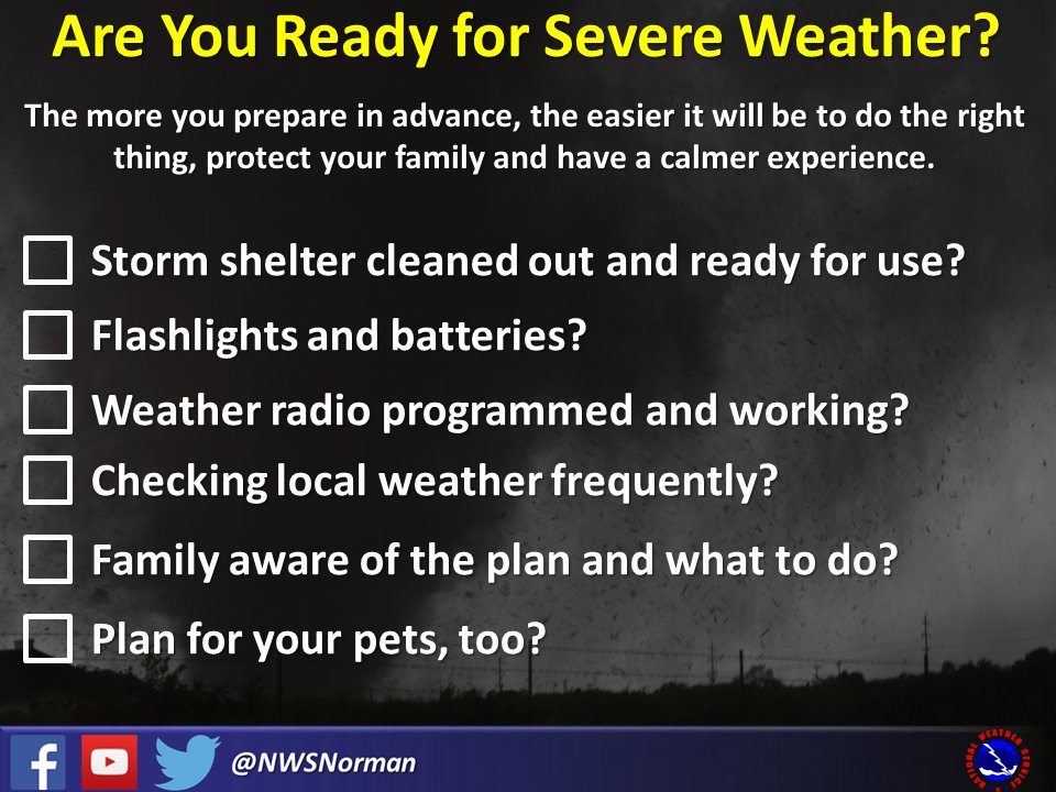
but if not, check this out so you won't be panicking at the last minute after
storms have formed and are moving into your area.
Hey, what do you call a human calendar who is always late?
A: A procrastin-dater.
Gary McManus
State Climatologist
Oklahoma Mesonet
Oklahoma Climatological Survey
gmcmanus@mesonet.org
March 5 in Mesonet History
| Record | Value | Station | Year |
|---|---|---|---|
| Maximum Temperature | 92°F | ALTU | 2009 |
| Minimum Temperature | -2°F | KENT | 2019 |
| Maximum Rainfall | 0.80 inches | REDR | 2021 |
Mesonet records begin in 1994.
Search by Date
If you're a bit off, don't worry, because just like horseshoes, “almost” counts on the Ticker website!