Ticker for February 5, 2024
MESONET TICKER ... MESONET TICKER ... MESONET TICKER ... MESONET TICKER ...
February 5, 2024 February 5, 2024 February 5, 2024 February 5, 2024
Super Snow Sunday?
Sorry, nothing earth shattering today, and I'm not talking about 5.1 magnitude
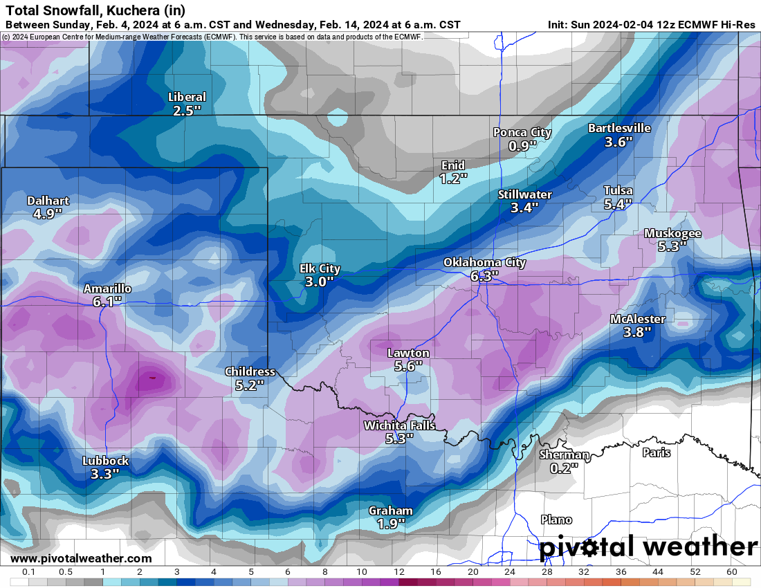
earthquakes centered near Prague, either. We did have something big we were
excited about yesterday, when the European forecast model starting giving us a
Super Bowl Sunday snowstorm, like we saw in yesterday's 6am model run
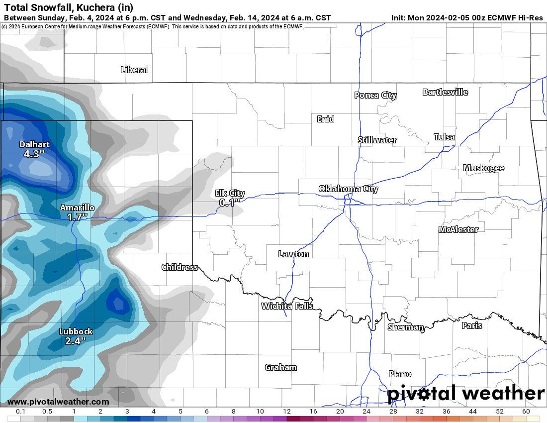
But alas, as with most fantasy-casts of that nature, the models giveth...and the
models taketh away. Hence, the run 12 hours later, yesterday at 6pm.
There's still a hint of snow around, and some of the other models are hinting (lots
of hints, no?) about a bit of snow Saturday into Sunday, but mostly light totals.
And it would be gone very quickly as highs are still looking to get into the 40s
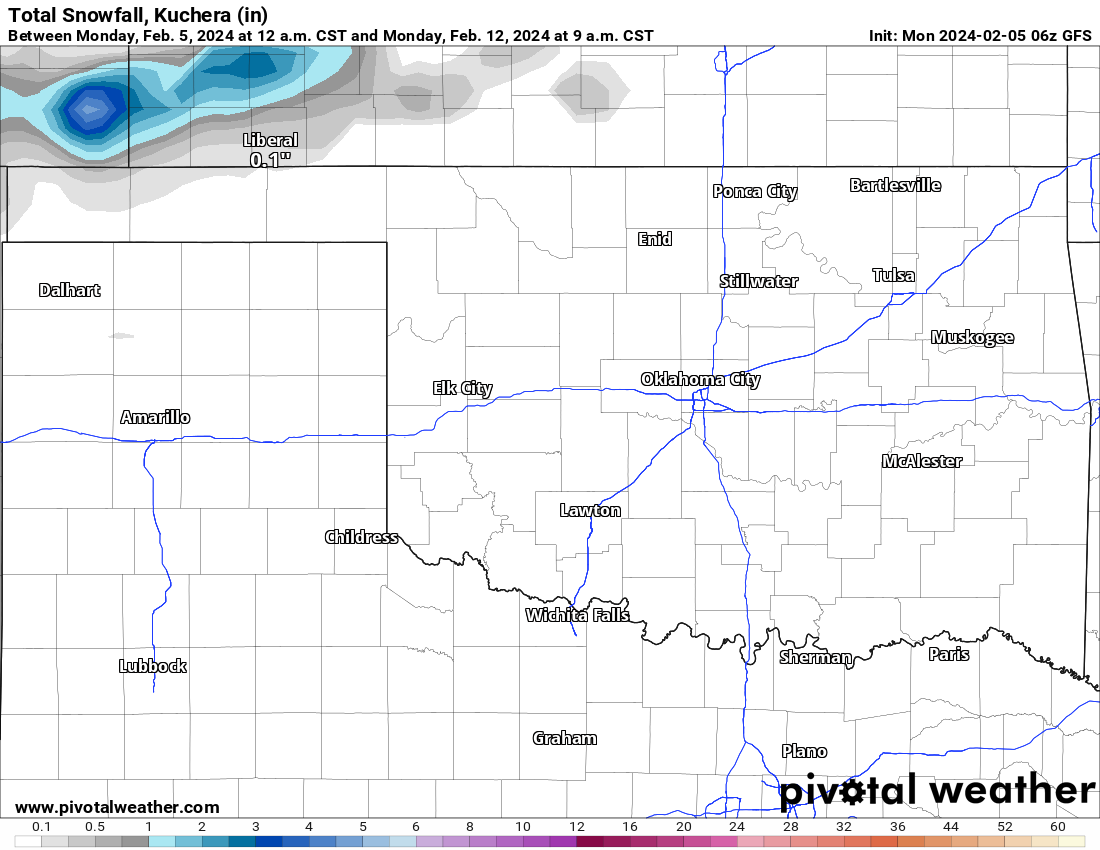
and 50s that day. Even a fantasy-cast repeat offender, the American model GFS,
is saying "Nah! in its latest model run.
So what DO we have? Well, temps a bit warmer than early February-ish.
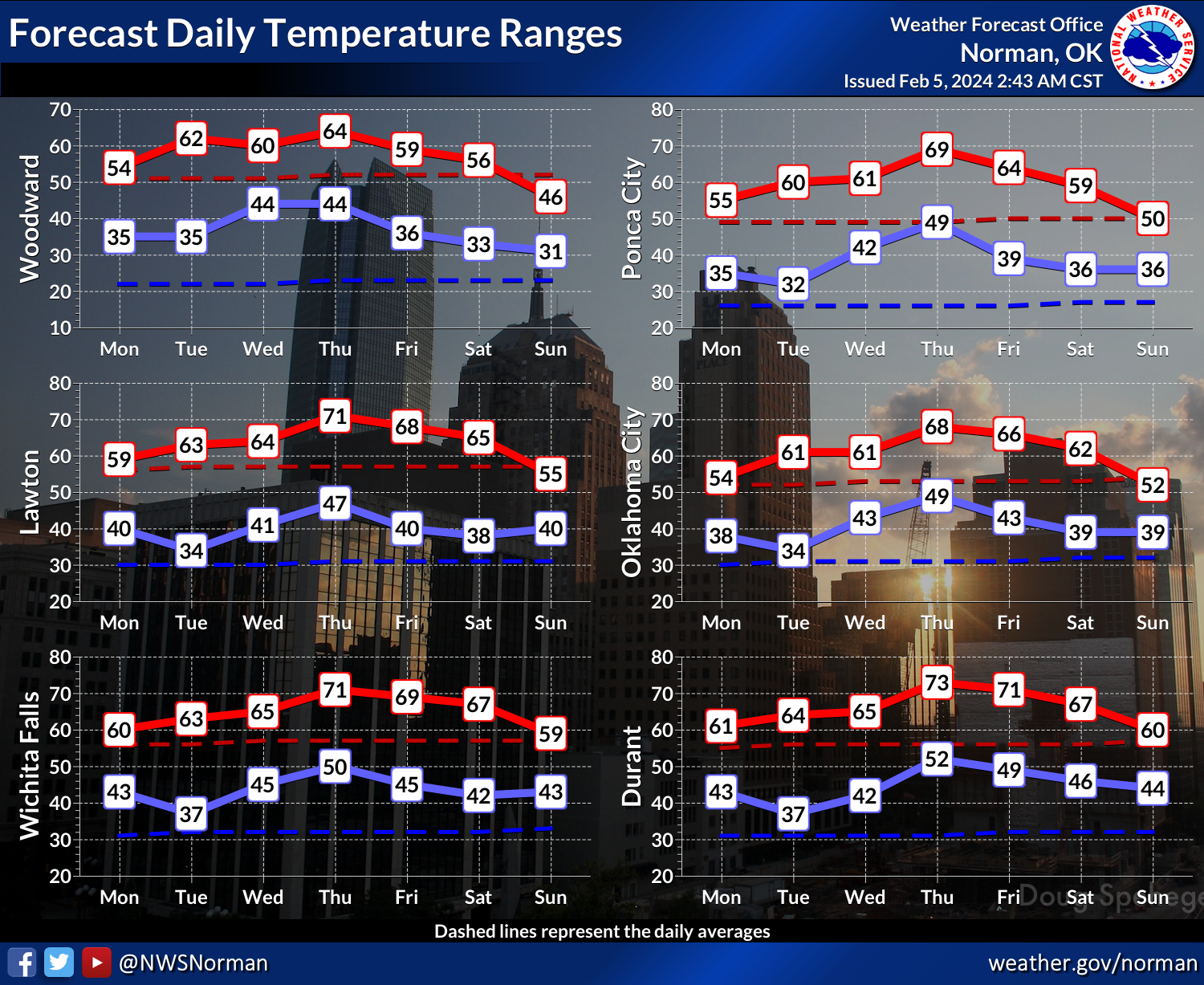
Rain chances as we get into Wednesday/Thursday, and again over the weekend. LOW
rain chances (and amounts) so far.
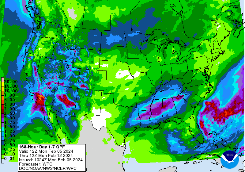
We'll keep watching those model runs. Remember, the forecast could change for
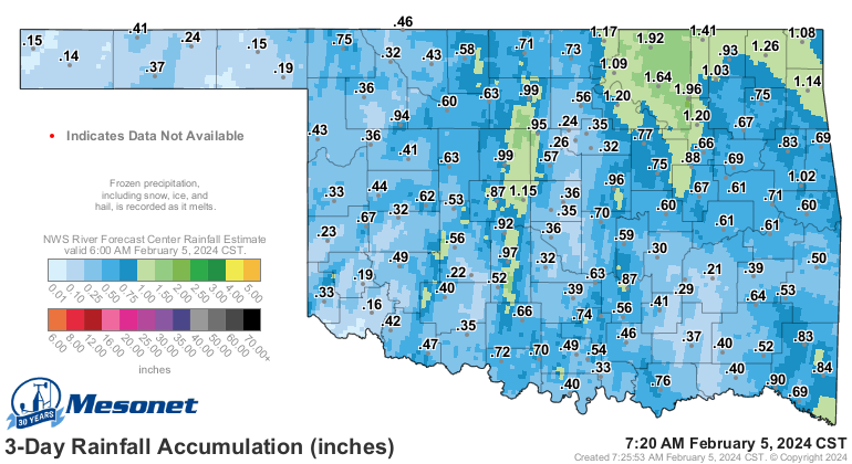
the better, but also the worse! And besides, those rainfall amounts we had
over the last 3 days are exciting, aren't they?
Gary McManus
State Climatologist
Oklahoma Mesonet
Oklahoma Climatological Survey
gmcmanus@mesonet.org
February 5 in Mesonet History
| Record | Value | Station | Year |
|---|---|---|---|
| Maximum Temperature | 84°F | GOOD | 2025 |
| Minimum Temperature | -2°F | BEAV | 2014 |
| Maximum Rainfall | 1.40″ | MTHE | 2008 |
Mesonet records begin in 1994.
Search by Date
If you're a bit off, don't worry, because just like horseshoes, “almost” counts on the Ticker website!