Ticker for May 4, 2022
MESONET TICKER ... MESONET TICKER ... MESONET TICKER ... MESONET TICKER ...
May 4, 2022 May 4, 2022 May 4, 2022 May 4, 2022
Do what to a spark plug?
Yep, it's one of THOSE days in Oklahoma. You know, when you wake up in the morning
and go outside and then you remember after all the tornadoes on Monday that they
said you'd have to do this again on Wednesday, and THEN you notice that it's
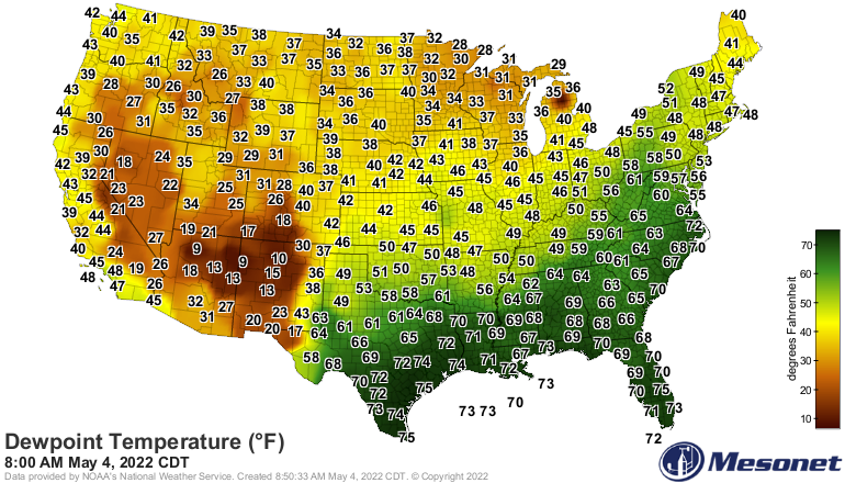
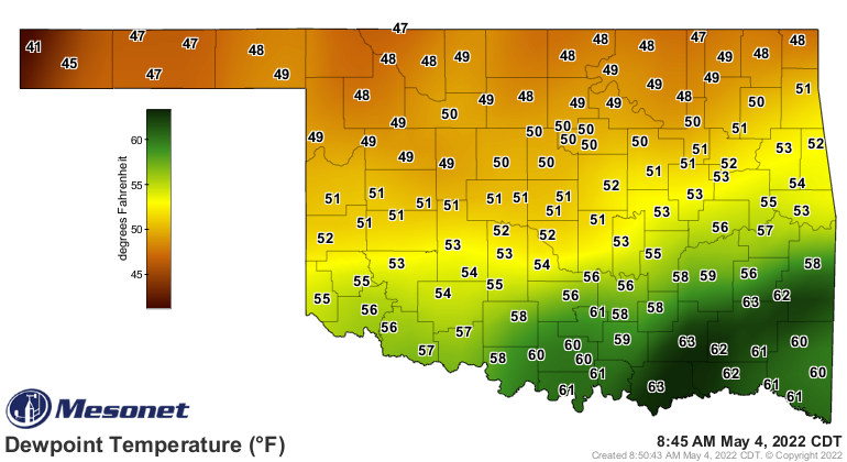
getting soupy which in May means trouble.
Or if'n you're like me (get help...doesn't matter what kind, just get help), you
walk outside and get struck by lightning.
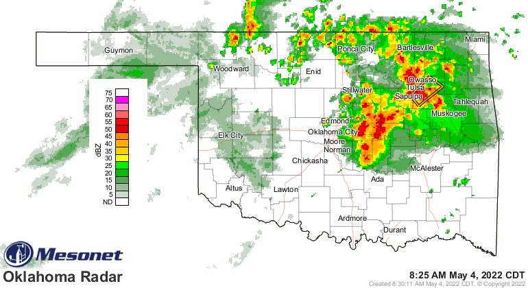
I know, right? Storms are happening NOW! These aren't the high-end severe storms
that are possible later this afternoon and evening, but they can still put knots
on your noggin faster'n you can rub 'em if you ain't careful.
Okay, here's the deal on today. The models are all over the place (and we all
know just how painful that can be), so we're gonna have to be fluid today,
especially considering we're using computer models to forecast a fluid (i.e.,
the atmosphere) that doesn't often like to be modeled. The basic setup is a
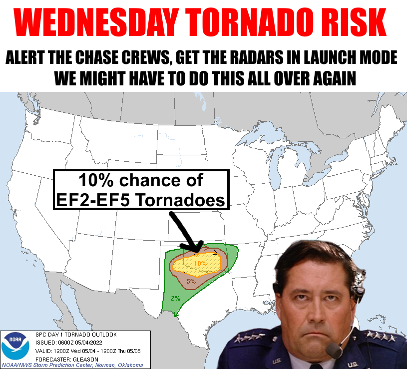
warm front advancing north later today will set the stage for the area of
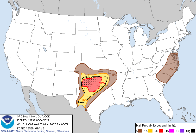
greatest instability. To the north of the warm front, some severe storms are
possible with hail being the primary threat. To the south of that warm front,
in what is called the...ahem, warm zone, the greatest threat of tornadoes
presents itself, especially along the dryline/warm front intersection.

This is going to be pretty tricky today so as I said earlier, you're gonna have
to be very flexible today, especially if you need to bend out of the way of
flying projectiles. The location of where that warm front sets up will be the
key. To the north...possible bad storms. To the south...possible REALLY bad
storms. The warm front is currently down along the Red River just starting to
enter SE OK. It's being impeded by the convection this morning with all that
cool air being brought down by the rain and pushed outward along the surface.
The thought is that warm front will eventually surge forward as that cold air
mixes out and bring more of that juicy air up our way, maybe resting along the
I40 corridor this afternoon. Maybe. Or maybe farther south. Ongoing convection
this morning could keep instability down as well.
Just gonna have to keep a close eye on the weather throughout the afternoon,
as cautioned by SPC:
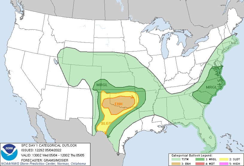
"A wide variety of potential forecast outcomes are evident today with
unusually large spread among guidance at this stage of the outlook
cycle. As such, the middle categorical risk is probably the most
statistically appropriate forecast, even though potential does exist
for intense supercells capable of producing very large hail and
strong tornadoes."
Heck, by the time I've finished writing this (I heard that!) things might have
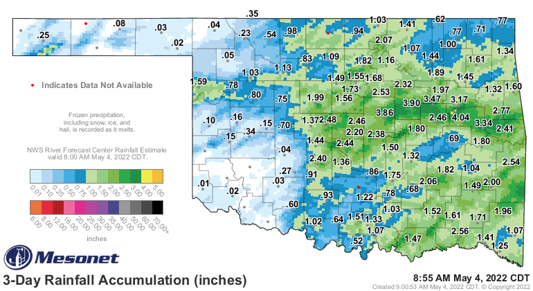
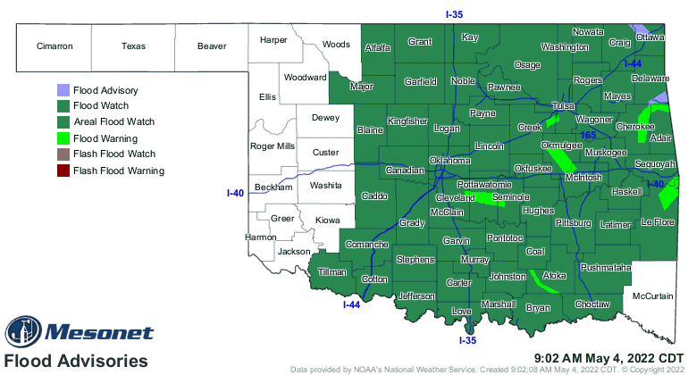
changed already. The risk for flooding will continue throughout the day and
into tomorrow morning with the ground highly saturated already. Areas with
training thunderstorms (think Thomas the Train, but chaotic evil) will have
the highest risk of flash flooding. There are already a host of flood warnings
as we type and read.
After this mess, we start to dry up and enter summer mode for the weekend.
Our next storm chances? Let's worry about that later. We have enough to worry
about today.
THANKS A LOT WARM FRONT!
Gary McManus
State Climatologist
Oklahoma Mesonet
Oklahoma Climatological Survey
gmcmanus@mesonet.org
May 4 in Mesonet History
| Record | Value | Station | Year |
|---|---|---|---|
| Maximum Temperature | 106°F | ALTU | 2020 |
| Minimum Temperature | 26°F | KENT | 2013 |
| Maximum Rainfall | 5.55 inches | VINI | 1999 |
Mesonet records begin in 1994.
Search by Date
If you're a bit off, don't worry, because just like horseshoes, “almost” counts on the Ticker website!