Ticker for March 8, 2021
MESONET TICKER ... MESONET TICKER ... MESONET TICKER ... MESONET TICKER ...
March 8, 2021 March 8, 2021 March 8, 2021 March 8, 2021
Spring Broke?
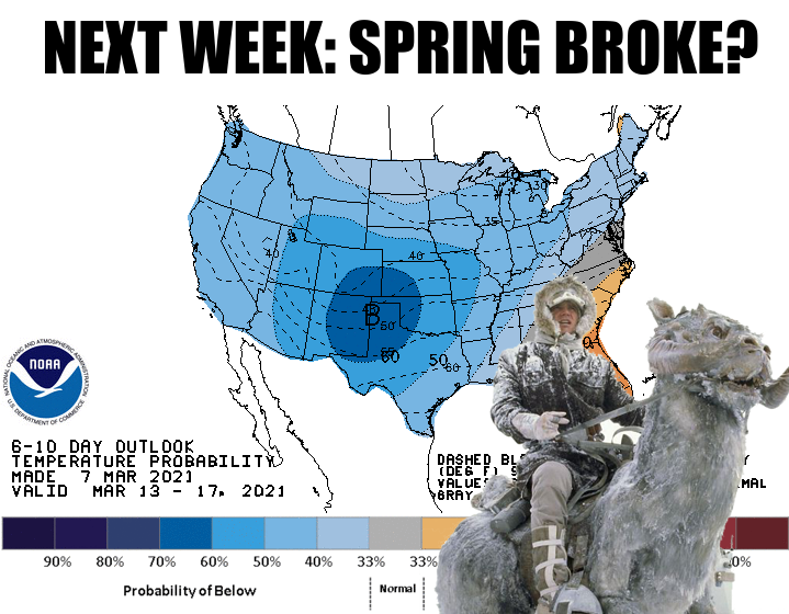
No, don't go slicing into your Tauntauns just yet (and we all know just how
painful that can be). The visions of apocalyptic snows for next week aren't
looking too likely. Come to think of it, ANY snow in March is apocalyptic to me,
but so are temperatures in the 20s and 30s (a possibility). It's something of a
spring break tradition, especially for those of us that tend to stay in the area
for the traditional downtime. Everybody remembers the year(s) that it snowed on
spring break, especially that one year when there were tornadoes and THEN snow.
Remember that mid to late March in Oklahoma isn't "supposed to" be in the 70s
and 80s, although it happens. Normal highs and lows for next week are somewhere
in the low to mid 60s and low to mid 40s. If you think of how we get to those
normals, then obviously at times we will see those 70s and 80s, but that also
means some 30s and 40s (for highs).
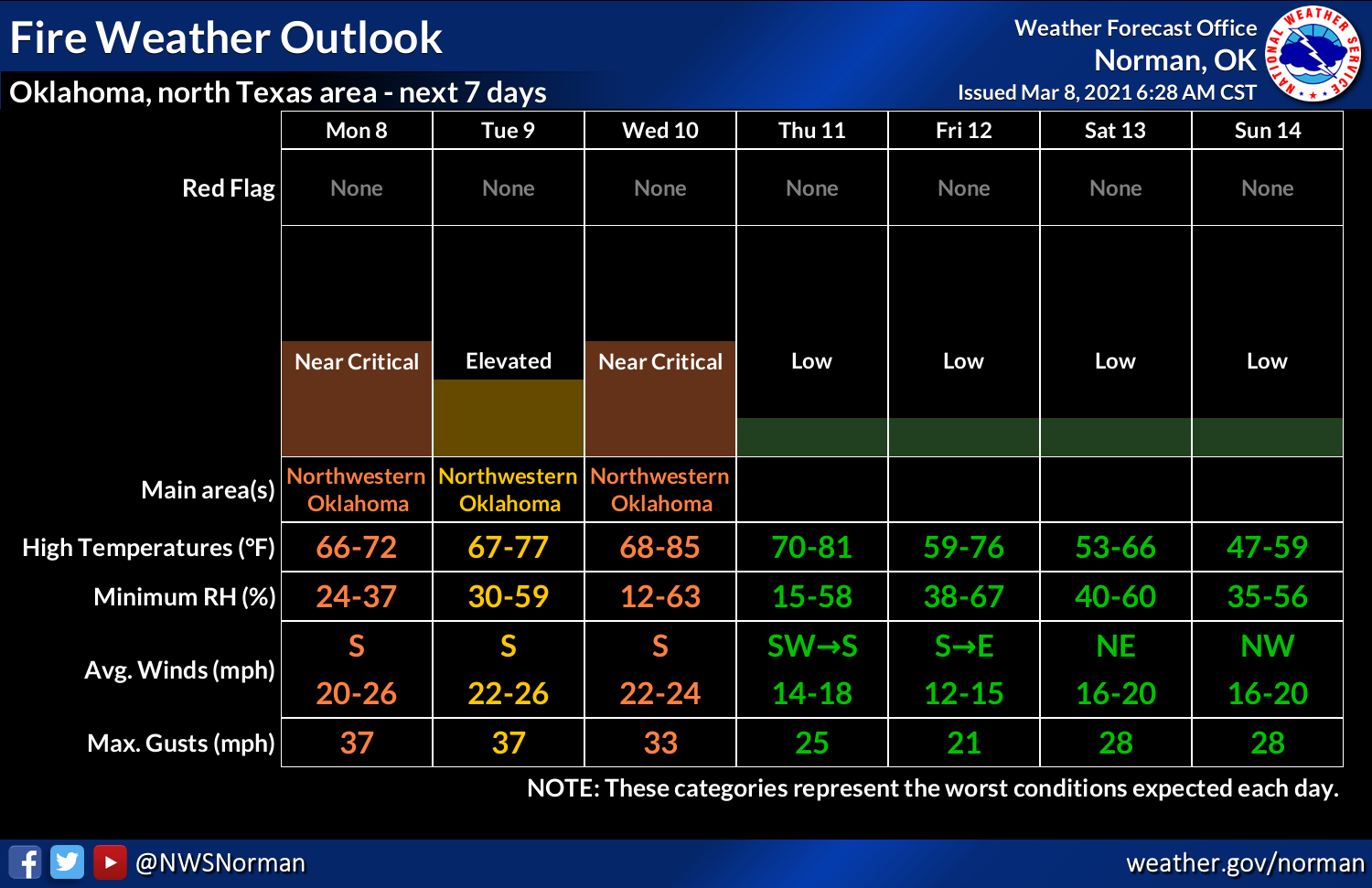
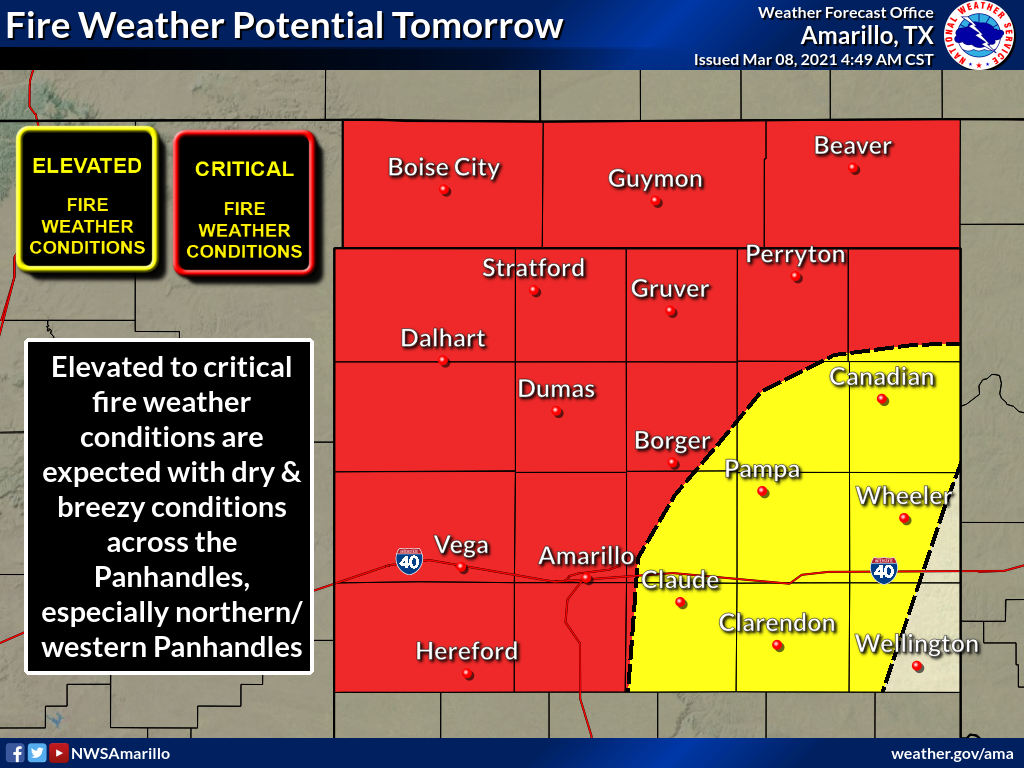
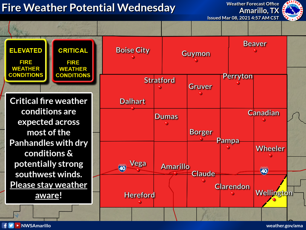
Before we ruin your spring break, however, we have to deal with THIS week. There
will be a cold front approaching the state sometime Thursday, and that means
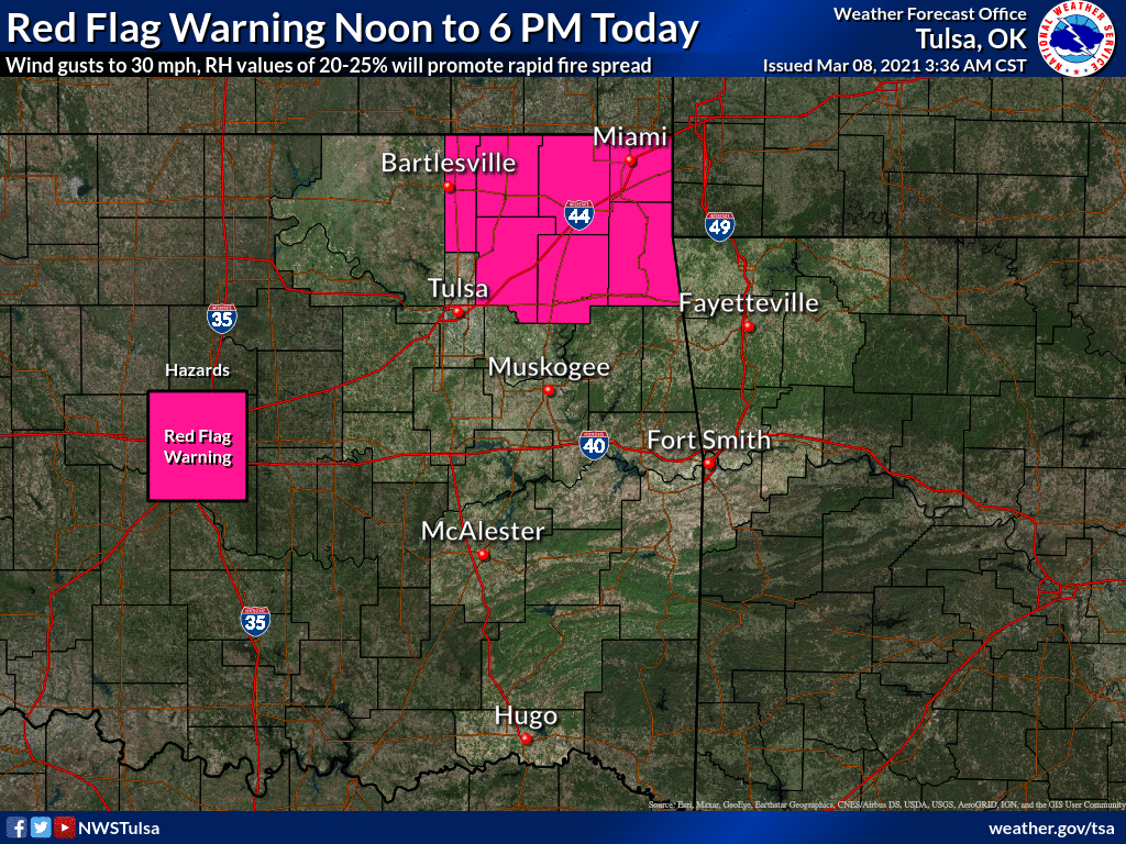
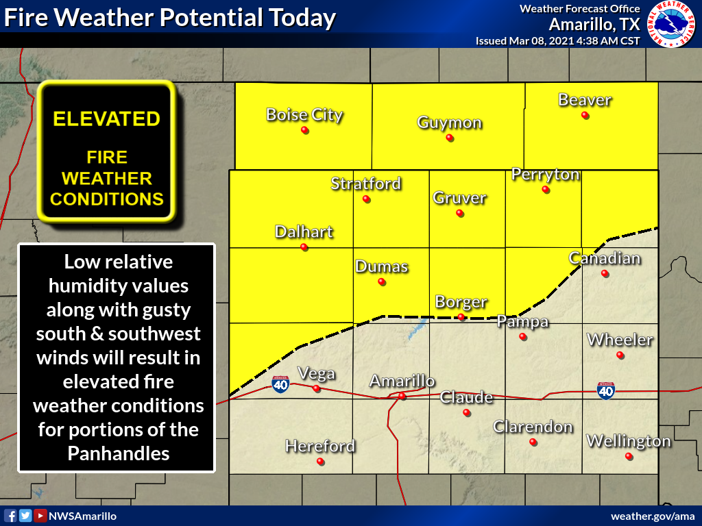
lots of wind and a warmup as that gets closer. It's early March, and that
generally means fire danger. The next couple of days will see fire danger spike,
before peaking on Wednesday.
It would appear there will be some chances for low-end severe weather Thursday
across the north as that front sags in, then on Friday down in the southeast.
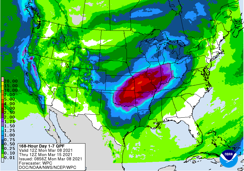
When that front stalls out, it will bring a focus for more rain over the late
weekend into early next week as the main upper-level system moves across the
area. That's when we could actually see some rain-snow mix possibly in the far
northern sections of the state. Of course, all of that could change. This time
of year, early spring, it could mean just about anything. It does look like we
are in for some heavy rains late in the week, however.
It shouldn't be all bad. March is a time of rapid weather transitions, from
warm to cold in a hurry, but that also means cold to warm. So enjoy the next
few days of warmth and sunshine, even with the wind. It will be cold and calm
in no time at all.
Gary McManus
State Climatologist
Oklahoma Mesonet
Oklahoma Climatological Survey
(405) 325-2253
gmcmanus@mesonet.org
March 8 in Mesonet History
| Record | Value | Station | Year |
|---|---|---|---|
| Maximum Temperature | 84°F | HOLL | 2002 |
| Minimum Temperature | 7°F | SEIL | 2008 |
| Maximum Rainfall | 3.01″ | BESS | 2016 |
Mesonet records begin in 1994.
Search by Date
If you're a bit off, don't worry, because just like horseshoes, “almost” counts on the Ticker website!