Ticker for January 13, 2020
MESONET TICKER ... MESONET TICKER ... MESONET TICKER ... MESONET TICKER ...
January 13, 2020 January 13, 2020 January 13, 2020 January 13, 2020
Breadtastrophe!
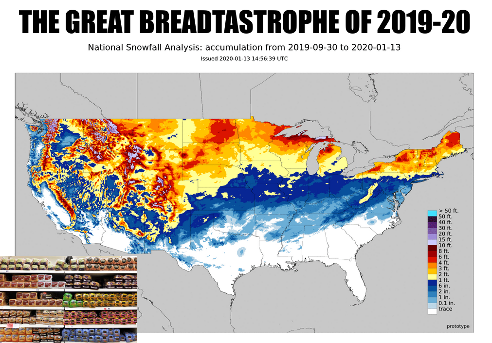
Now how fair is it that north Texas has more snow than much of Oklahoma? Oh well,
the forecast models giveth, Mother Nature taketh away. Maybe next time, kid. And
by "kid," I mean just about all of us. A few areas did get some actual snow,
however, from 2-3 inches in the NE and isolated locations elsewhere. Most folks
saw a big old goose egg, or maybe up to an inch. Frankly, the goose egg is worth
more. Now we're back into a warm pattern, at least for this time of year, with
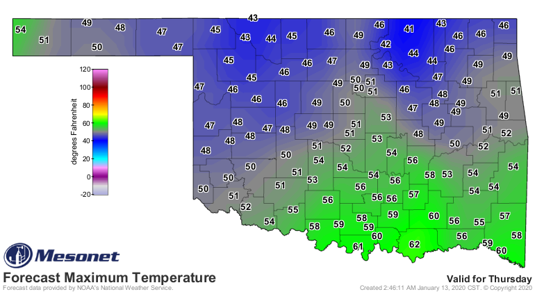
another front on the way for Thursday and Friday. Doesn't look like there will
be enough cold air for any wintry excitement this time around, but lots of cold
rain is in the offing. MAYBE just a tad of something frozen across the northern
half of the state Thursday night.
Again, still iffy this far out.

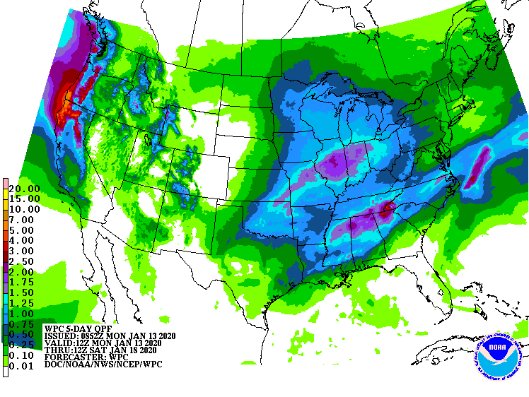
I don't believe we'll see that OTHER type of excitement like last weekend either,
so keep your fingers crossed for a lack of tornado warnings. That's a bit much
for January, no? Until we get closer, I guess we just enjoy the mild weather
and await our new arrival on Thursday.

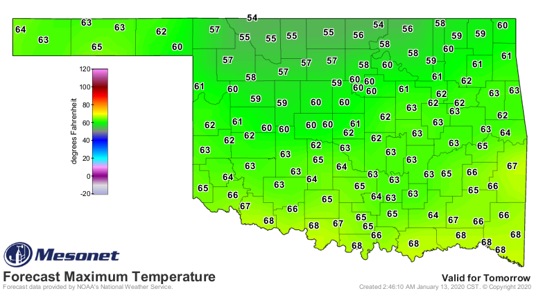
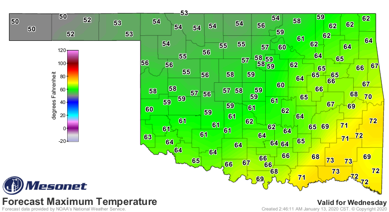
Maybe some of that bread will still be good by then. When in doubt...French
Toast!
Gary McManus
State Climatologist
Oklahoma Mesonet
Oklahoma Climatological Survey
(405) 325-2253
gmcmanus@mesonet.org
January 13 in Mesonet History
| Record | Value | Station | Year |
|---|---|---|---|
| Maximum Temperature | 76°F | WAUR | 2022 |
| Minimum Temperature | -6°F | KENT | 2024 |
| Maximum Rainfall | 3.48″ | WIST | 1995 |
Mesonet records begin in 1994.
Search by Date
If you're a bit off, don't worry, because just like horseshoes, “almost” counts on the Ticker website!