Ticker for August 7, 2018
MESONET TICKER ... MESONET TICKER ... MESONET TICKER ... MESONET TICKER ...
August 7, 2018 August 7, 2018 August 7, 2018 August 7, 2018
Love -- August Style
All is going according to plan. Undermine Oklahoma City as the capital of
Oklahoma, get Buffalo installed as the new capital. Then, make cowchips the new
currency for...
WHOOPS, wrong forum. Ahem. Forgot all that (my delete key has been deleted). All
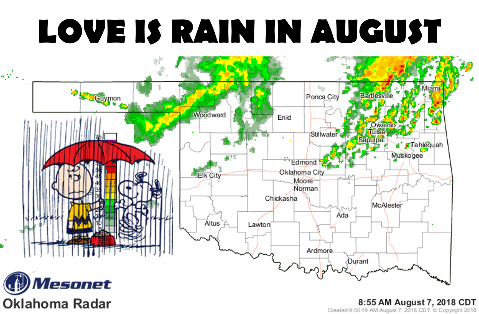
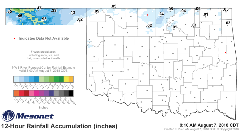
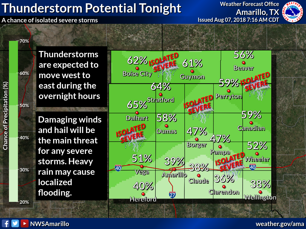
is going according to plan, AND IT HAS STARTED RAINING. And some really nice
totals thus far across the NW and Panhandle.
Noice!
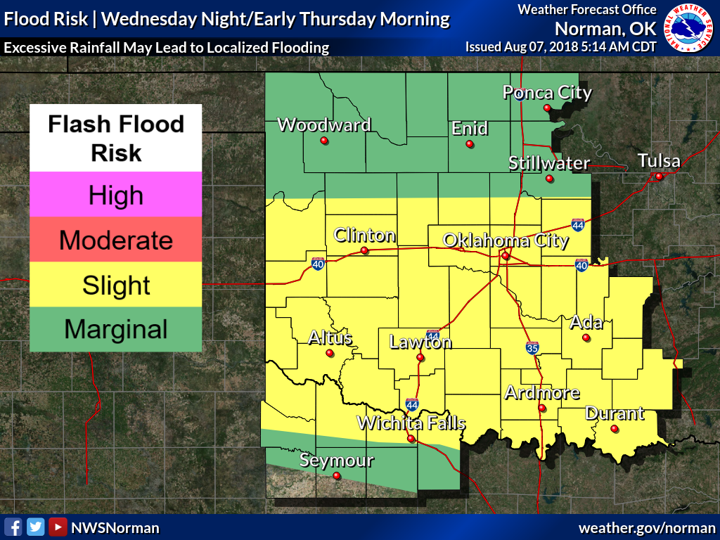
And the forecast rains are still on track to be somewhat significant along and
south of I-40. But, there will be a statewide rain chance over the next 3 days.
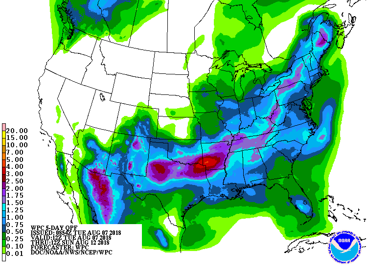

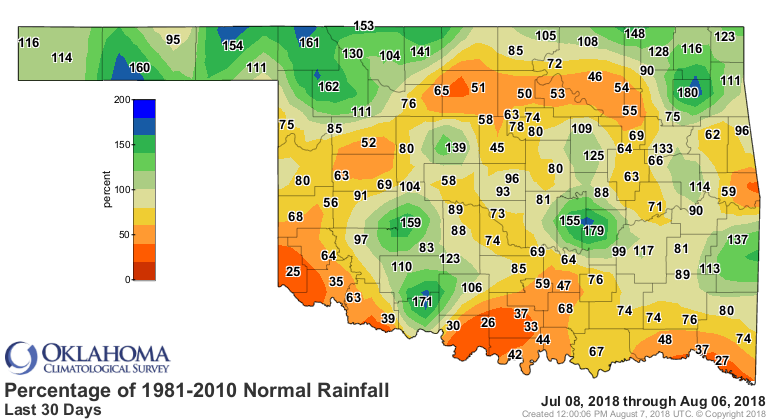
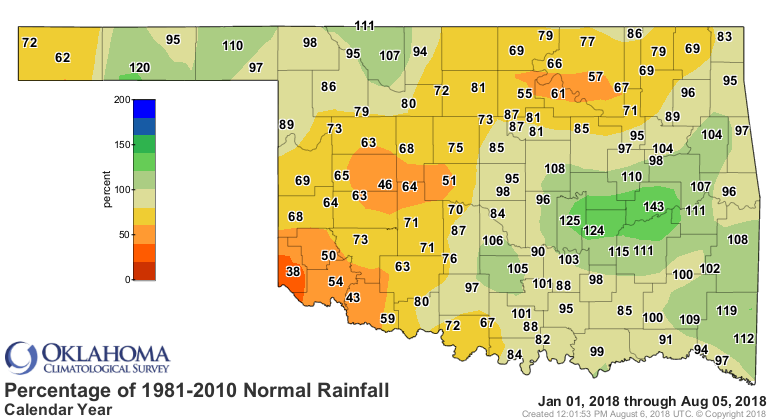
Mostly everybody in the state needs a good rain (or two, or three) given the
deficts...both long- and short-term.
We all know that August can jump up and bite you with some heat and drought
pretty quickly, so whatever we can get this week will do wonders for the rest
of the month. It sure doesn't look to dangerous as we head further into August.
Could we be headed for another repeat of last year's August, which ended as the
9th coolest and 2nd wettest on record? I wouldn't say we're going to hit those
extremes just yet. BUT, another wet, cool August?
LOVE!
Gary McManus
State Climatologist
Oklahoma Mesonet
Oklahoma Climatological Survey
(405) 325-2253
gmcmanus@mesonet.org
August 7 in Mesonet History
| Record | Value | Station | Year |
|---|---|---|---|
| Maximum Temperature | 111°F | MANG | 2003 |
| Minimum Temperature | 52°F | KENT | 1997 |
| Maximum Rainfall | 4.28 inches | WEBR | 2020 |
Mesonet records begin in 1994.
Search by Date
If you're a bit off, don't worry, because just like horseshoes, “almost” counts on the Ticker website!