Ticker for May 30, 2018
MESONET TICKER ... MESONET TICKER ... MESONET TICKER ... MESONET TICKER ...
May 30, 2018 May 30, 2018 May 30, 2018 May 30, 2018
Spring's last gasp?

Somewhere in that supercell storm, taken by the Cheyenne Mesonet site's landowner
looking to the southwest, is hail to the size of baseballs, winds up to 80 mph,
and even a possible tornado. Smothered by a heaping helping of summer, spring
decided to give us a show right at the end, and it looks like we get to do it
all over again today. That's not to say there won't be storms of varying severity
going forward. There will. But in the sweet-yet-sour spot of deep May, when we've
seen so many horrible severe weather outbreaks...that time is running out.
Good!
We did get some good rain, but also the aforementioned bad stuff, such as a
tornado or two, tons of big hail, and 80+mph winds.
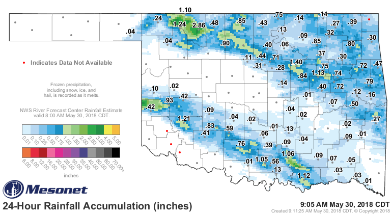
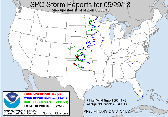
Now we deal with today's scenario, where we will probably see more storms form
later this evening and march to the east. Looks like wind is the big risk
today, but that big hail and a tornado or two can't be ruled out.
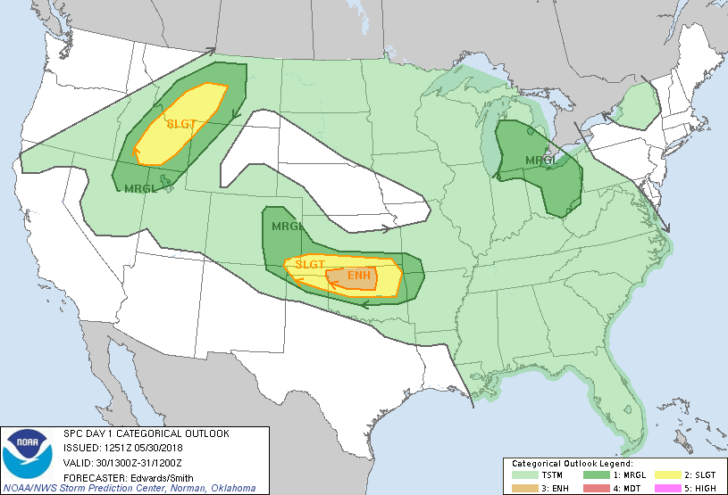
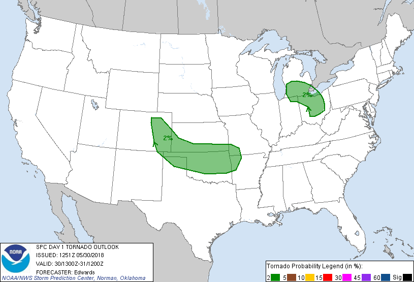
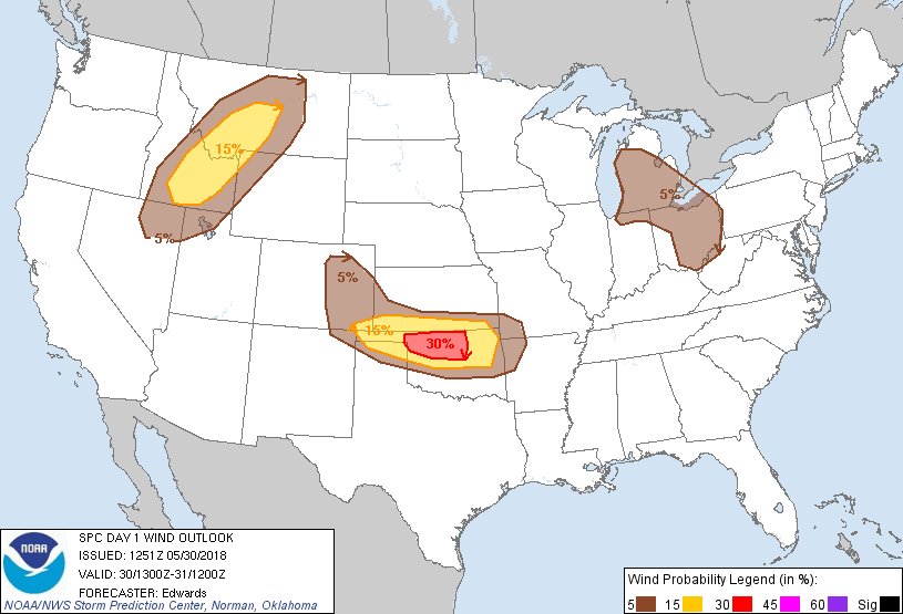

Despite all that, I can't seem to divert my eyes from the forecast highs on
Friday. Even though it will be June 1, the beginning of climatological summer,
I see it as a continuation of the summer we started in early May...on steroids.
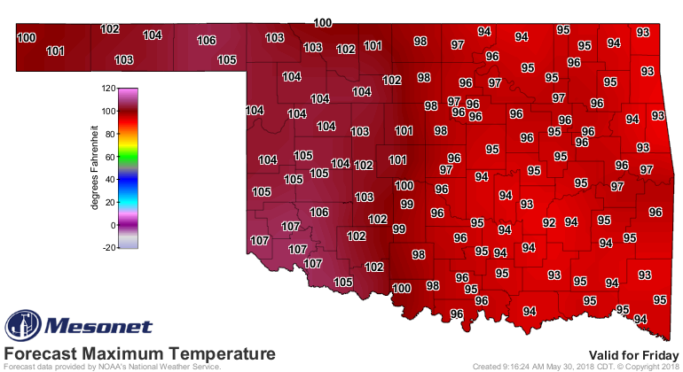
While I don't like to go out on a limb (I'm from the Panhandle...the only
good limb is a dead limb, lest it obstruct a good 360-degree view of the
horizon), a possible preview for the rest of the summer?
EGADS!
Gary McManus
State Climatologist
Oklahoma Mesonet
Oklahoma Climatological Survey
gmcmanus@mesonet.org
(405) 325-2253
May 30 in Mesonet History
| Record | Value | Station | Year |
|---|---|---|---|
| Maximum Temperature | 107°F | ALTU | 2003 |
| Minimum Temperature | 39°F | EVAX | 2019 |
| Maximum Rainfall | 4.47″ | EUFA | 2001 |
Mesonet records begin in 1994.
Search by Date
If you're a bit off, don't worry, because just like horseshoes, “almost” counts on the Ticker website!