Ticker for May 11, 2018
MESONET TICKER ... MESONET TICKER ... MESONET TICKER ... MESONET TICKER ...
May 11, 2018       May 11, 2018       May 11, 2018       May 11, 2018


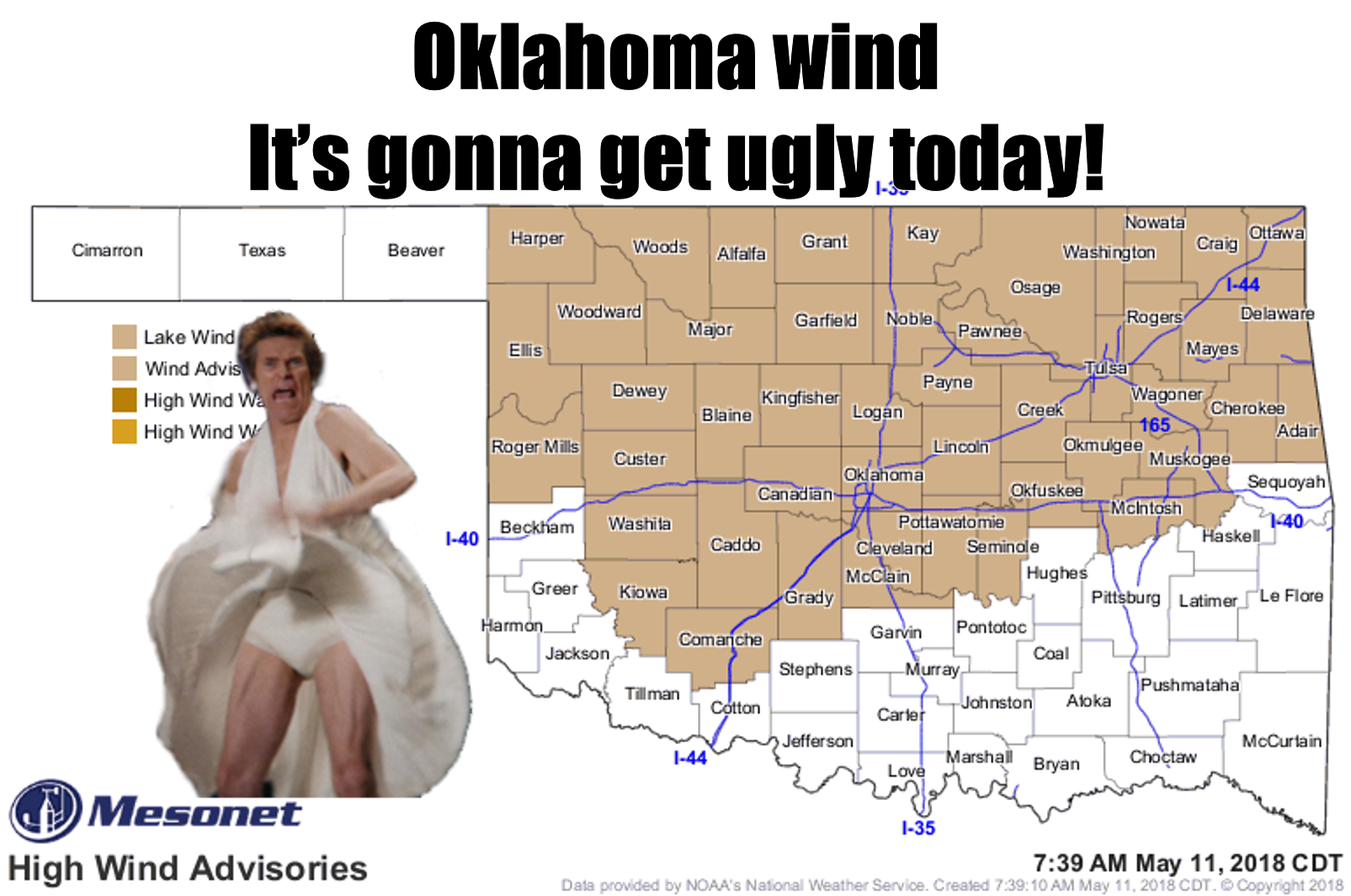
MY EYES!


Just a quick Tick today, to celebrate the maelstrom outside. I don't think a
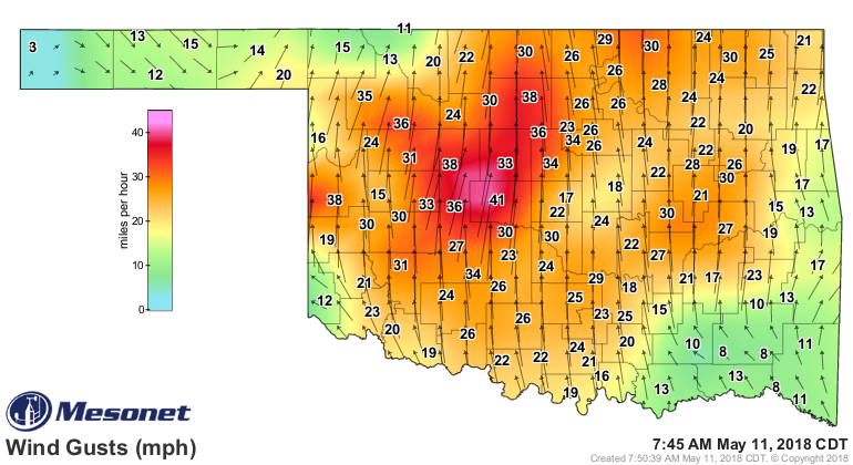
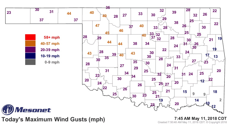
Snickers will fix this one. Winds are already howling out of the south at 30-40
mph, and upwards from there. Once the sun really gets blazing and mixing some
of those higher velocity winds down from above the surface, it's gonna be just
a tad more breezy.


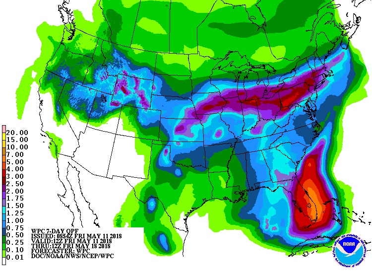
The winds are in response to a storm system laying out west. A dryline will be
located somewhere across the Panhandle or far western Oklahoma over the next
several days, giving the opportunity for a few storms every now and again. Some
could be severe of course, but not a major severe weather threat. But with the
storms comes rain, and that's needed something fierce. And in the right spot, too.


This needs to verify or it's gonna get even uglier.

Gary McManus
State Climatologist
Oklahoma Mesonet
Oklahoma Climatological Survey
(405) 325-2253
May 11 in Mesonet History
| Record | Value | Station | Year |
|---|---|---|---|
| Maximum Temperature | 106°F | ALTU | 2000 |
| Minimum Temperature | 30°F | BOIS | 2008 |
| Maximum Rainfall | 5.87 inches | HUGO | 1999 |
Mesonet records begin in 1994.
Search by Date
If you're a bit off, don't worry, because just like horseshoes, “almost” counts on the Ticker website!