Ticker for July 10, 2017
MESONET TICKER ... MESONET TICKER ... MESONET TICKER ... MESONET TICKER ...
July 10, 2017 July 10, 2017 July 10, 2017 July 10, 2017
That was it?
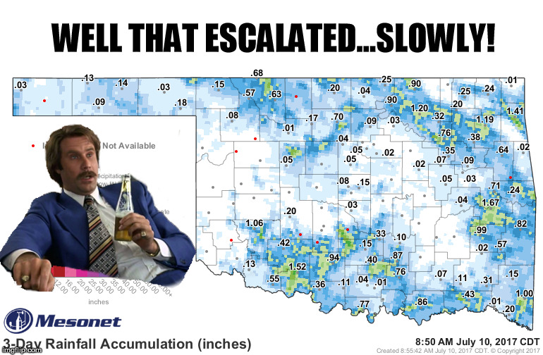
Rancor indeed! Look, it's not like a statewide drenching was forecast, but yes,
I expected more. It's the same thing I said about my hair, too. Life brings
disappointment, and often none more so than Mother Nature. So that's the rain
we had to try and wipe out what was left of the flash drought. Remember said
flash drought? I'll show you the entire Southern Plains region so you can get a
sense of the impending danger spreading from the west.
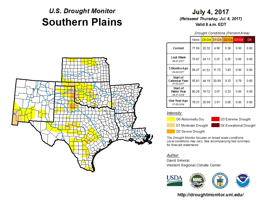
That severe drought across the border in the Texas Panhandle is quite concerning.
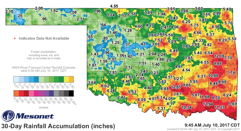
Luckily, Harmon County has received significant rains in the last 30 days, but as
you go north from there the totals drop off considerably.
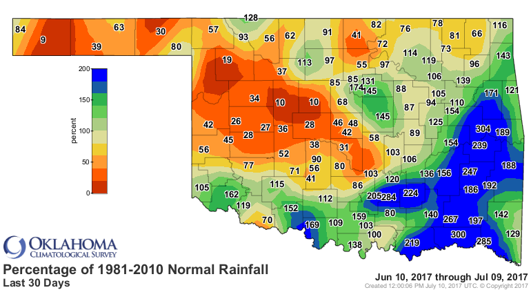
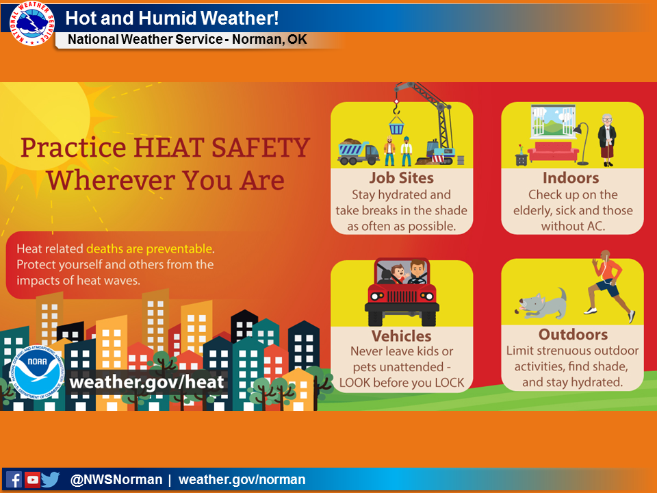
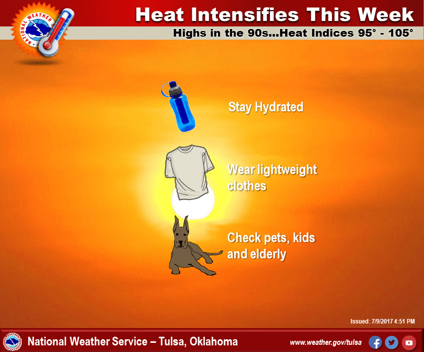
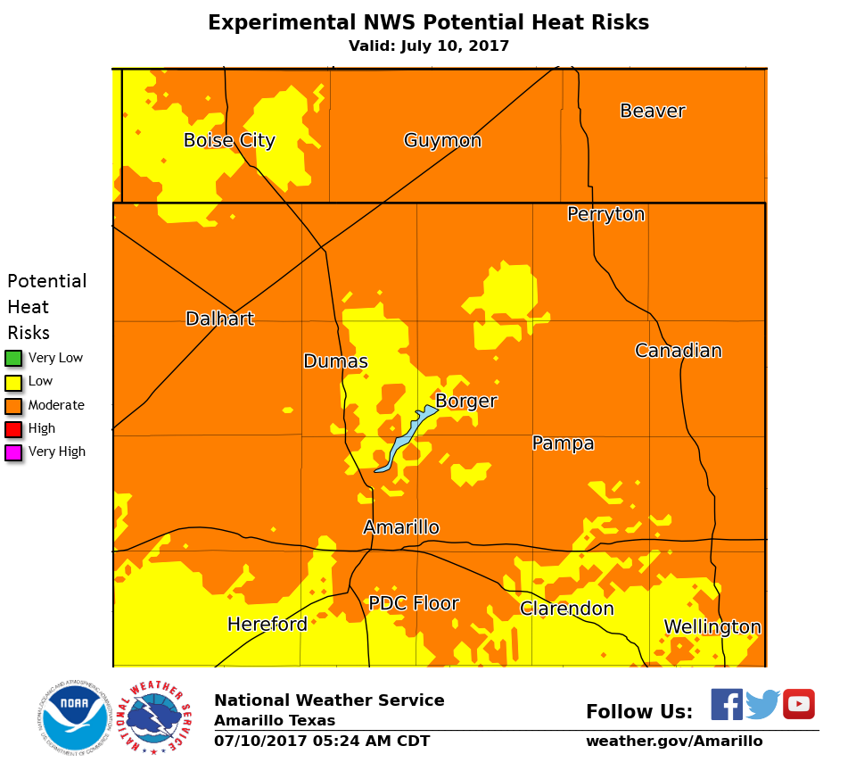
The trouble is we have apparently reached the true dog days of summer. The
doldrums if you will. You know when these types of images start appearing from
your local NWS offices, summer HAS escalated.

Fun fun fun! Oh, and those rain chances? The heat dome signature has started
to appear on the rainfall forecast maps. Look at the increased precip totals
traveling in a horseshoe shape over the top of Oklahoma.
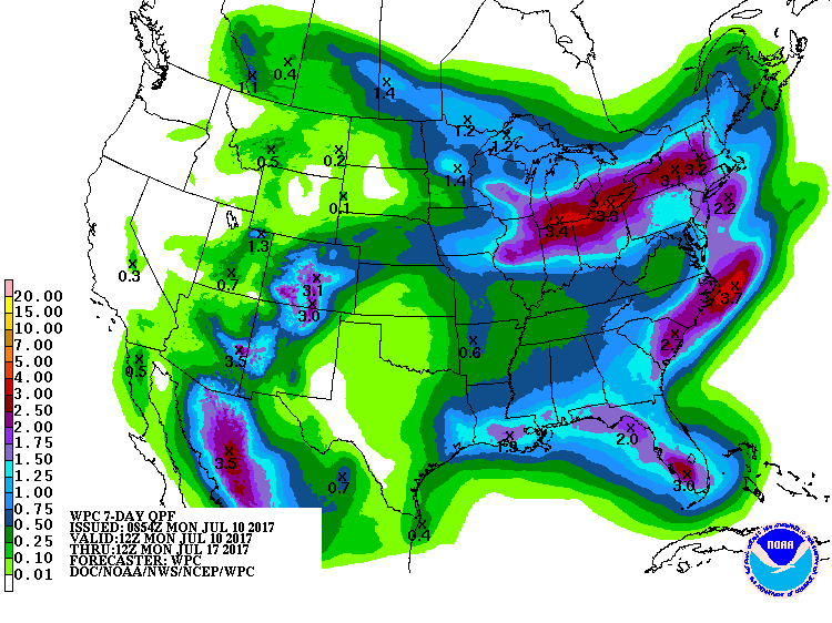
There is some sign that the heat dome will shift away this weekend, but summer
does what summer does (and a lot of times that ends up being persistence!).
You stay classy, Mother Nature.
Gary McManus
State Climatologist
Oklahoma Mesonet
Oklahoma Climatological Survey
(405) 325-2253
gmcmanus@mesonet.org
July 10 in Mesonet History
| Record | Value | Station | Year |
|---|---|---|---|
| Maximum Temperature | 114°F | FREE | 2009 |
| Minimum Temperature | 55°F | EVAX | 2024 |
| Maximum Rainfall | 4.44 inches | MINC | 1996 |
Mesonet records begin in 1994.
Search by Date
If you're a bit off, don't worry, because just like horseshoes, “almost” counts on the Ticker website!