Ticker for June 7, 2017
MESONET TICKER ... MESONET TICKER ... MESONET TICKER ... MESONET TICKER ...
June 7, 2017 June 7, 2017 June 7, 2017 June 7, 2017
Rain glorious rain
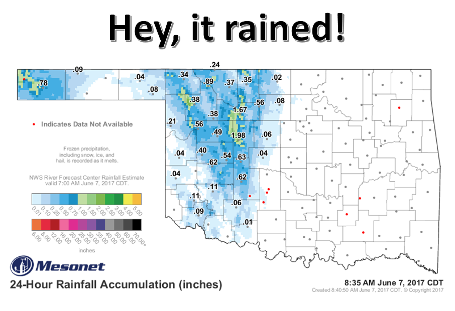
You might not know this if you live east of Highway 81, but it did rain last
night. Heck, a few locales got nearly 2 inches! I had no clue, of course, as I
was sitting on my couch watching some local gals throw a phosphorescent green orb
around (better watching one get hit than seeing icy ones fall form the sky...one
of the benefits of June over May). And it appears that isn't the only moisture
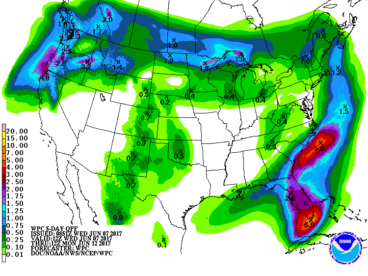
the state will see over the next few days. Another storm system is primed to hit
the state in the west today and again on Friday.
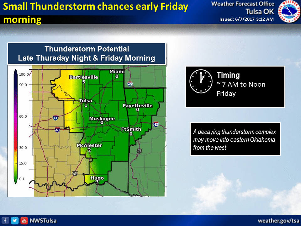

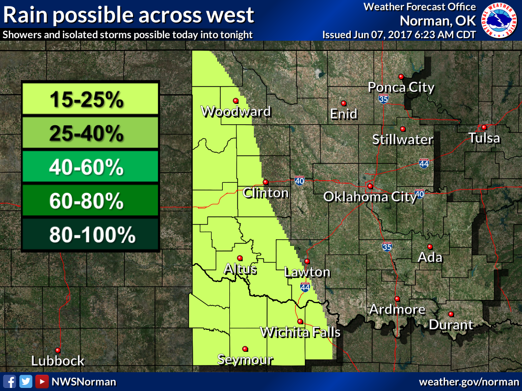
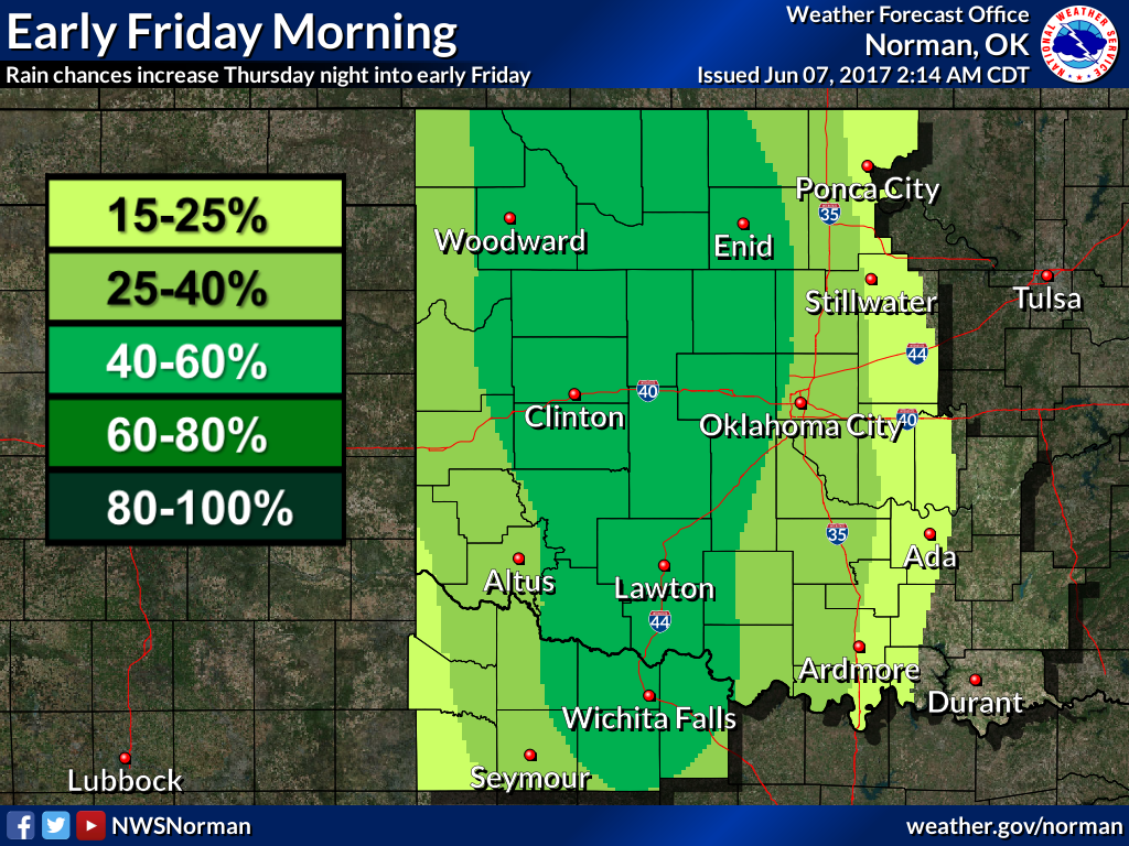
Unfortunately, we're not talking inches of rain here. More like a wetting,
some places more, some places less.
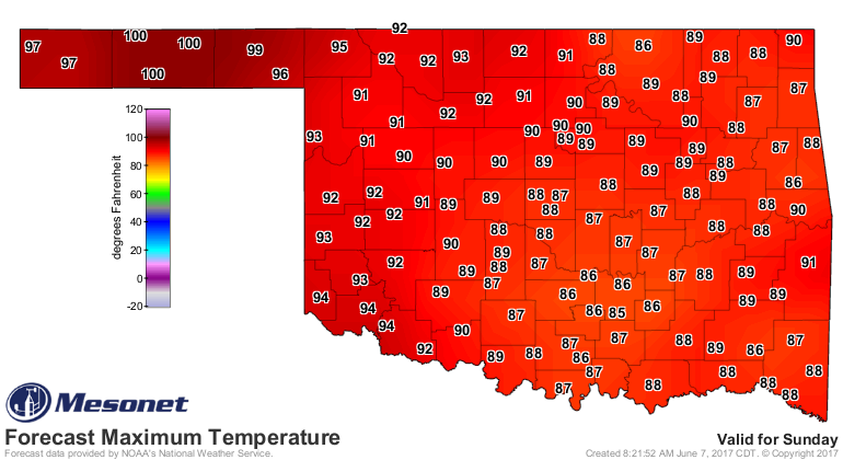
Following that, get ready for some heat! We'll start in the west on Saturday
and Sunday with some triple-digit flirtations and then spread it east a bit
later next week.
That's not exactly good. Not exactly bad either. I don't know what it is
exactly. Well, it is what it is. How's that? You won't get that kind of
precise language anywhere else (because those people would be out of a job).
I don't want to be the flash drought Chicken Little here, but things are
getting curiouser and curiouser. June, our wettest month for some folks, is
getting kind of disappointing.
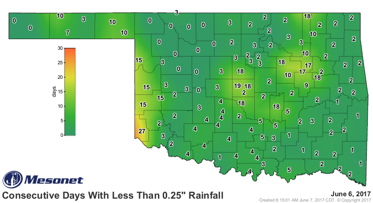
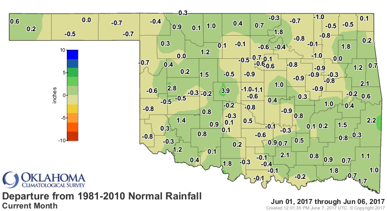
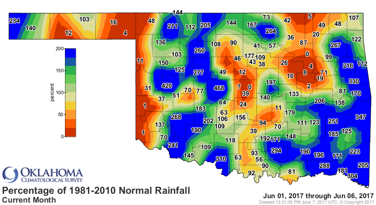
Need some rain. Send posthaste.
Gary McManus
State Climatologist
Oklahoma Mesonet
Oklahoma Climatological Survey
(405) 325-2253
gmcmanus@mesonet.org
June 7 in Mesonet History
| Record | Value | Station | Year |
|---|---|---|---|
| Maximum Temperature | 105°F | ALTU | 2011 |
| Minimum Temperature | 45°F | PRYO | 1998 |
| Maximum Rainfall | 4.27 inches | HINT | 2022 |
Mesonet records begin in 1994.
Search by Date
If you're a bit off, don't worry, because just like horseshoes, “almost” counts on the Ticker website!