Ticker for May 30, 2017
MESONET TICKER ... MESONET TICKER ... MESONET TICKER ... MESONET TICKER ...
May 30, 2017 May 30, 2017 May 30, 2017 May 30, 2017
Avast!
I know what some of you are thinking. SHAME ON YOU. As for the rest of you folks,
I'll call you the "normal" people, you're probably wondering if we've launched
full into summer already after the steamy weather to end last week. I mean,
come on, seeing Burneyville hit a heat index of 110 degrees on Saturday had to
give you visions of the summer of 2011 (or as we call it, the April through
October from hell) dancing through your head.
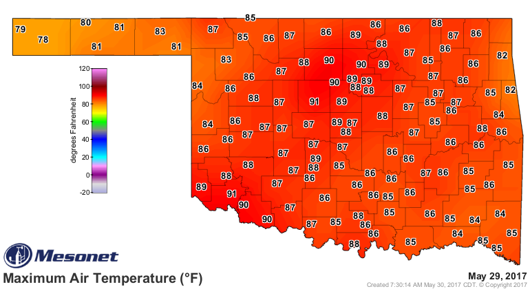
NOT SO FAST MY FRIENDS! After a bumpy night with lots of angry red warning lines
from the NWS (tornado warnings to the cave dwellers), the last couple of days
ended up quite nice, if not delightful. Light winds, crystal blue skies and
temperatures in the 80s (a few 70s on Saturday, a few 90s yesterday) made for
great weather for whatever you were doing. Just hot enough to escape into a
movie theater or taking a swim, and just cool enough to sit on the porch and
grill up a dog or two.
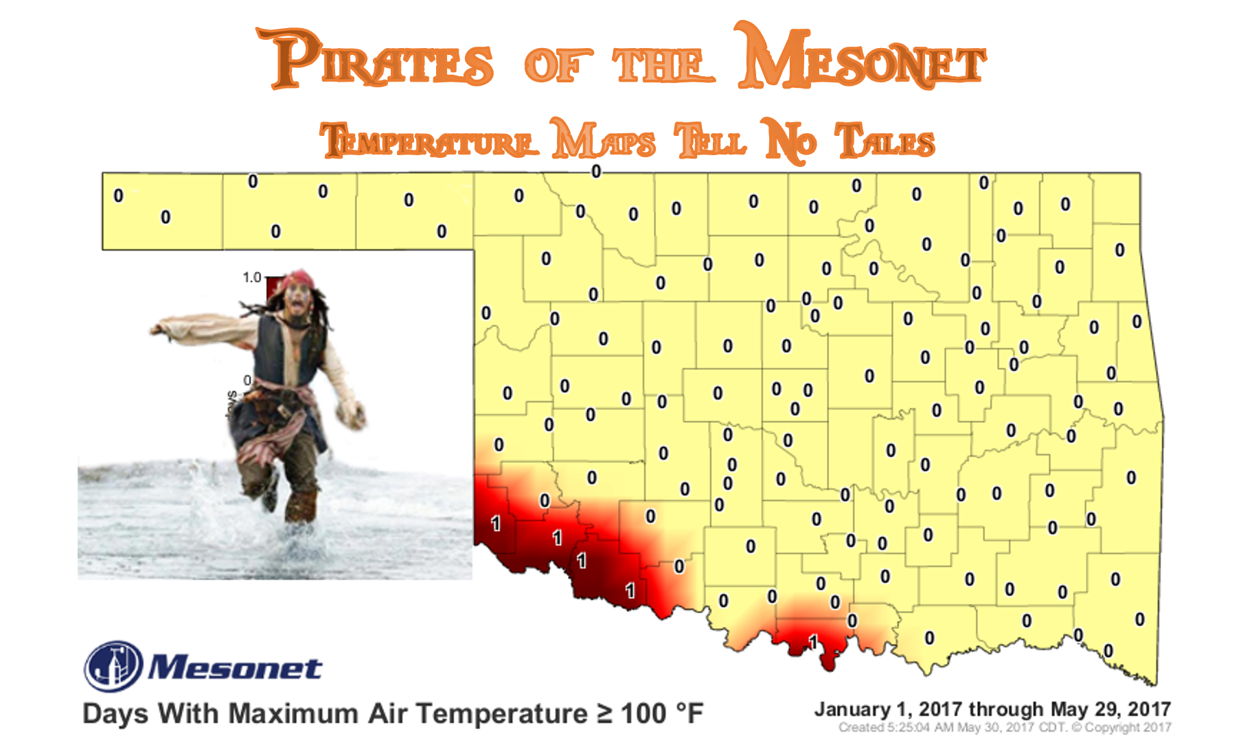
We hit a hunnert degrees 5 times at the end of last week, so why the image of
Jack Sparrow running through the surf? Well, as we've shown you many times
before, hitting June doesn't mean we're into the doldrums of summer. That first
half of June is actually quite wet for a good portion of the state, as our
climate starts to transform from the severe side of May into the more tropical
side of early summer.
Give it until about June 15th or so (give or take a week) and then we start
to see the transition into HOT and *not-as-wet*. Why all this discussion? Well,
we have another big storm system coming in at the end of this week, and probably
sometime early next week as well.
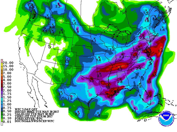
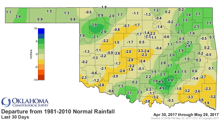
And a lot of that will fall on areas that have had a lot of moisture recently,
so flooding could/should be a concern.

And unless you're trying to cut wheat, some parts of the state really need a
rain.
So no need to run from summer just yet, at least without your galoshes on. Or
your goulashes, although they're more for eating than running.
ARGH!
Gary McManus
State Climatologist
Oklahoma Mesonet
Oklahoma Climatological Survey
(405) 325-2253
gmcmanus@mesonet.org
May 30 in Mesonet History
| Record | Value | Station | Year |
|---|---|---|---|
| Maximum Temperature | 107°F | ALTU | 2003 |
| Minimum Temperature | 39°F | EVAX | 2019 |
| Maximum Rainfall | 4.47 inches | EUFA | 2001 |
Mesonet records begin in 1994.
Search by Date
If you're a bit off, don't worry, because just like horseshoes, “almost” counts on the Ticker website!