Ticker for January 7, 2016
MESONET TICKER ... MESONET TICKER ... MESONET TICKER ... MESONET TICKER ...
January 7, 2016 January 7, 2016 January 7, 2016 January 7, 2016
Spot the surface low!
As I sit here in the National Weather Center basking in the "mostly cloudy but at
least some sun is out" view from my office, something wonderfully boring yet
boringly wonderful is happening on the Mesonet and radar. That area of low
pressure that brought us some decent rains and a bit of snow here and there over
the last 24 hours or so
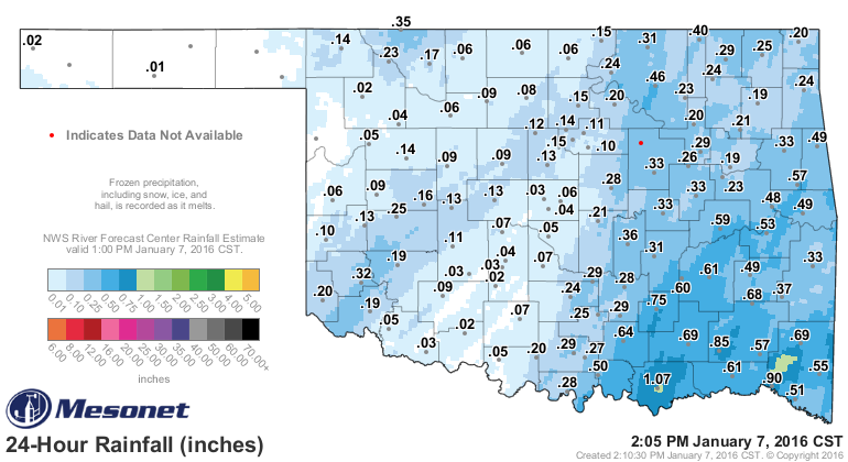
Is spinning from the Texas Panhandle through far northwestern Oklahoma, right
over the center of the Universe (aka Buffalo, Oklahoma). Again, you can see it
on the current radar map (in fact, a little bit of a doughnut hold has formed
over Harper County in the far NW, the center spinning point on the classic
comma-shaped system.
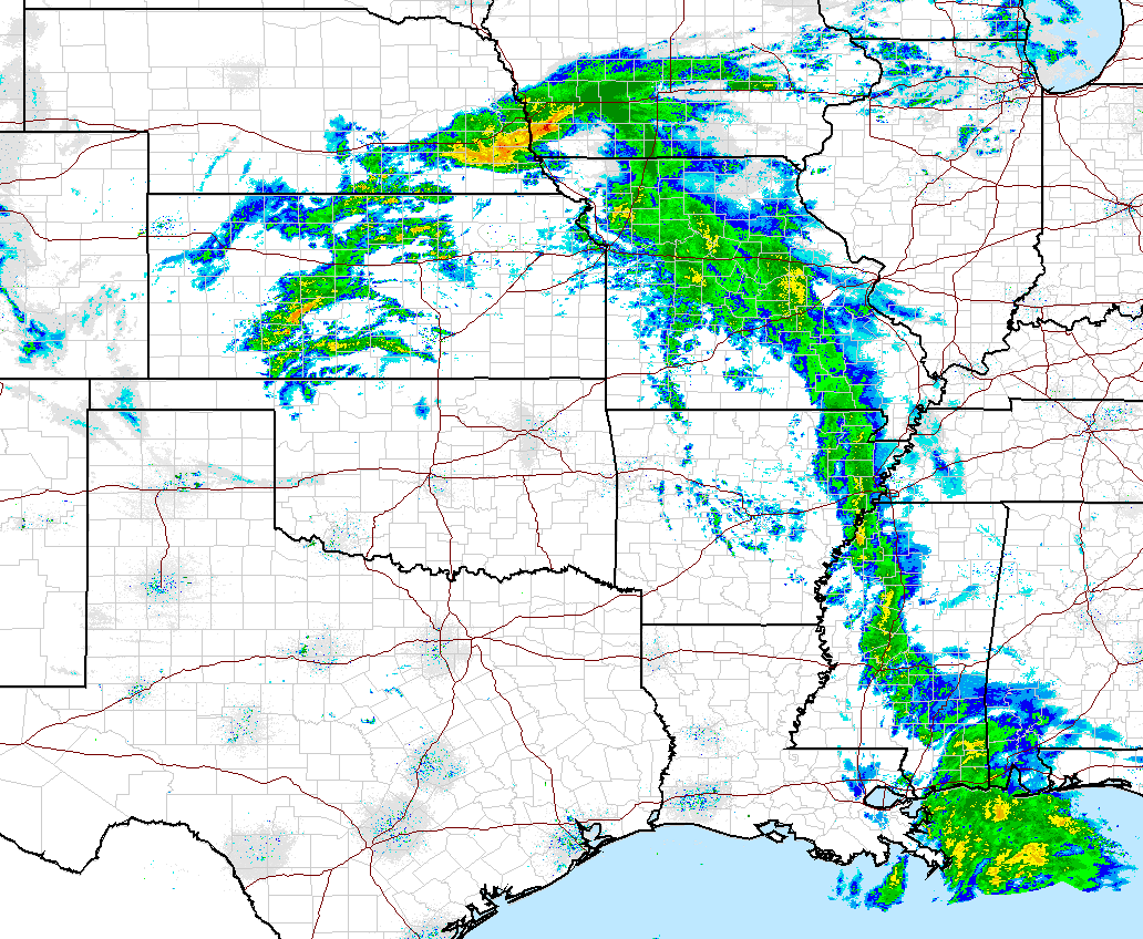
If you read this quickly enough (the Ticker, not this sentence), you can see
it nicely on the radar loop as well. If you read it later, go ahead and read that
last sentence quickly and see if anything changes.
http://radar.weather.gov/ridge/Conus/full_loop.php
BUT, you can also see this on our current Mesonet maps. Here's the wind map.
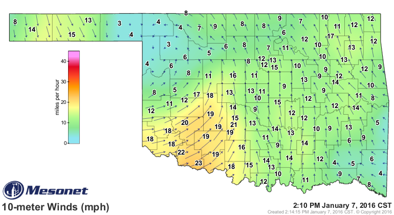
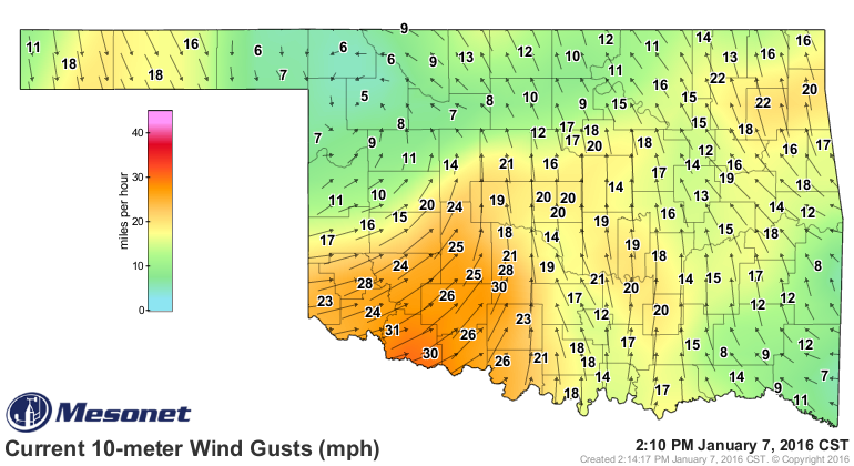
See the curly cue up in the NW? Well, now that I see it too, I'd say it's going
over Woodward County, which is what we call South Buffalo up that way.
Those southerly winds are bringing up some much nicer, as in WARMER, air into
southern OK, where some stations have risen into the 60s (60s I SAY!!)
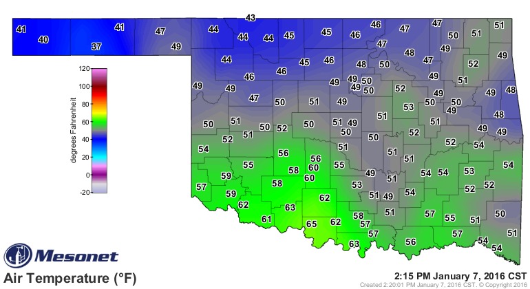
but that also has to do with something we in meteorology call "the sun."
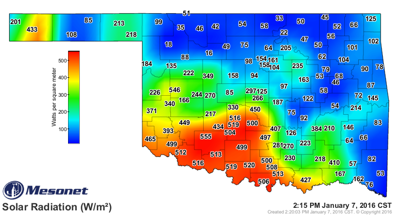
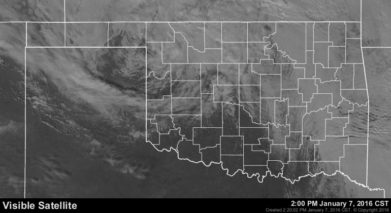
Anyway, enjoy it whilst you can, at least if you're down south, because it
ain't gonna last. Here comes big bad cold front #2 for the week tomorrow.
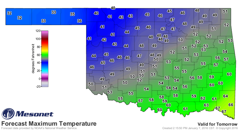
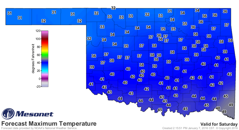
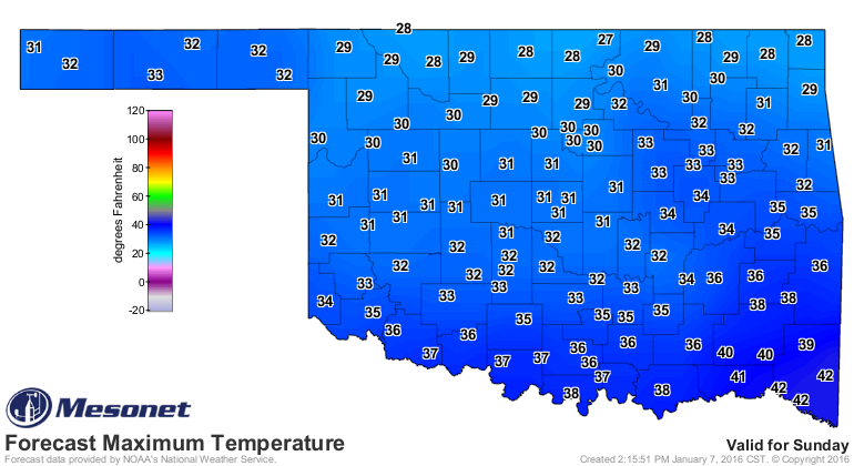
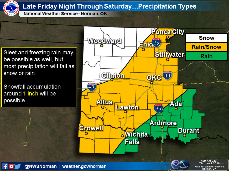
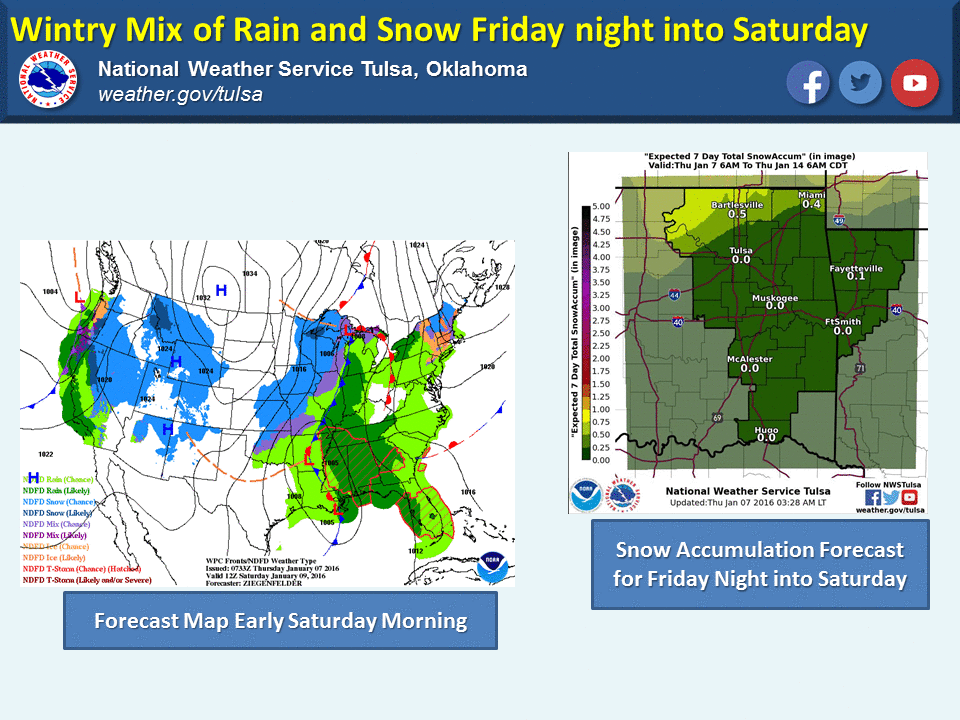
There'll be a bit of snow and rain and sleet and whatnot here and there. Just
watch the weather forecasts and stay weather aware if you're traveling. No big
whoop.
Enjoy your arctic front tomorrow. Spring is just a couple of months away.
Gary McManus
State Climatologist
Oklahoma Mesonet
Oklahoma Climatological Survey
(405) 325-2253
gmcmanus@mesonet.org
January 7 in Mesonet History
| Record | Value | Station | Year |
|---|---|---|---|
| Maximum Temperature | 85°F | WOOD | 2006 |
| Minimum Temperature | -19°F | KENT | 2017 |
| Maximum Rainfall | 2.75″ | PORT | 2008 |
Mesonet records begin in 1994.
Search by Date
If you're a bit off, don't worry, because just like horseshoes, “almost” counts on the Ticker website!