Ticker for June 10, 2015
MESONET TICKER ... MESONET TICKER ... MESONET TICKER ... MESONET TICKER ...
June 10, 2015 June 10, 2015 June 10, 2015 June 10, 2015
By the numbers
67: That's the number of tornadoes that touched down in Oklahoma during May,
verified so far by the NWS offices. That number could go up, unlikely to go down.
In fact, it could go way up. That's the third highest total for May already
(behind 2010's 91 and 1999's 90...2013 comes in a close 4th with 63). That also
makes it the third highest monthly total for any month. The annual total thus
far of 75 is the 17th highest on record...well behind 1999's top mark of 145. The
intensity (EF0-EF5) of many of those tornadoes is still under review, but so far,
no EF4 or EF5 twisters accounted for during 2015.
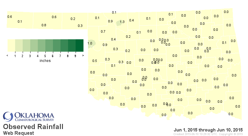
82: That's how many of the 120 Mesonet stations have yet to report a drop of rain
for June thus far. Pretty slim pickings.
14.06": That's the official total NCDC has for May's rainfall total in Oklahoma,
a bit under the Mesonet's 14.40", but still easily topping the previous record
from Oct. 1941 of 10.75".
17,079,491,515,152: That's 17 trillion, if you get tired of counting the commas,
and that's also how many gallons of water fell on Oklahoma during May, if my
math is correct. Considering a depth of water of 14.06" across the state, which
is 69,899 square miles in area. You do the math.
(no, really, you do the math and check mine)
4.36": That's the average precipitation total across the contiguous U.S. for
May, and that's also the wettest month on record, just as in Oklahoma, for
the contiguous U.S. The 4.36" mark beats Oct. 2009's 4.29" for the top spot.
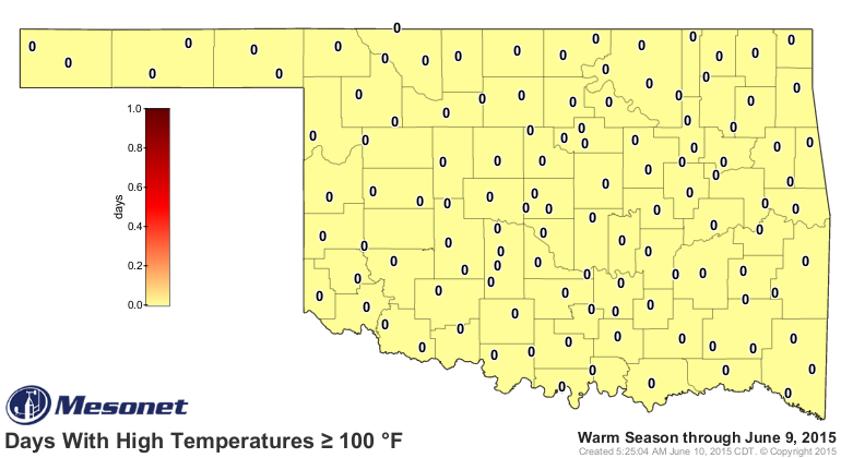
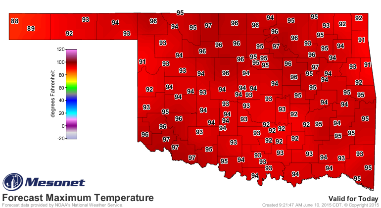
Zero: That's the number of Mesonet stations that have reached triple-digits
during 2015. Will today be the lucky day? Could get close up north and down
south.
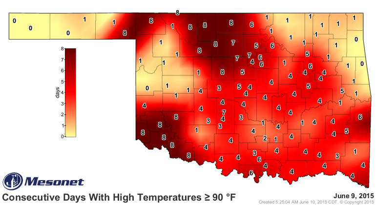
8 (going for 9): That's the number of consecutive days above 90 degrees quite
a few Mesonet stations have hit. Might as well add a 9 on the map for a lot of
those after today. Interesting that Slapout in Beaver County has had 8, but
Beaver just to the northwest has only had 1. And there's a "90-hole" up in the
NW as well.
Odd indeed!
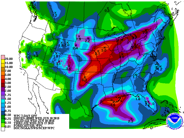
5.3": That's the bullseye the WPC is painting on Roger Mills County for rainfall
totals the next 7 days.
Zero: The number of more numbers I'm going to add to this Ticker.
Gary McManus
State Climatologist
Oklahoma Mesonet
Oklahoma Climatological Survey
(405) 325-2253
gmcmanus@mesonet.org
June 10 in Mesonet History
| Record | Value | Station | Year |
|---|---|---|---|
| Maximum Temperature | 109°F | ALTU | 2012 |
| Minimum Temperature | 40°F | EVAX | 2019 |
| Maximum Rainfall | 6.74 inches | WALT | 1995 |
Mesonet records begin in 1994.
Search by Date
If you're a bit off, don't worry, because just like horseshoes, “almost” counts on the Ticker website!