Ticker for June 25, 2013
MESONET TICKER ... MESONET TICKER ... MESONET TICKER ... MESONET TICKER ...
June 25, 2013 June 25, 2013 June 25, 2013 June 25, 2013
Vegetation tells the story
Just a smattering of rain over the last couple of days, barely a blip on the
radar, unfortunately. There is a bit in the forecast, however. Nothing to go
crazy about, but as you go from June into July, you'll take what you can get!
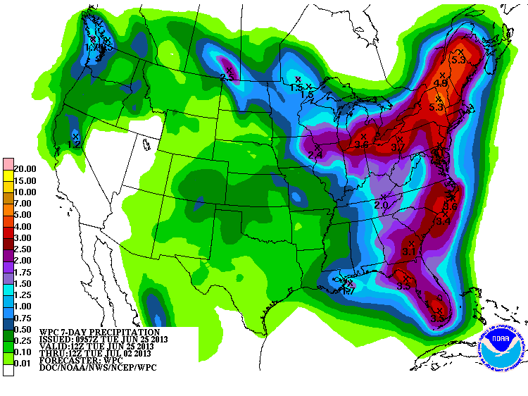
June's probably going to end up close to normal as a whole, but again, that's not
necessarily the case where you are living.


Congrats to Beaver County! McCurtain too, but they didn't need it quite as much
as Beaver County did.
The view from space shows this remarkable contrast between those that have gotten
relief across the Southern Plains, and those that haven't. Check out today's
Vegetation Health Index Image.
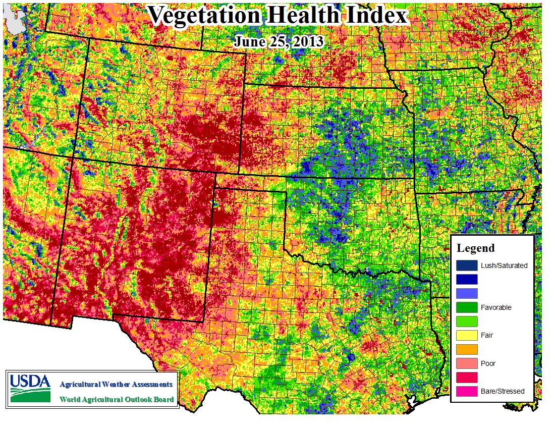
Things are particularly bad out across the High Plains, while central Oklahoma
up through Kansas looks pretty good. That even extends a bit farther to the
west. Starting to look a bit stressed out in the northeast, however.
A good cool front is forecast for next week, just in time for the week of
the 4th of July holiday. With all the rain, there MIGHT even be fireworks
allowed this year. Hopefully of the gunpowder kind. We've had all the weather
fireworks we can stand for awhile.
Gary McManus
Associate State Climatologist
Oklahoma Climatological Survey
(405) 325-2253
gmcmanus@mesonet.org
June 25 in Mesonet History
| Record | Value | Station | Year |
|---|---|---|---|
| Maximum Temperature | 111°F | ERIC | 2011 |
| Minimum Temperature | 50°F | KENT | 2018 |
| Maximum Rainfall | 4.11 inches | WAUR | 1999 |
Mesonet records begin in 1994.
Search by Date
If you're a bit off, don't worry, because just like horseshoes, “almost” counts on the Ticker website!