Ticker for November 17, 2009
MESONET TICKER ... MESONET TICKER ... MESONET TICKER ... MESONET TICKER ...
November 17, 2009  November 17, 2009  November 17, 2009  November 17, 2009


Frigid Ticker News -- Freeze watch is on, and a new (now old) state snow record!

With a freeze warning currently in effect for the western half of Oklahoma

http://forecast.weather.gov/wwamap/wwatxtget.php?cwa=oun&wwa=freeze%20warning

there's not a finer place to watch the excitement of liquid water turning to ice
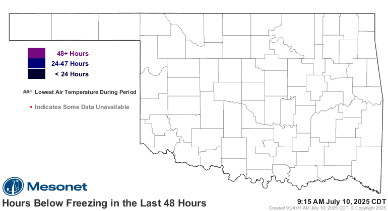
than our own Oklahoma Mesonet pages. You can see the hours spent below freezing
across the state in the previous 48 hours on our aptly named "Hours below
freezing in last 48 hours" product here:

?1258483833

That map will also show you the lowest temperature reached at each Mesonet site
during that time period.

*****New 24-hour snow record for Oklahoma*****

The State Climate Extremes Committee declared the 26.0 inches of snow recorded
by the Woodward and Freedom National Weather Service (NWS) cooperative
observing sites during the March 27-28 blizzard in northwestern Oklahoma a new
all-time 24-hr state snow fall record. The State Climate Extremes Committee
consisted of climate experts from the NWS forecast offices in Amarillo and
Norman, NWS Southern Region Headquarters, the Associate State Climatologist
for the State of Oklahoma, and climatologists from NOAA?s National Climatic
Data Center and the Southern Regional Climate Center.

Arguably the greatest springtime blizzard in living memory for the northwestern
regions and the eastern panhandle of Oklahoma occurred on the 27th of March,
2009, carrying into the morning hours of the 28th. The storm system contained
heavy snow bands and significant convective activity that included hail and
thunder snow in places.

Reports of over 20 inches of snow fall were received from numerous locations
throughout the area, and several reported over 24 inches (the existing state
record 24‐hr snow fall for Oklahoma is 23.0 inches, set at Buffalo on 21
February 1971). An unofficial report of 27.0 inches was also received from a
private citizen in Slapout.

Springtime snows can be significant in Oklahoma. In fact, research conducted by
Meteorologist Mike Branick of the Norman NWS Forecast Office found that the
best place and time to experience a heavy snow fall event (16 inches or more)
is in the Panhandle during March.

You can read more about Mike Branick's heavy snow climatology here:

http://www.srh.noaa.gov/oun/climate/heavysnow/

Gary McManus
Associate State Climatologist
Oklahoma Climatological Survey
(405) 325-2253
November 17 in Mesonet History
| Record | Value | Station | Year |
|---|---|---|---|
| Maximum Temperature | 94°F | MANG | 2017 |
| Minimum Temperature | 3°F | KENT | 2014 |
| Maximum Rainfall | 3.71″ | MIAM | 2015 |
Mesonet records begin in 1994.
Search by Date
If you're a bit off, don't worry, because just like horseshoes, “almost” counts on the Ticker website!