Ticker for March 9, 2005
MESONET TICKER ... MESONET TICKER ... MESONET TICKER ... MESONET TICKER ...
March 9, 2005 March 9, 2005 March 9, 2005 March 9, 2005
Back to the Ticker
The Ticker took another unexpected absence last month. We apologize.
We've turn the power back on at the Ticker Building, and the "Send"
button is fully functional. Thanks to those literary types that
picked up on the Highwayman theme of the last Ticker.
When Last We Met
The most recent Ticker addressed some peculiar wave-like patterns
that seem to permeate our Mesonet meteograms when conditions get
stable: http://ticker.mesonet.org/select.php?mo=2&da=4&yr=2005
We left with the following promise:
"... Mesonet operator Nathan Bain was intrigued by what he saw on
radar. And we'll discuss that in Part Two on Monday!"
Well, by "Monday", we of course meant "three weeks from Wednesday".
So, let's look into Nathan's radar imagery.
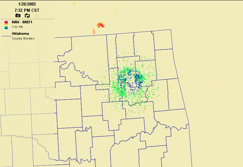
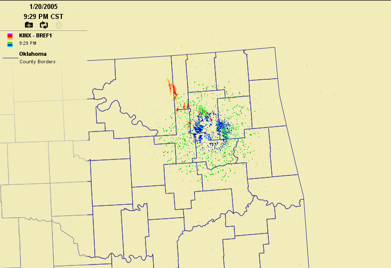
Some strange radar echoes moved generally north-to-south over the
Tulsa area on that same evening. The 7:30 pm returns show this feature
just north of the Kansas border:
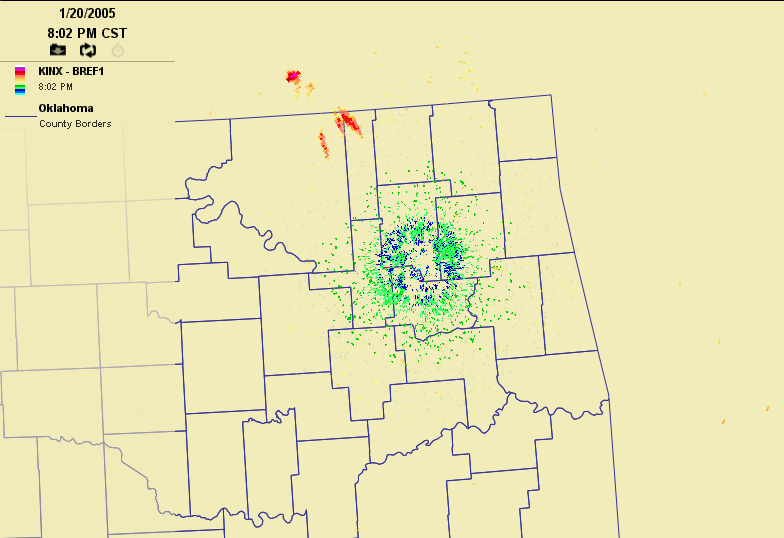
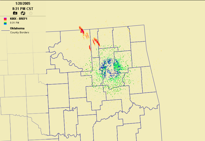
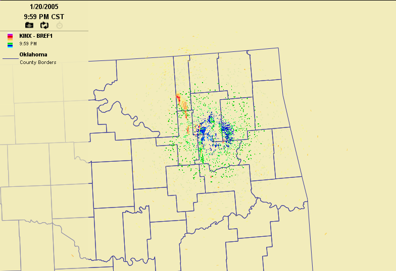
The following images are all taken 30 minutes apart. By 8:30 pm, the
feature migrated southward toward Tulsa and took on a multi-wavelet
appearance:
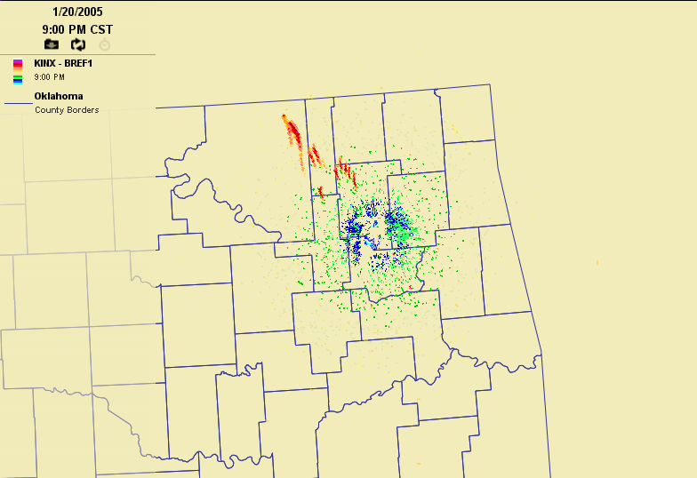
As the feature neared the Tulsa radar site, the wavelet signature
weakened, but was still visible:
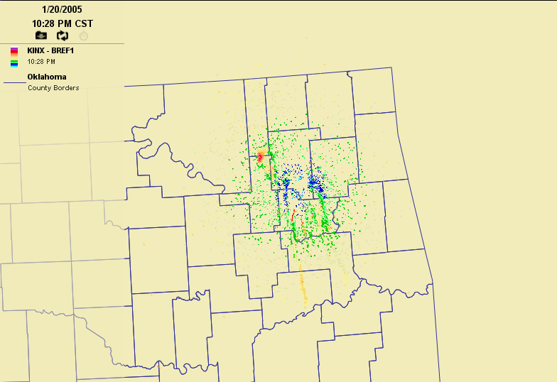
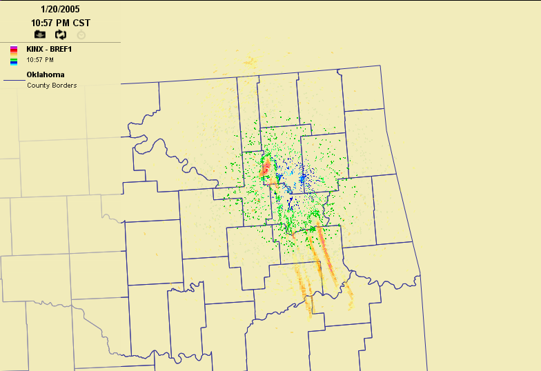
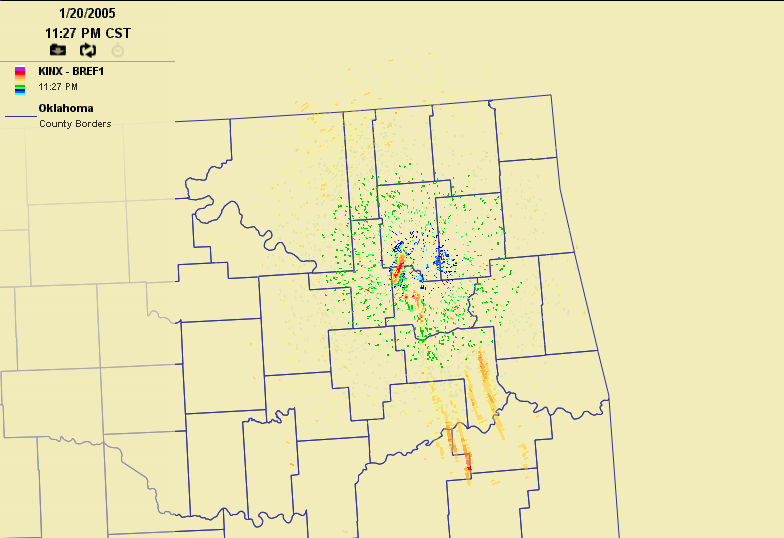
Interestingly, by 11:30 pm, several very pronounced features appeared
south of the radar site. Although these still frames don't show it
very well, the individual wavelets propagated eastward while the
entire feature moved toward the south.
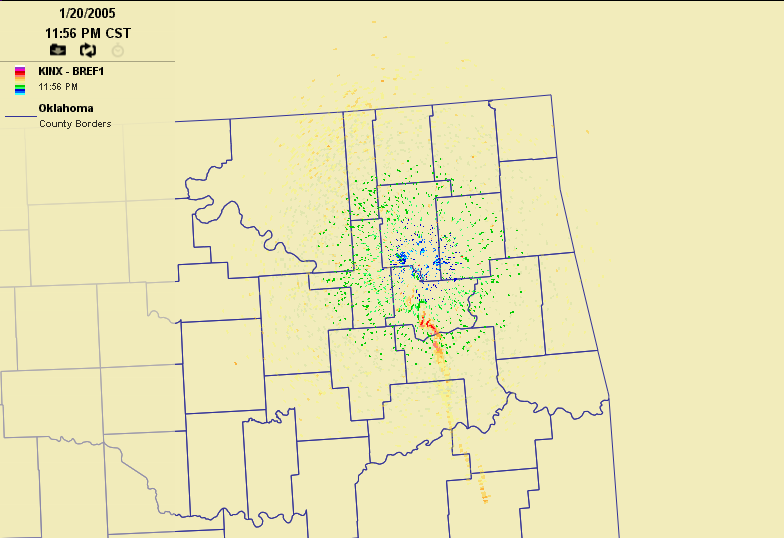
By the early morning hours of the 21st, the entire feature had faded
nearly into oblivion:

So, what was this feature? Uh, we're not sure. But the fact that it
showed up best at certain distances from the radar suggest that the
feature was contained to certain range of heights (the beam gets higher
off the ground with distance from the radar). Coupled with the dramatic
sloshing effect at Fairview noted in the previous Ticker, there's a
good chance that these are all related to waves propagating along the
top of a shallow stable layer: the radar picked up the waves, and
the Mesonet stations picked up their surface reflection.
Curiously, however, the surface winds at stations directly beneath
this radar feature showed only a very slight sloshing pattern.
March 9 in Mesonet History
| Record | Value | Station | Year |
|---|---|---|---|
| Maximum Temperature | 87°F | CAMA | 2017 |
| Minimum Temperature | 9°F | EVAX | 2022 |
| Maximum Rainfall | 3.32″ | CLOU | 2023 |
Mesonet records begin in 1994.
Search by Date
If you're a bit off, don't worry, because just like horseshoes, “almost” counts on the Ticker website!