Ticker for September 11, 2014
MESONET TICKER ... MESONET TICKER ... MESONET TICKER ... MESONET TICKER ...
September 11, 2014 September 11, 2014 September 11, 2014 September 11, 2014
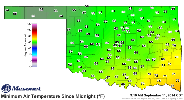
It's too cold to think about drought!
It got downright chilly in the Panhandle and NW OK last night. Yes, 50s are
officially "chilly" in this climatologist's handbook of scientific terms. The rest
of the state saw 60s and 70s, but that just depended on how long it took that
front to make it through.
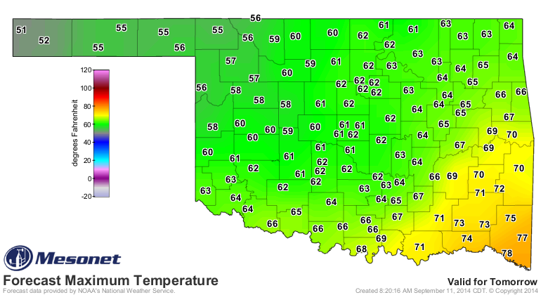
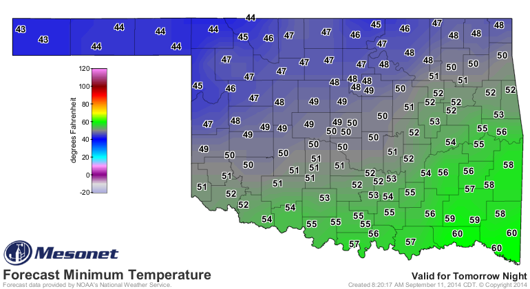
Of course, as we've reminded several times over the last few days, the real fall
weather comes tomorrow into the weekend with the arrival of a more powerful (or
at least colder) frontal system.
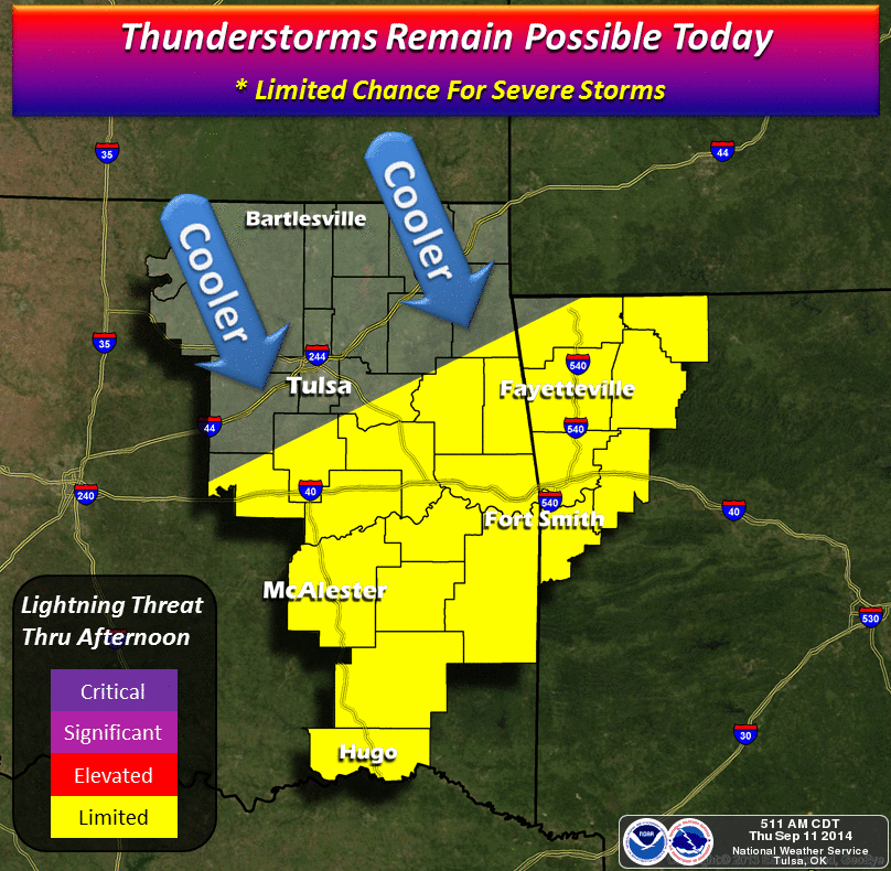
And with that second front comes a chance of rain, as detailed by the fine folks
at the local NWS offices. The Tulsa image indicates the chance for rain today
as well.
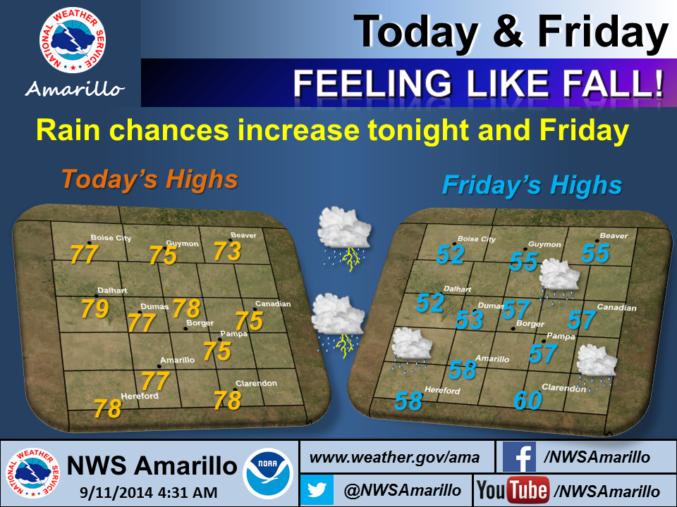
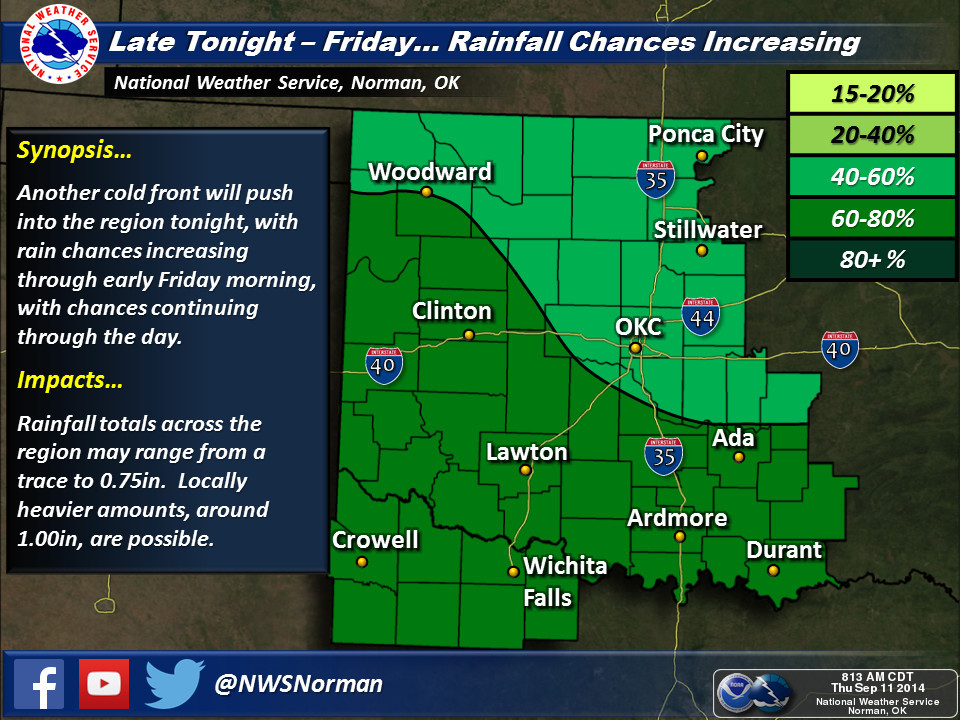
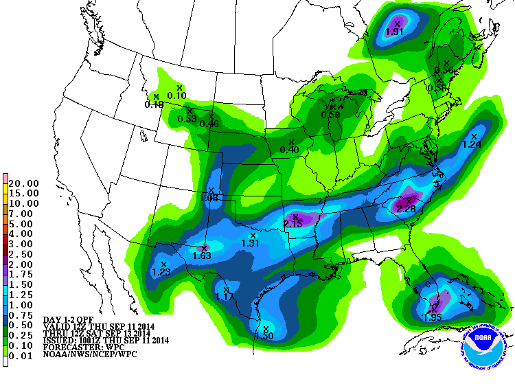
Rain amounts don't appear to be heavy at the moment...maybe an inch or more
across southeastern Oklahoma.
The latest U.S. Drought Monitor map shows that even those areas do need rain,
so while the west might not get much, the east can still use it.
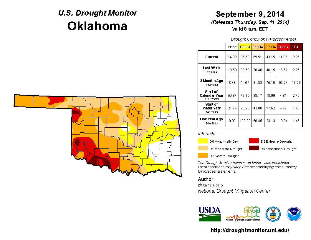
Some oddities about this week's map...the amount of D3-D4 drought went down from
17% to 12%, but the amount of D0-D4 went up from 81% to 86%. That was due to
a large increase in D0 "Abnormally Dry" conditions across NE and east central
Oklahoma. You can see the reason why drought is trying to gain a foothold there
when you look at the Mesonet rainfall maps over the last 30 days.
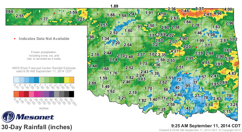
You can see that blue-green "rain shadow" up across NE OK, but also down in
the SE...both places where drought is trying to intensify.
At least we added a small hole of "D-Nada" (i.e., no drought or abnormally dry
conditions) in central Oklahoma. Hopefully that will start to expand with
any further rains we get.
Now getting those further rains...that's the problem.
Gary McManus
State Climatologist
Oklahoma Mesonet
Oklahoma Climatological Survey
(405) 325-2253
gmcmanus@mesonet.org
September 11 in Mesonet History
| Record | Value | Station | Year |
|---|---|---|---|
| Maximum Temperature | 109°F | FREE | 2000 |
| Minimum Temperature | 36°F | KENT | 2020 |
| Maximum Rainfall | 6.71″ | PUTN | 2008 |
Mesonet records begin in 1994.
Search by Date
If you're a bit off, don't worry, because just like horseshoes, “almost” counts on the Ticker website!