Ticker for September 19, 2018
MESONET TICKER ... MESONET TICKER ... MESONET TICKER ... MESONET TICKER ...
September 19, 2018 September 19, 2018 September 19, 2018 September 19, 2018
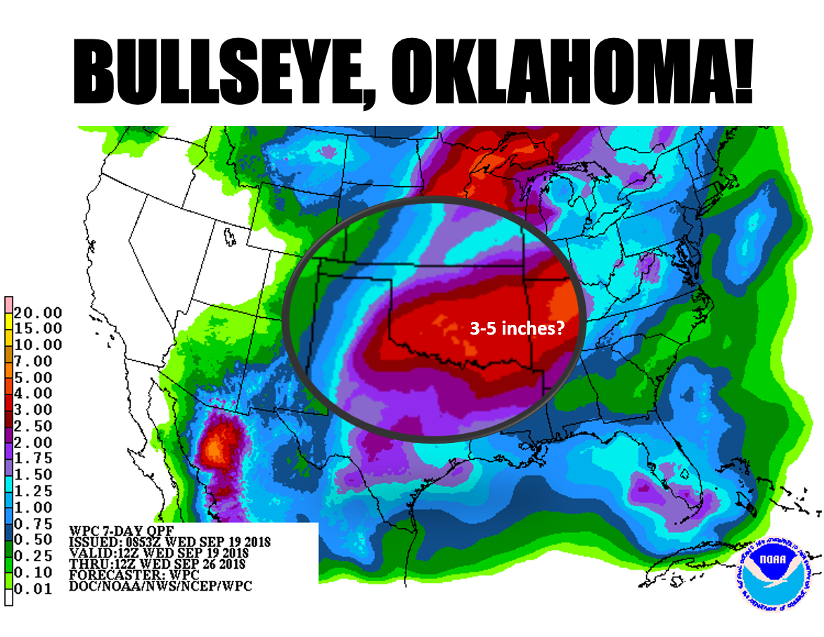
Bullseye Oklahoma!
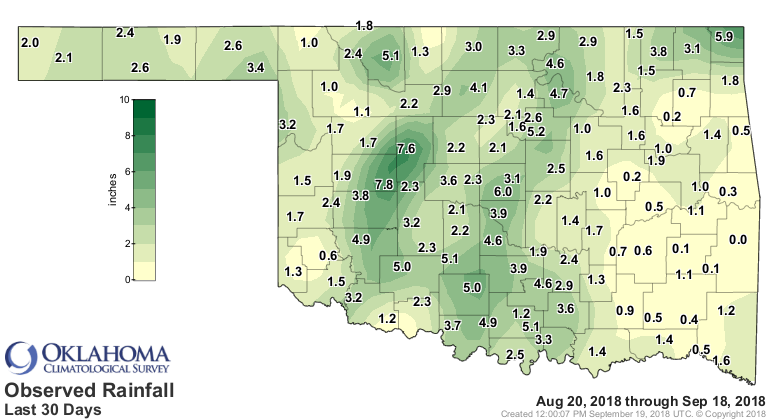
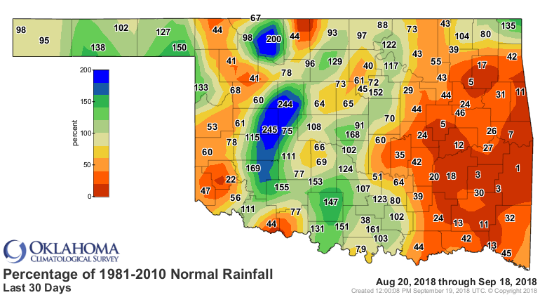
Yesterday's Ticker chronicled some burgeoning dry conditions across a large chunk
of southeastern Oklahoma. Some areas have barely had a drop over the last 30-45
days.
On the other hand, some places probably DON'T need that much rain, especially if
it falls over a short period of time. Central Oklahoma, for one. Probably not
Watonga, either. It's a classic setup for flooding, however. Starts with a cold
front late on Thursday which will then stall over the area into the weekend. Add
a storm system traveling through and lots of moisture pumped into the system
from the south and you have...A LOT OF RAIN! Friday looks like a washout, and
Saturday isn't much better in the southeast. Keep in mind the area of localized
heavy rains will probably shift with that front, and the placement of that
stalled front is hardly settled at this time.
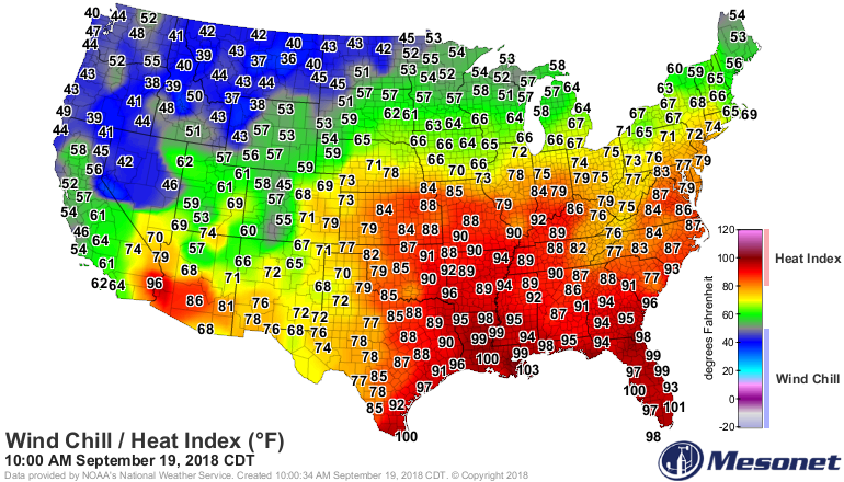
You can see that cooler air poised to our north, and the large blob of
warm/moist air camped over the SE US and into the Southern Plains.
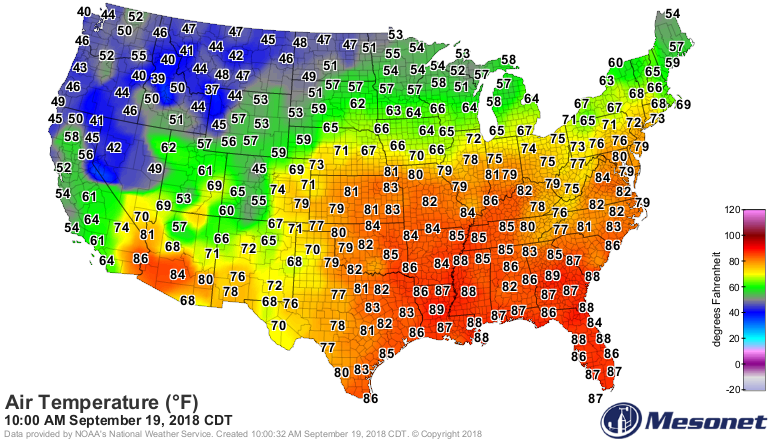
That first front should cool us down into the 60s and 70s, with a lot of help
from some thick clouds and rain. Now after that front has passed, there's a
more impressive cold front waiting in its wings. So that one might take us down
to true autumnal territory, with lows in the 40s/50s and highs in the 60s/70s.
This will be without the aid of clouds and rain, so different territory indeed.
It's just showing up on the CPC medium-term outlooks.
Could be a shock to the system, considering all the heat and humidity we've
been suffering through. Timing of the front is still in question, of course,
but let's just say "sometime next week."
September 19 in Mesonet History
| Record | Value | Station | Year |
|---|---|---|---|
| Maximum Temperature | 105°F | SEIL | 2024 |
| Minimum Temperature | 33°F | BEAV | 2003 |
| Maximum Rainfall | 4.19 inches | BBOW | 2002 |
Mesonet records begin in 1994.
Search by Date
If you're a bit off, don't worry, because just like horseshoes, “almost” counts on the Ticker website!