Ticker for May 6, 2025
MESONET TICKER ... MESONET TICKER ... MESONET TICKER ... MESONET TICKER ...
May 6, 2025 May 6, 2025 May 6, 2025 May 6, 2025
Turn Turn Turn
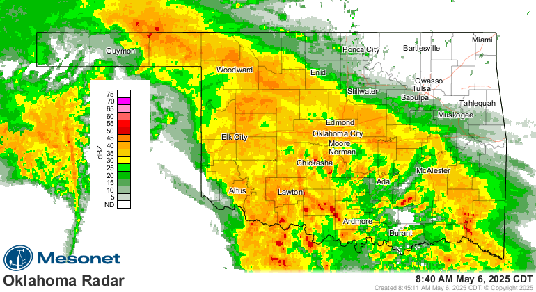
Looks like lots more rain headed this way today through tomorrow morning, and...
heck, it's raining right now for crying out loud!
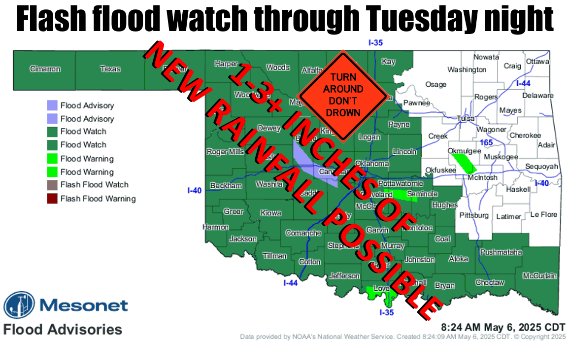
Soils are saturated, so the rain that falls will quickly run off and swell (which
is not so swell) your ponds, creeks, and rivers. And lakes. So the pleas are
more important than ever. TURN AROUND DON'T DROWN!
(And if you watched the game last night, maybe "TURN AROUND, DON'T FOUL!").
Yeah, I went there. And you'll go "there," too, if'n you try and drive through
that water. The rains don't look that impressive in the forecast, but they do
considering what we've already seen, and that they're coming from thunderstorms.
That means some areas will get a half-inch, but others might get 4.
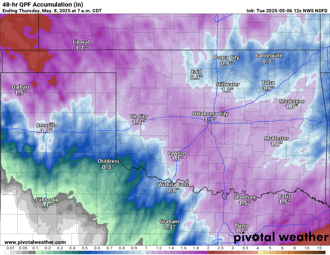
Wow, go Panhandle go (although they're also in danger of seeing flooding)!
Those highs today, though! This is definitely Mayrch (more March than May...
come on, work with me here!) territory.
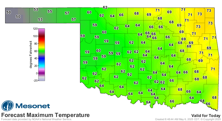
Oh well, at least it isn't Februmay.
Gary McManus
State Climatologist
Oklahoma Mesonet
Oklahoma Climate Survey
gmcmanus@ou.edu
May 6 in Mesonet History
| Record | Value | Station | Year |
|---|---|---|---|
| Maximum Temperature | 105°F | CHER | 2014 |
| Minimum Temperature | 33°F | BOIS | 1999 |
| Maximum Rainfall | 5.02 inches | OKCE | 2015 |
Mesonet records begin in 1994.
Search by Date
If you're a bit off, don't worry, because just like horseshoes, “almost” counts on the Ticker website!