Ticker for September 24, 2024
MESONET TICKER ... MESONET TICKER ... MESONET TICKER ... MESONET TICKER ...
September 24, 2024 September 24, 2024 September 24, 2024 September 24, 2024
Helene of Tulsa
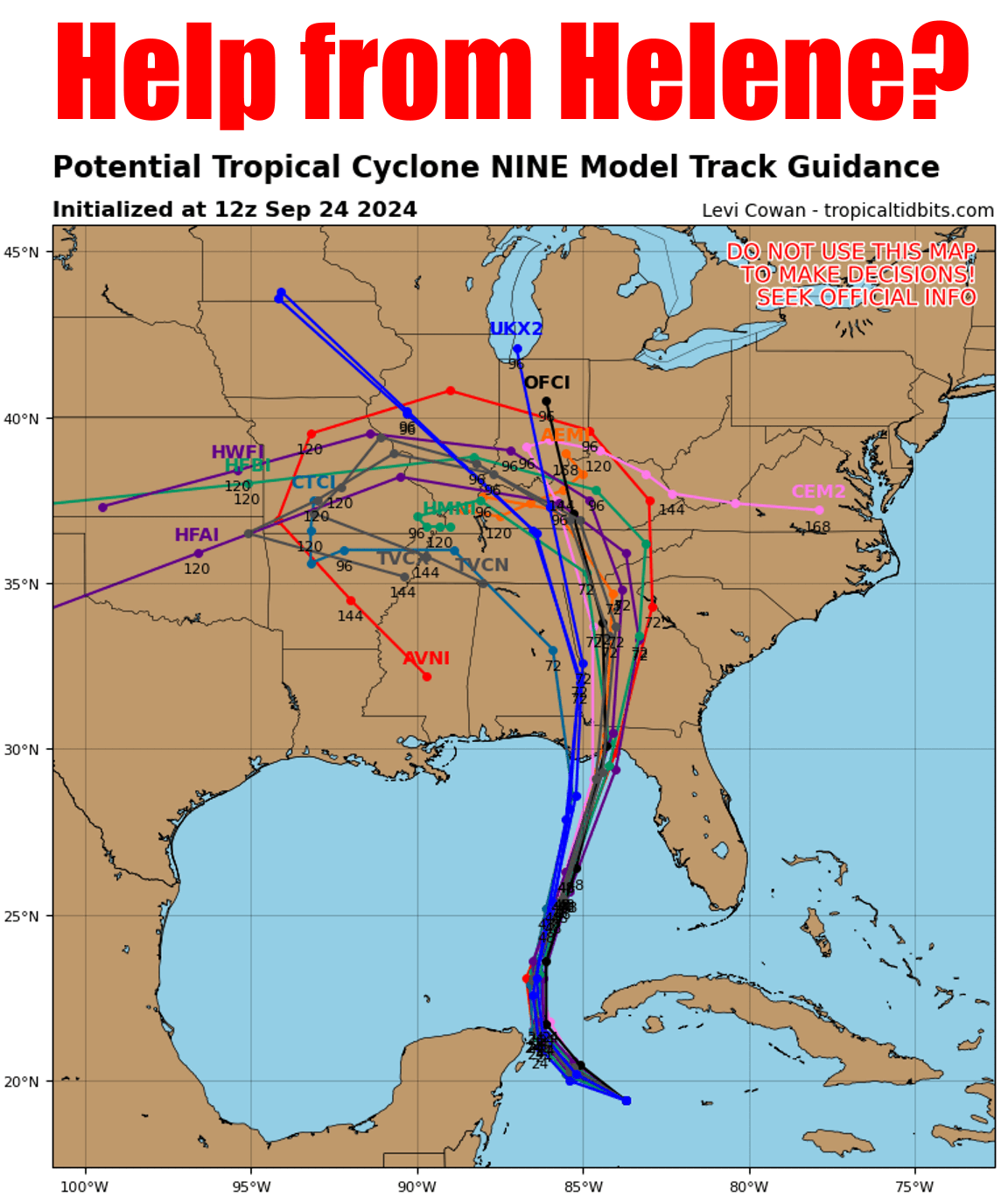
Oh, trust me (mistake!)...I know the dangers of hoping for help from something
that, for others, can be quite damaging. Like eating lunch at Taco Bell...mucho
delicious and beneficial to YOU, of course, but damaging to those around you
later on. And Helene looks like it could be a monster, and is right now forecast
to become a Major Hurricane as it approaches the western coast of Florida on
Thursday.
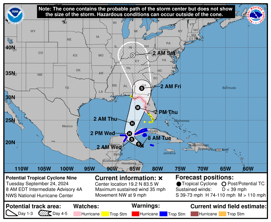
That's gonna have a terrible impact on those folks, and into Georgia as it moves
up as a tropical storm and then tropical depression. How far it travels west is
still in question, but it does appear that eastern Oklahoma will see some moisture
from the remnants of Helene.
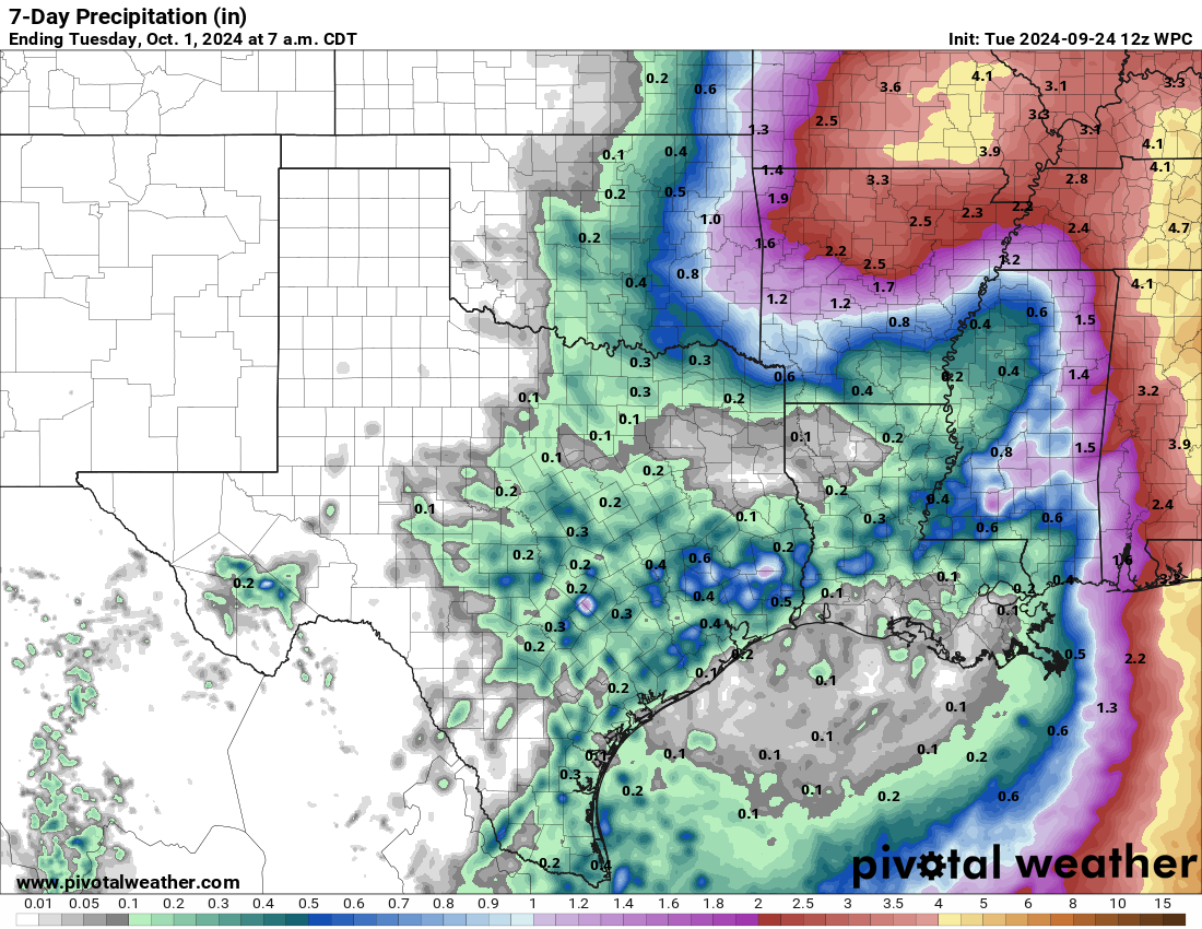
Points west shouldn't give up just yet either, because we're talking 5-7 days
out, and that forecast could obviously change for the better (or worse, with
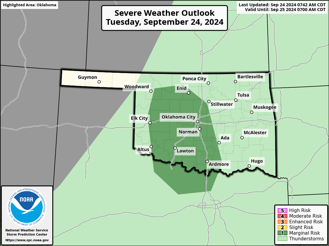
eastern OK getting very little). As for rain chances today, they're there with
some thunderstorms that could form later today, with a marginal chance of
severe weather as well.
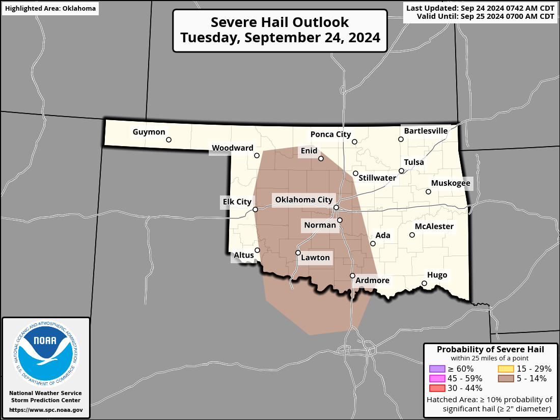

We're approaching our...well, I won't call it a secondary severe weather
season, but there is usually an uptick of severe weather in the fall as we
starting getting these mid-season cold fronts coming through with the southward
dip in the jet stream. Nothing major today, it appears, but still...best be
prepared.
Gary McManus
State Climatologist
Oklahoma Mesonet
Oklahoma Climate Survey
gmcmanus@ou.edu
September 24 in Mesonet History
| Record | Value | Station | Year |
|---|---|---|---|
| Maximum Temperature | 101°F | BUFF | 1998 |
| Minimum Temperature | 29°F | BOIS | 2000 |
| Maximum Rainfall | 4.77″ | CLAY | 2019 |
Mesonet records begin in 1994.
Search by Date
If you're a bit off, don't worry, because just like horseshoes, “almost” counts on the Ticker website!