Ticker for August 27, 2024
MESONET TICKER ... MESONET TICKER ... MESONET TICKER ... MESONET TICKER ...
August 27, 2024 August 27, 2024 August 27, 2024 August 27, 2024
AIIIEEEE!!!

Hey, you think THAT map looks nice for next Monday, check out THIS map for today!
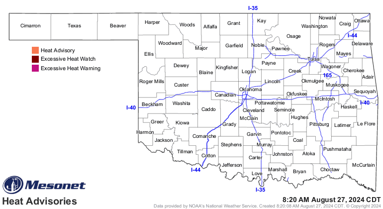
Oh yeah, it's still gonna be hot, but NO HEAT ADVISORIES in store for the state
for the first time in...well, a long time. It'll be hot for the next few days
until we see that front come to fruition on Friday.
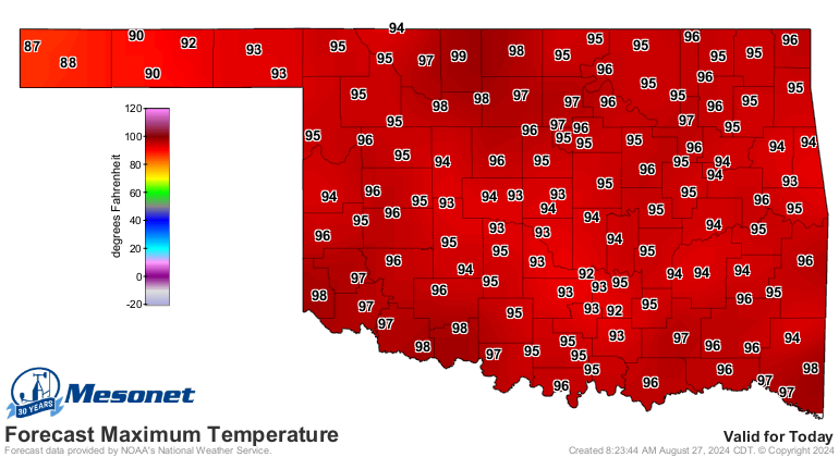
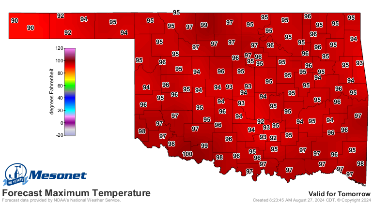
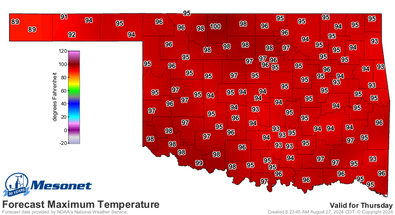
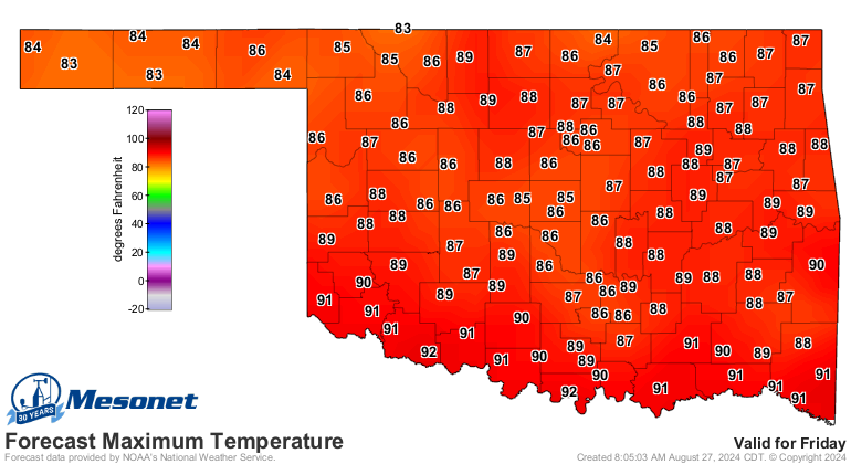
It's that more powerful front early next week that could take us down to Pumpkin
Spice Madness territory, however, with highs in the 70s and lows in the 50s and
lower 60s. I'm not really a fan of that type of weather, but I am a fan of
change when the weather gets stagnant. And don't forget we do need the rain.
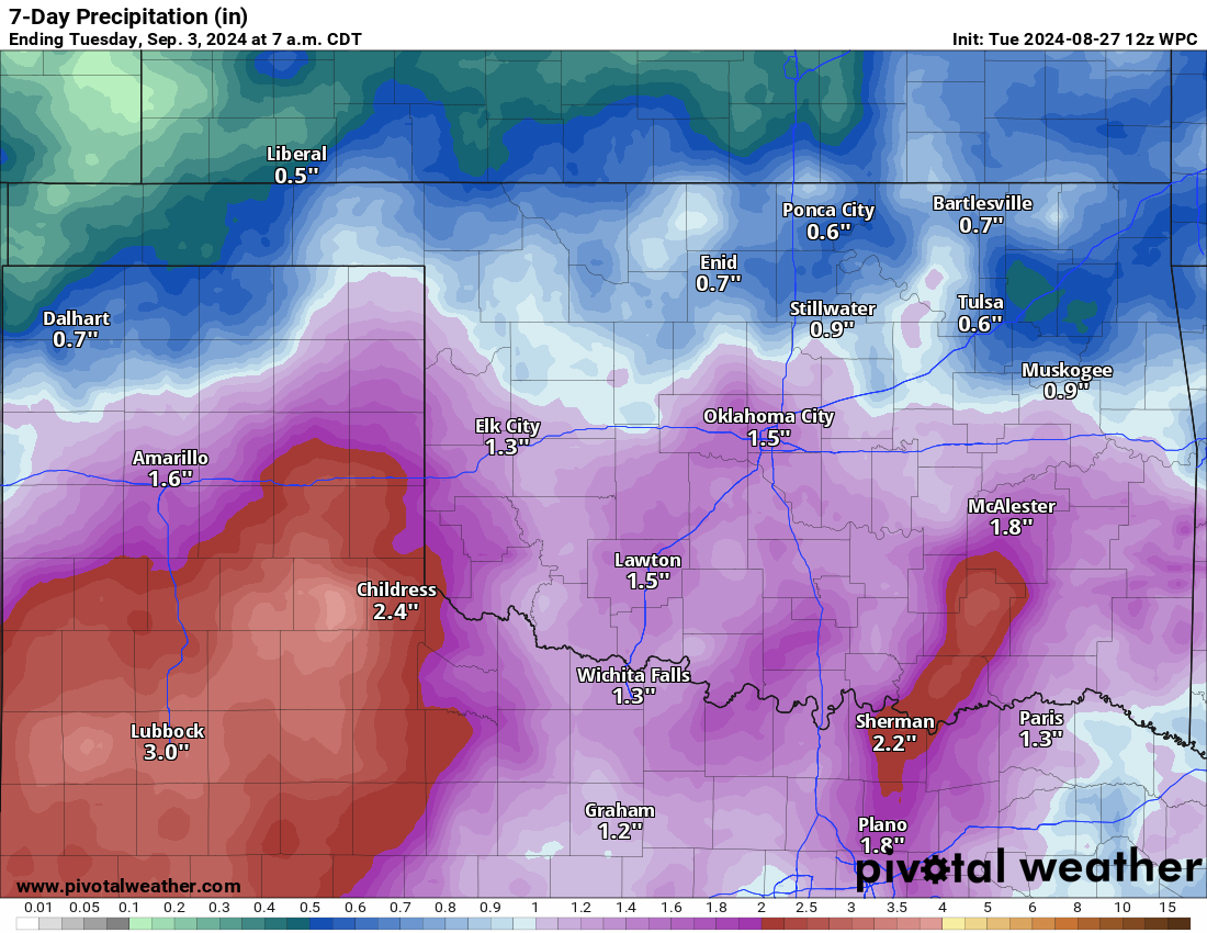
That all starts on Thursday and continues off and on through early next week.
*IF* it happens, of course. I'm much more bullish on the temps than I am the
rainfall, but we'll see.
And don't forget...there are worse things out there than heat and drought.

Gary McManus
State Climatologist
Oklahoma Mesonet
Oklahoma Climate Survey
gmcmanus@ou.edu
August 27 in Mesonet History
| Record | Value | Station | Year |
|---|---|---|---|
| Maximum Temperature | 109°F | GRA2 | 2011 |
| Minimum Temperature | 48°F | SEIL | 2010 |
| Maximum Rainfall | 3.95″ | CLOU | 1996 |
Mesonet records begin in 1994.
Search by Date
If you're a bit off, don't worry, because just like horseshoes, “almost” counts on the Ticker website!