Ticker for June 20, 2022
MESONET TICKER ... MESONET TICKER ... MESONET TICKER ... MESONET TICKER ...
June 20, 2022 June 20, 2022 June 20, 2022 June 20, 2022
Youse can change
The Ticker is officially off today, but aren't we off most days? However, we had
to Tick today because we really want to Tock about our upcoming weather change.
No, not today. No, not tomorrow. NO, not Wednesday! No to Thursday and Friday.
MAYBE for Saturday. SURELY by Sunday. Yes, I'm being vague because the computer
forecast models are being vague, but sometime this weekend, it appears we will
drag a strong cold front through the state and end the current heat wave at 15 or
16 days. But it's gonna get hot before then. Yeah, like I like to quote Dalton:
"Pain don't hurt."
Wait, not that one.
"It'll get worse before it gets better."
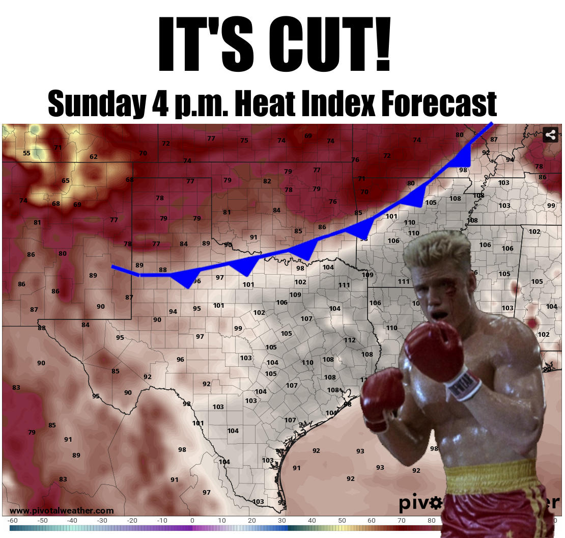
Now that top graphic is just one model's interpretation of this weekend's probable
weather change, so stay tuned, but change is coming...either this weekend or on
October 14th. A cold front will eventually get here.
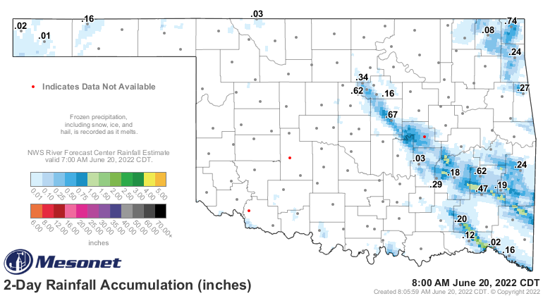
We do need some rain, however. There was a bit of rain here and there...much
more "there" than "here," but for those lucky few, hopefully it cooled you down
a bit.
There will be a few chances, again here or there, over the next few days. But
not much in most places.
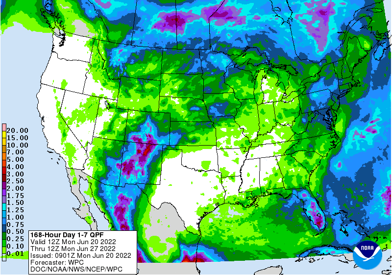
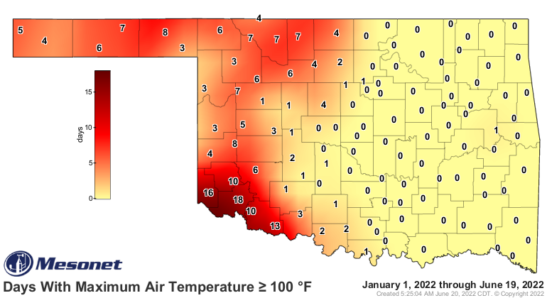
So we'll build on this map for another week or so.
So enjoy it whilst you can, hate it whilst you can...do whatever whilst you can.
Change is coming. As for the heat wave...if it dies, it dies.
Gary McManus
State Climatologist
Oklahoma Mesonet
Oklahoma Climatological Survey
gmcmanus@mesonet.org
June 20 in Mesonet History
| Record | Value | Station | Year |
|---|---|---|---|
| Maximum Temperature | 112°F | MANG | 1998 |
| Minimum Temperature | 52°F | KENT | 2000 |
| Maximum Rainfall | 4.32 inches | BOWL | 2007 |
Mesonet records begin in 1994.
Search by Date
If you're a bit off, don't worry, because just like horseshoes, “almost” counts on the Ticker website!