Ticker for April 29, 2019
MESONET TICKER ... MESONET TICKER ... MESONET TICKER ... MESONET TICKER ...
April 29, 2019 April 29, 2019 April 29, 2019 April 29, 2019
Redshirt Tuesday
"Avengers: Endgame" memes? Pshaw! "Game of Thrones?" Pretender to the crown. When
it comes to endangered species memes, nothing works better than the cannon fodder
that is the redshirted Star Trek crew member.
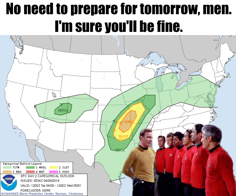
Things don't look all that bad tomorrow, though. At least at this point. But
given the benign nature of the severe weather season thus far, the hint of some
high end severe weather tomorrow gives us pause.
Okay, we paused. Now, prepare for severe weather. It COULD start as early as later
this afternoon, although the Storm Prediction Center has calmed things down today
somewhat. Looks like flooding could be the big ouchie tonight (extending through
Wednesday).
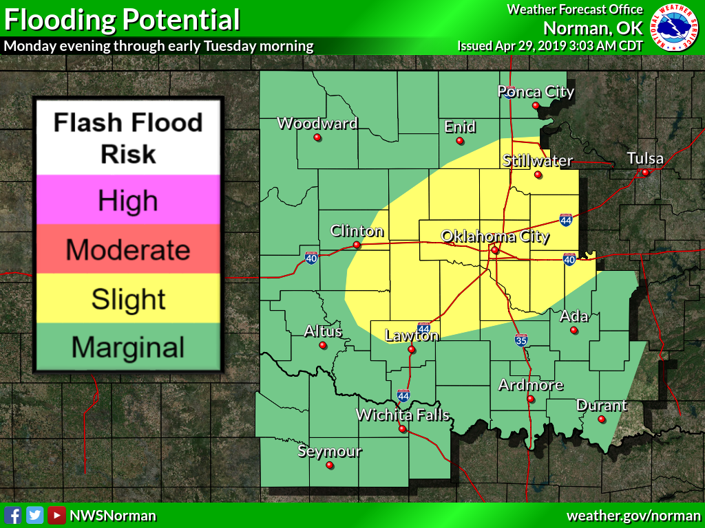
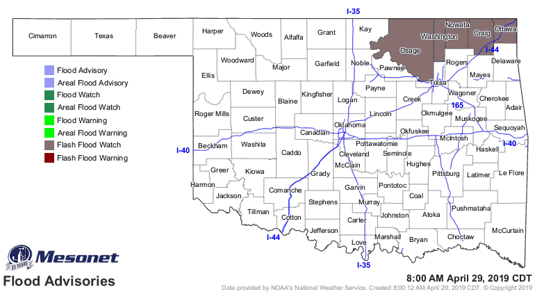
We see a flash flood watch for tonight across NE OK, but I wouldn't be shocked
if that extends farther to the south and west eventually.
SPC "only" gives us a marginal risk across most of the state for today, with
pretty low chances for anything significant in the way of wind and hail, and
twisters.
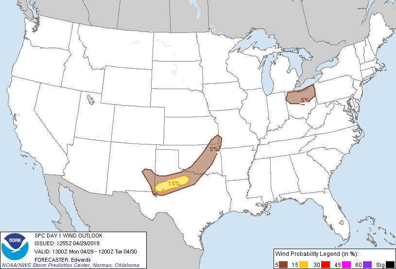
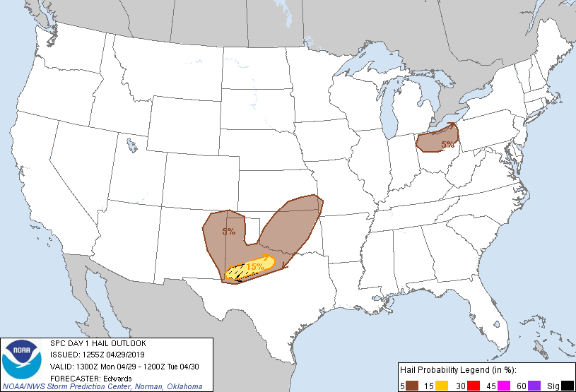
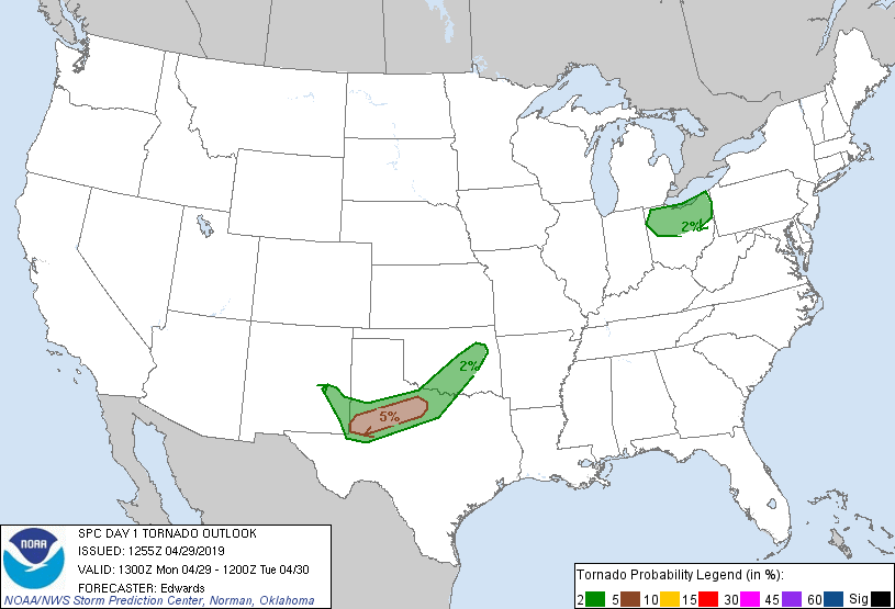
Tomorrow still looks to be the most significant day, with Wednesday another
"wait and see, could be bad" day.
There's no way to give absolutes on this. SPC will issue new outlooks later just
before noon, and things could change a bit, change dramatically, or stay pretty
much the same. That's the way these severe weather days evolve. What happens
today could have a big impact on tomorrow, and then again on Wednesday. Where
will the boundaries set up? What will happen to the capping inversion? Will we
hit the magical temperature to initiate convection? And that's just the basic
stuff. At the least, I'd say prepare for lots of rain starting tonight, with
wind and hail a possibility to add tomorrow, but don't rule out a high end
severe weather day tomorrow just yet.
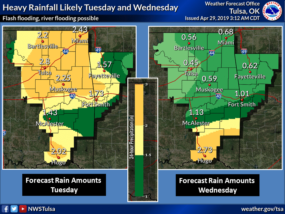
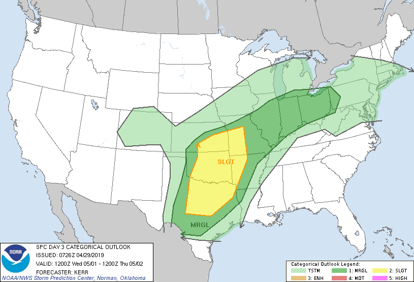
The 3-day rainfall forecast shows the flooding threat pretty well, but even
that is being too particular. Where will those storms line up and repeatedly
train over the same area?

All these reasons and more to PREPARE NOW for the next few days. Or at least
put on a gold or blue shirt.
Gary McManus
State Climatologist
Oklahoma Mesonet
Oklahoma Climatological Survey
(405) 325-2253
gmcmanus@mesonet.org
April 29 in Mesonet History
| Record | Value | Station | Year |
|---|---|---|---|
| Maximum Temperature | 100°F | ALTU | 2022 |
| Minimum Temperature | 31°F | KENT | 2017 |
| Maximum Rainfall | 12.42 inches | BURN | 2009 |
Mesonet records begin in 1994.
Search by Date
If you're a bit off, don't worry, because just like horseshoes, “almost” counts on the Ticker website!