Ticker for February 27, 2019
MESONET TICKER ... MESONET TICKER ... MESONET TICKER ... MESONET TICKER ...
February 27, 2019 February 27, 2019 February 27, 2019 February 27, 2019
Ice ice baby
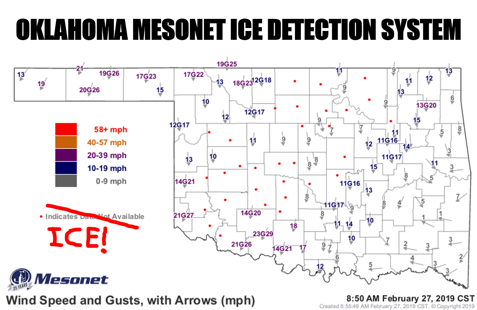
The Mesonet has become indispensable for Oklahomans, from saving the lives of
firefighters to helping determine exactly where roads will be ice, or just wet.
It's also indefensible by allowing a certain insane state climatologist to meme
his way through life, subjecting others to said insanity...but that's a different
story. When we built this Mesonet (we built this Mesonet on rocccckkkkk and
rollllllll...sorry, bad Starship song relapse) 25 years ago, we didn't know
exactly what we were getting. For example, I don't think anybody thought the
Mesonet's wind maps would become ice detectors. As those anemometers start to get
coated with ice from freezing drizzle/rain, they freeze up and start to slow
down. And those of you who have ever frozen your anemometer, you know just how
painful that can be. But anyway, when it starts to slow down (or eventually stop),
our faithful QA meteorologists start to flag those anemometers and remove their
observations from the map, being replaced with a red dot. Now sometimes we'll get
those red dots due to a communication issue, or a visit from a Mesonet technician
visiting a site, but in times like this, it's almost certainly due to ice-covered
wind instruments. On the map above, you can see the extent of those red dots from
far SW OK all the way up to the Kansas border, giving you an effective map of the
most significant ice coverage.
Now if you're a regular Ticker reader, aside from being slightly off...I mean
you'd have to be to keep reading this stuff!...you'll know that my biggest enemy
is ice (right next to arctic air and single-ply toilet paper). And all it takes
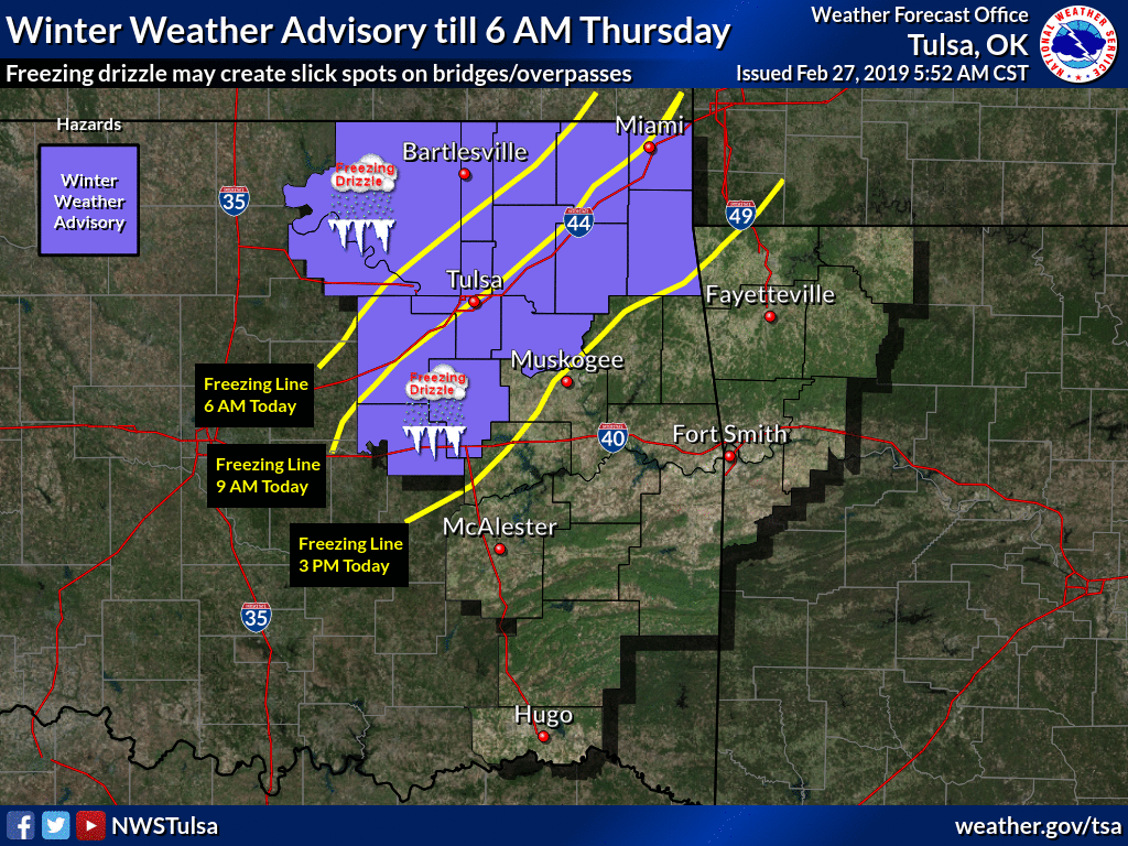
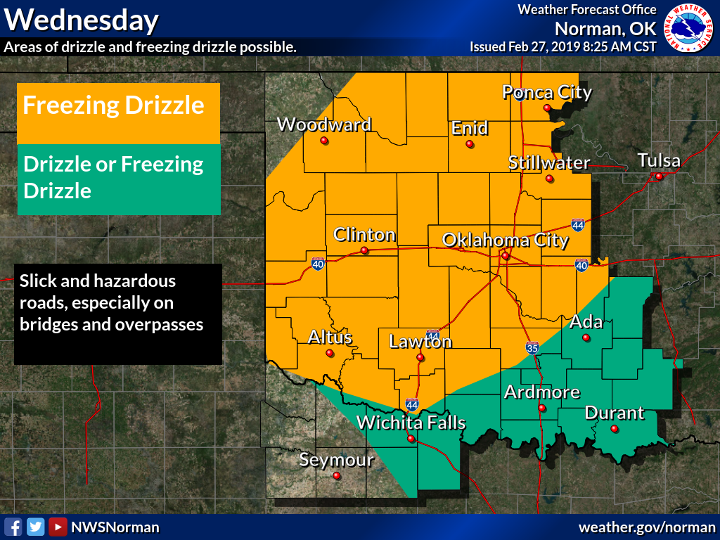
is a modest freezing drizzle to gum up the works. We have reports of ice-covered
highways up in Garfield County, accidents all over SW and C Oklahoma, and this
is all going to continue through tomorrow morning. In other words, it's going
to get worse before it gets better. The winter weather advisory (ostensibly a
traveler's advisory, and I hope I used "ostensibly" correctly because I'm too
lazy to look it up) now covers much of the northwestern half of the state.
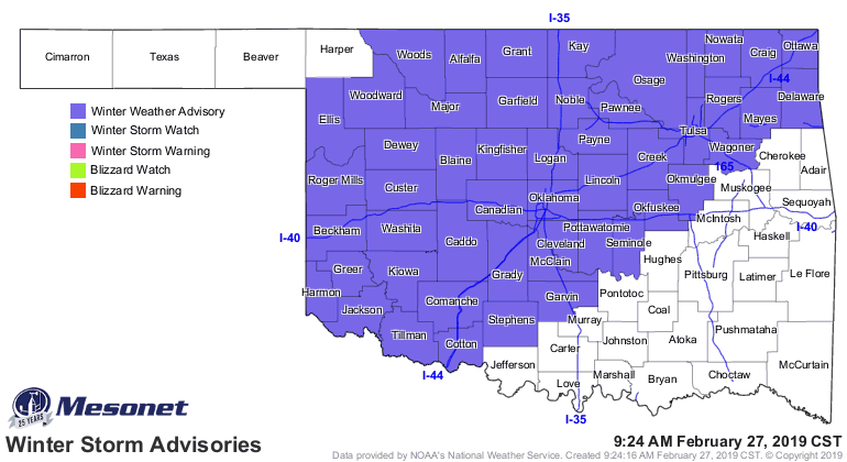
Again, with the freezing drizzle continuing through the night.

We'll get a break as temperatures rise above freezing later on Thursday through
Friday, but then the arctic is gonna hit the fan again over the weekend.

That's right...the coldest air of the season. In March, for crying out loud!
March always tends to disappoint us warm weather fans. So close to spring and
new warmth, but still close to winter that we get more 50s and 60s than 70s
and 80s, at least for our taste. But we can also get some of our bigger
snowstorms that month. Not seeing that for this weekend into early next week.
Just not enough moisture return, so we'll just see brutally cold temperatures
and more light ice or snow.
I would say take heart, spring is just around the corner. But in reality it's
too too far away!
Gary McManus
State Climatologist
Oklahoma Mesonet
Oklahoma Climatological Survey
(405) 325-2253
gmcmanus@mesonet.org
February 27 in Mesonet History
| Record | Value | Station | Year |
|---|---|---|---|
| Maximum Temperature | 90°F | WALT | 2011 |
| Minimum Temperature | 4°F | BEAV | 2002 |
| Maximum Rainfall | 1.82 inches | CLOU | 2018 |
Mesonet records begin in 1994.
Search by Date
If you're a bit off, don't worry, because just like horseshoes, “almost” counts on the Ticker website!