Ticker for June 2, 2015
MESONET TICKER ... MESONET TICKER ... MESONET TICKER ... MESONET TICKER ...
June 2, 2015 June 2, 2015 June 2, 2015 June 2, 2015
The little pond at its best
I know there are a lot of mixed emotions about the historic May rains. For most,
it meant and end to the 4.5 year drought we had suffered under and a nice green
summer ahead (at least for a bit). For others, it brought heartbreak and calamity
thanks to flooding, tornadoes, or just too much severe weather for their nerves.
And we can never forget the 11 deaths during the month. Our hearts go out to those
families, and to all of those that suffered damage.
For the lucky, however, they get the joy of a beautiful green landscape, plenty
of water to enjoy or to work with (farmers, ranchers, etc.). I happen to know
just such a place that has enjoyed the rains...a little farm pond 8 miles south
of Buffalo. Many of you remember the saga of the little pond that couldn't, then
could, then couldn't again. Well, it appears it could again. Let's go through the
sequence of pics from this pond that came to symbolize the plight of western
Oklahoma.
For a recap, beginning with a picture from May 2009 when it was
at its most lustrous glory, to a depressing baked-hard cracked mess in the summer
of 2011, and forward to a glorified mudhole in early 2014, check out the following
pictorial chronography. You'll notice some longer gaps in there later into
the account, generally because it became too depressing to visit at some point.
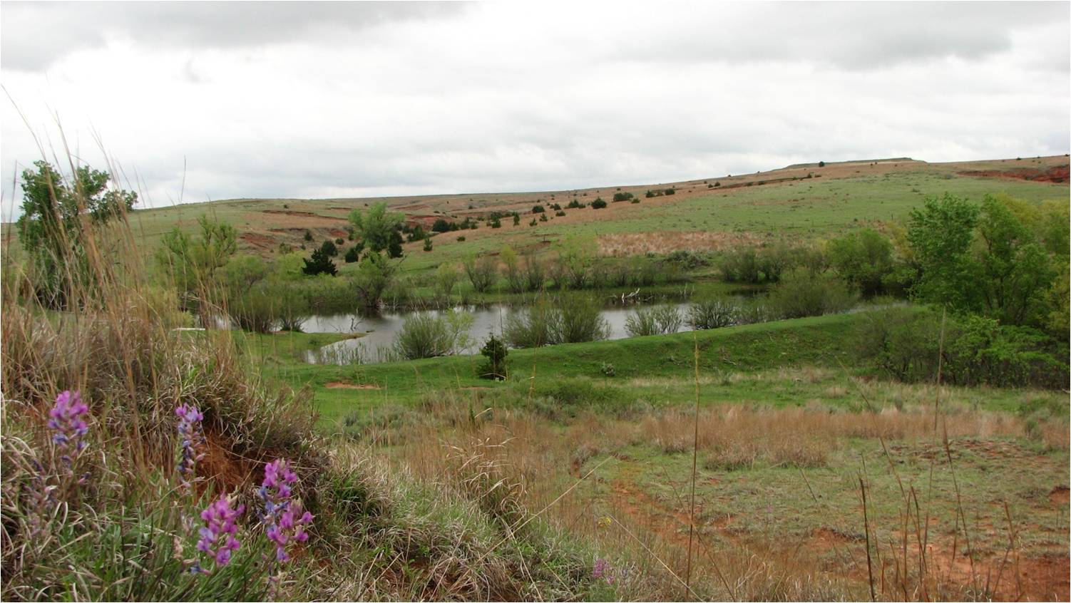
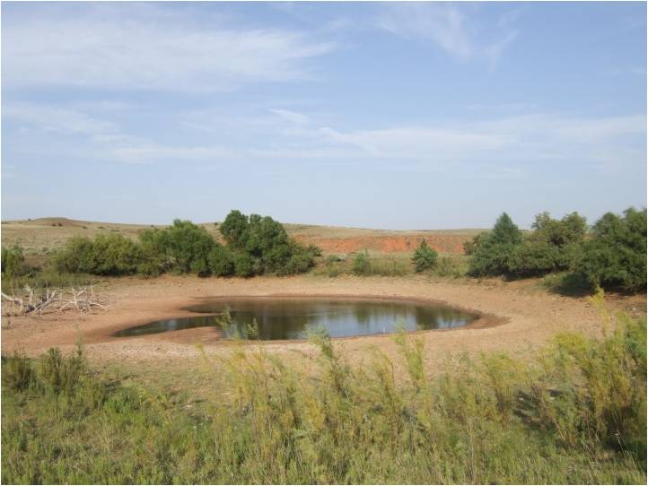
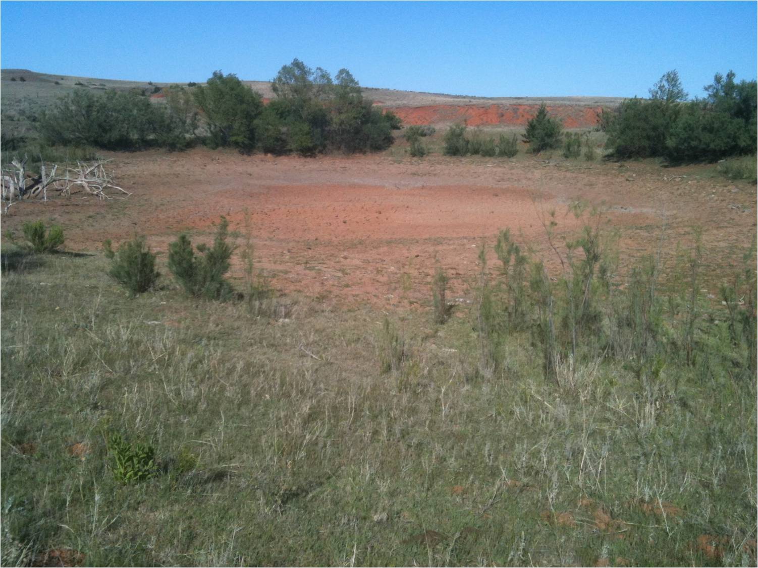
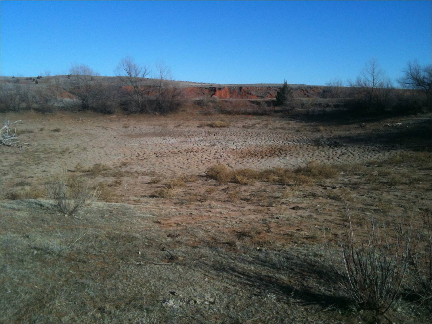
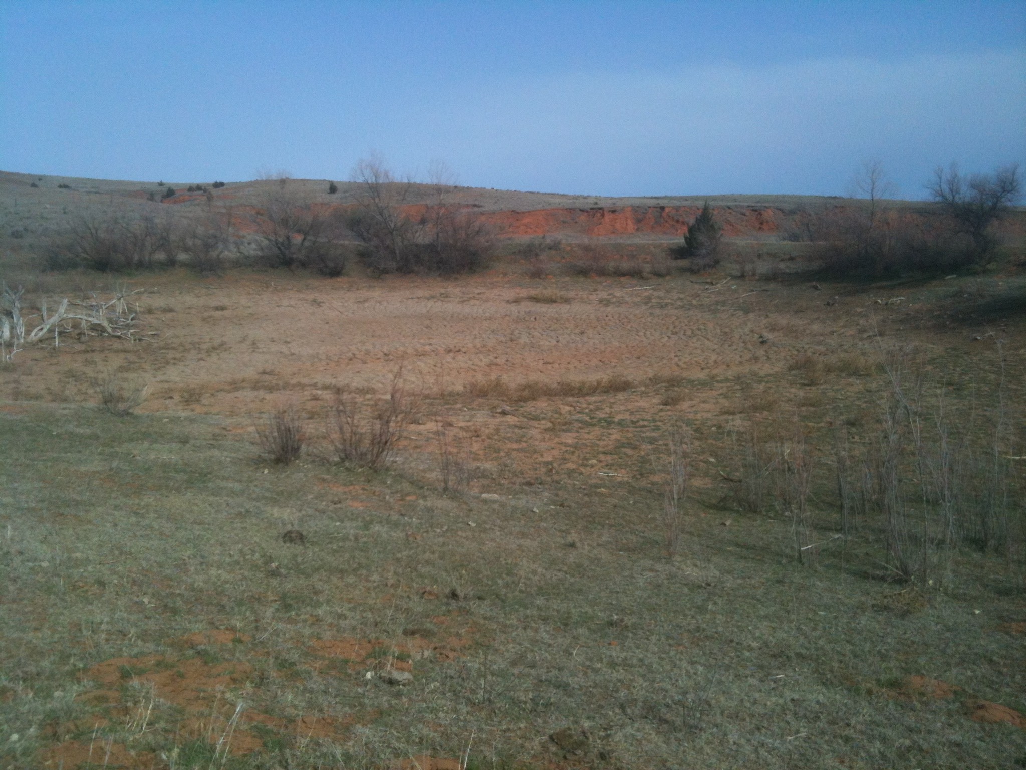
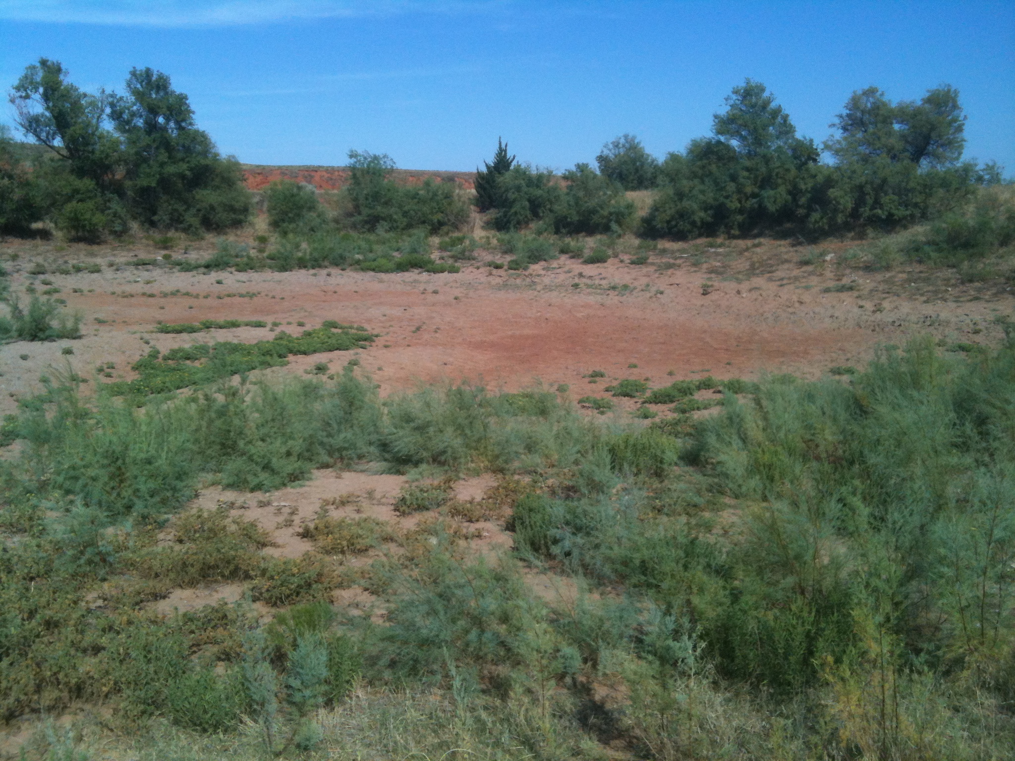
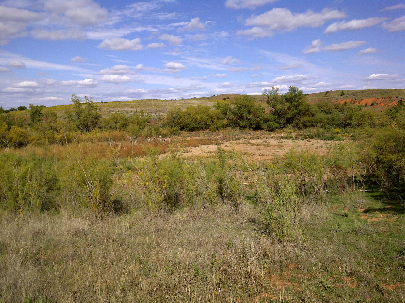
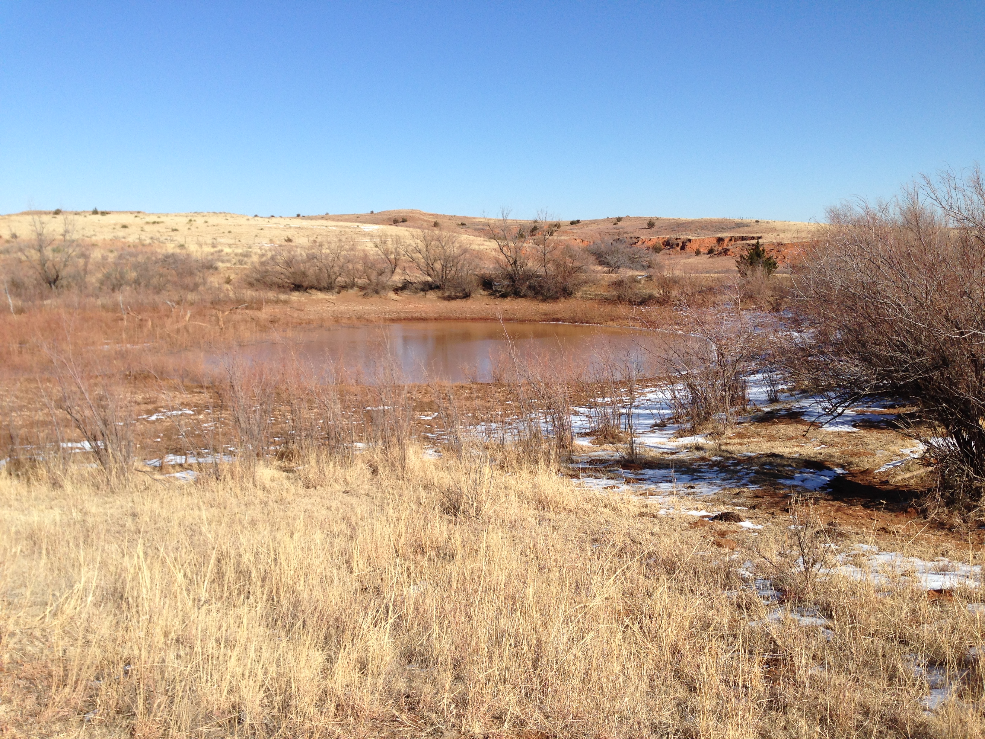
So it was overflowing at the end of June 2014, thanks to another blast of rain
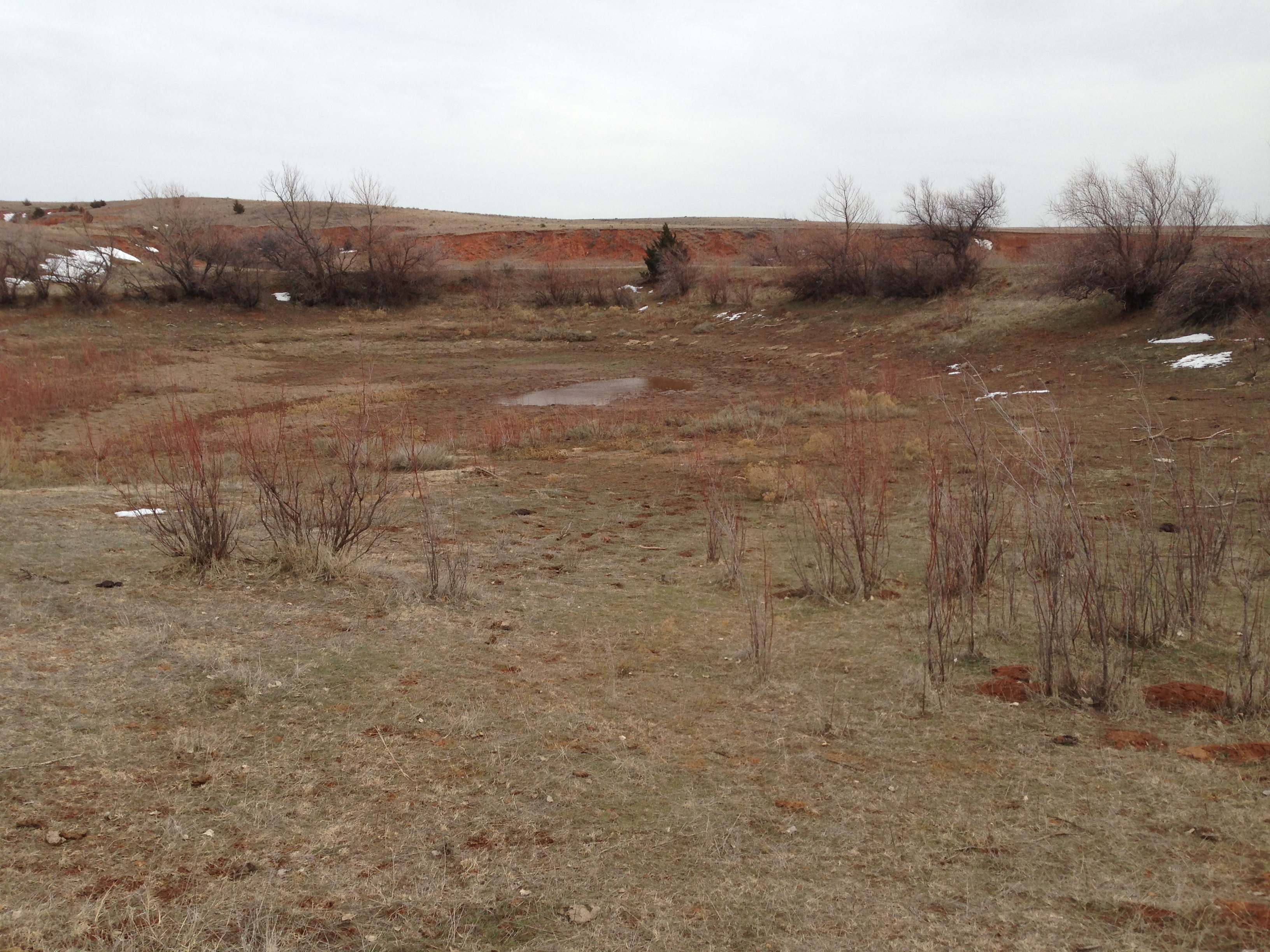
up in northwestern Oklahoma. Problems over, correct? Well, no, because for the
8 months after that, we went back into another mostly-dry pattern across
western Oklahoma, and the little pond that could, well, couldn't again. I know
this is a nice, pretty picture with the snow and such, but the shape of the
pond was depressing once again.
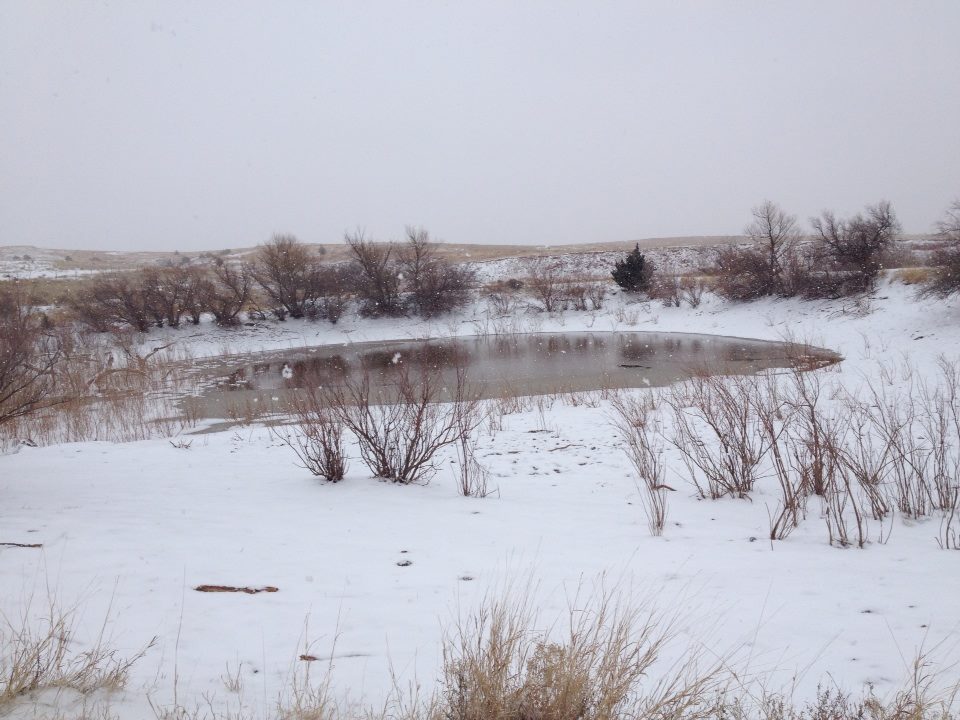
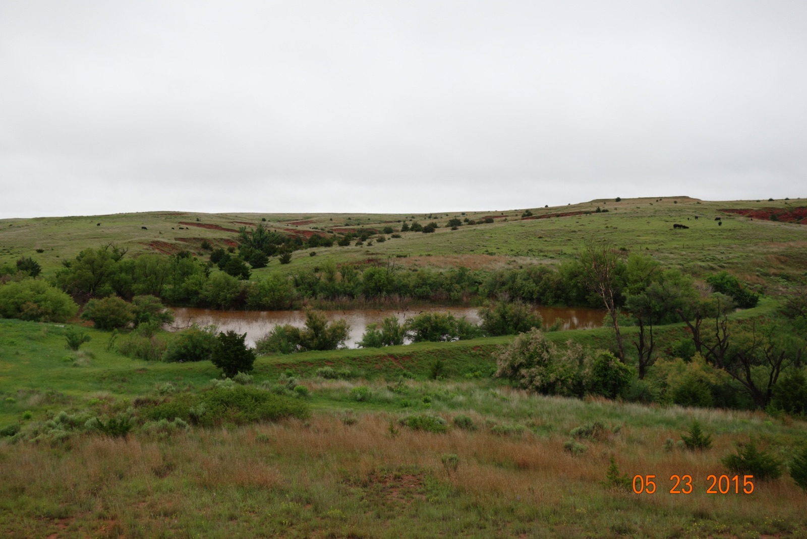
It looked bleak. March was no help, April not so much either. But then we struck
May, and while the Buffalo area didn't enjoy the immense totals most of the
state received, it was enough to take us back to that beautiful beginning point
of May 2009. I'll put the two pics together just for comparison.

I don't know what's in store for this lovely little pond over the next several
years, just as nobody could have guessed its fate when it was so green and lush
(relatively, eastern Oklahomans!!) back in May 2009. What we do know is that
there probably ain't gonna be a lot of rain in the next week or so.
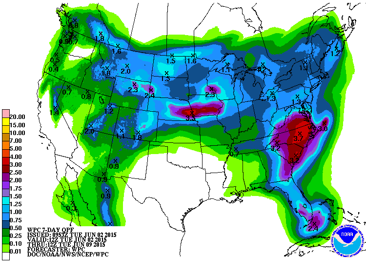
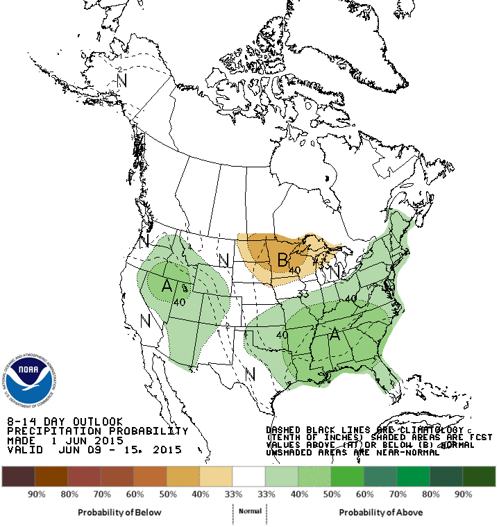
And while there are increased odds of above normal precip the following week,
I can't find a computer model really predicting a huge torrent of rain resembling
those May storms (but those would be fantasy-casts at best anwyay). The odds
aren't overwhelming on this map like they were during most of May, but it would
still be significant since we're still in the wettest part of the year for most
of the state.
We can't forget last June and July either, the 15th wettest on record for the
state.
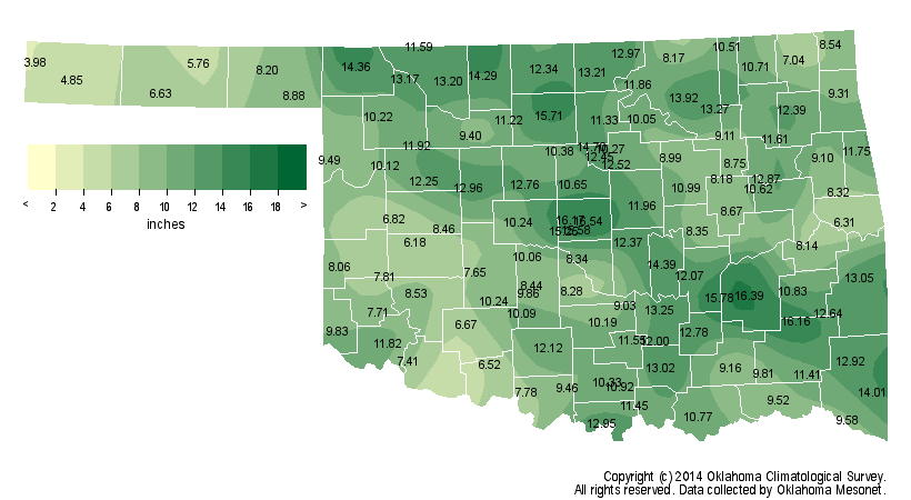
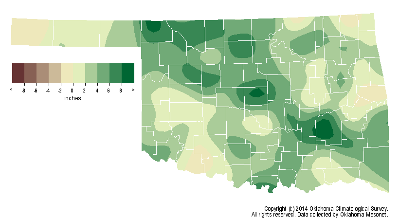
So who knows? Mother Nature, I guess. I have high hopes with El Nino chugging
along in the equatorial pacific that once we get through the summer doldrums
and its influence starts to become important again that we won't see another
8-10 month dry spell after this latest relief.
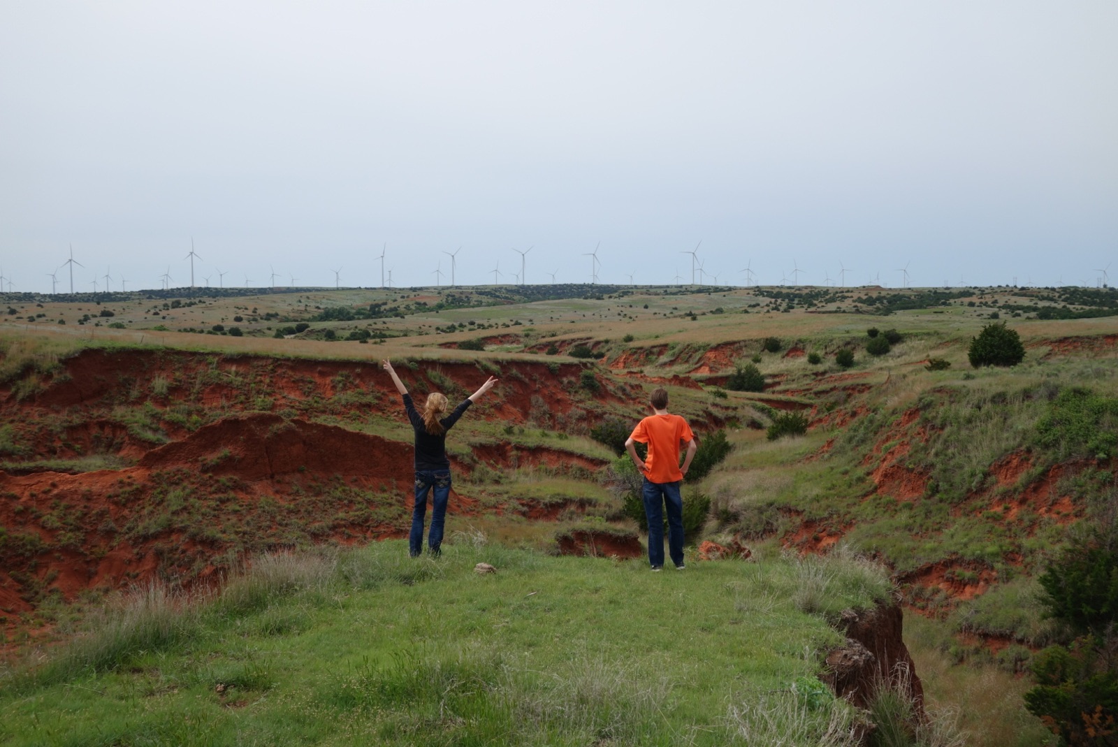
So what do you do when the drought is over, you look over that farm 8 miles
south of Buffalo and you see the beautiful green-covered red dirt cliffs
that have been barren for 5 years?
You feel joy.
Gary McManus
State Climatologist
Oklahoma Mesonet
Oklahoma Climatological Survey
(405) 325-2253
gmcmanus@mesonet.org
June 2 in Mesonet History
| Record | Value | Station | Year |
|---|---|---|---|
| Maximum Temperature | 111°F | MANG | 1998 |
| Minimum Temperature | 42°F | HOOK | 2013 |
| Maximum Rainfall | 5.14 inches | WYNO | 2014 |
Mesonet records begin in 1994.
Search by Date
If you're a bit off, don't worry, because just like horseshoes, “almost” counts on the Ticker website!