Ticker for October 16, 2012
MESONET TICKER ... MESONET TICKER ... MESONET TICKER ... MESONET TICKER ...
October 16, 2012 October 16, 2012 October 16, 2012 October 16, 2012
Warmest year on record, coming through the final turn!
And it's 2012 leading by a length! I thought the horse race to Oklahoma's warmest
year on record tightened up a bit with that cold snap earlier in the month, but
the heat we're seeing now might help 2012 keep its lead for the stretch run. The
official data from NCDC has Oklahoma at 66.9 degrees through the first nine
months of the year, the warmest January-September period since records began in
1895. The year we're battling for the top spot, 1954, still trails with a 66.3
January-September average. That 0.6 degrees is a rather precarious lead, and 1954
still has a heart of a champion. It blazed to the title with a very warm last
half of the year, and 2012 is going to need to keep pace with above normal
temperatures. Here are 1954's stats for the final three months of the year.
-****-
Month Temp Rank since 1895
October 1954 64.2F 17th Warmest
November 1954 50.9F 28th Warmest
December 1954 41.8F 27th Warmest
Jan-Dec 1954 62.8F 1st Warmest
-***-
Now here is where it gets interesting (not really for most people, but most
people don't have the dull expression and even duller personality of a
climatologist) ... if Oklahoma finishes with just normal monthly temperatures
(at least the 1971-2000 normals) for the final three month of the year, 1954
will win by a nose: 62.8 to 62.7(ish).
One caveat in this is that the NCDC data, which is the official data used for
records (about half of the Mesonet stations are used by NCDC) takes a few
months to be finalized. So September's final value probably won't be known
for a couple more months, but they are usually fairly close. Let's say within
a tenth of a degree or two.
So far, the Oct. 1-15 statewide average temperature (Mesonet estimated) is right
at 60.2 degrees, 4.6 degrees below normal. That would not be good for 2012's
chances if it stays below normal. The good news (or bad news, depending on
your personal thoughts on breaking the record) is that despite a cool down
mid-week, it does appear the state will head right back into above normal
territory over the weekend. Keep in mind normal highs are in the low-to-mid 70s
this time of the month, but decrease to the mid-upper 60s by the end of October.
Lows decrease from the low 50s to the mid 40s. That varies by area, of course.
The medium-range outlooks are also favorable for above normal temperatures. Here
are the 6-10 and 8-14 day temperature outlooks from the NWS' CPC. They show
increased odds of above normal temperatures.
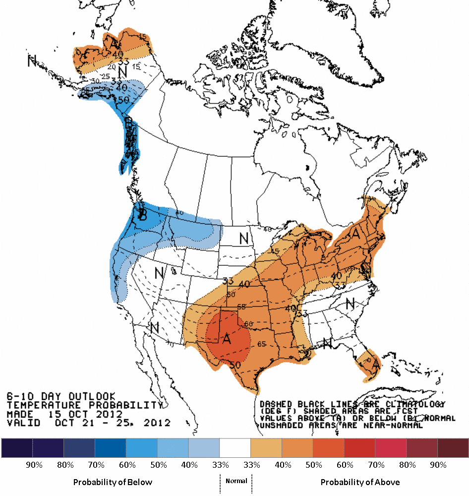
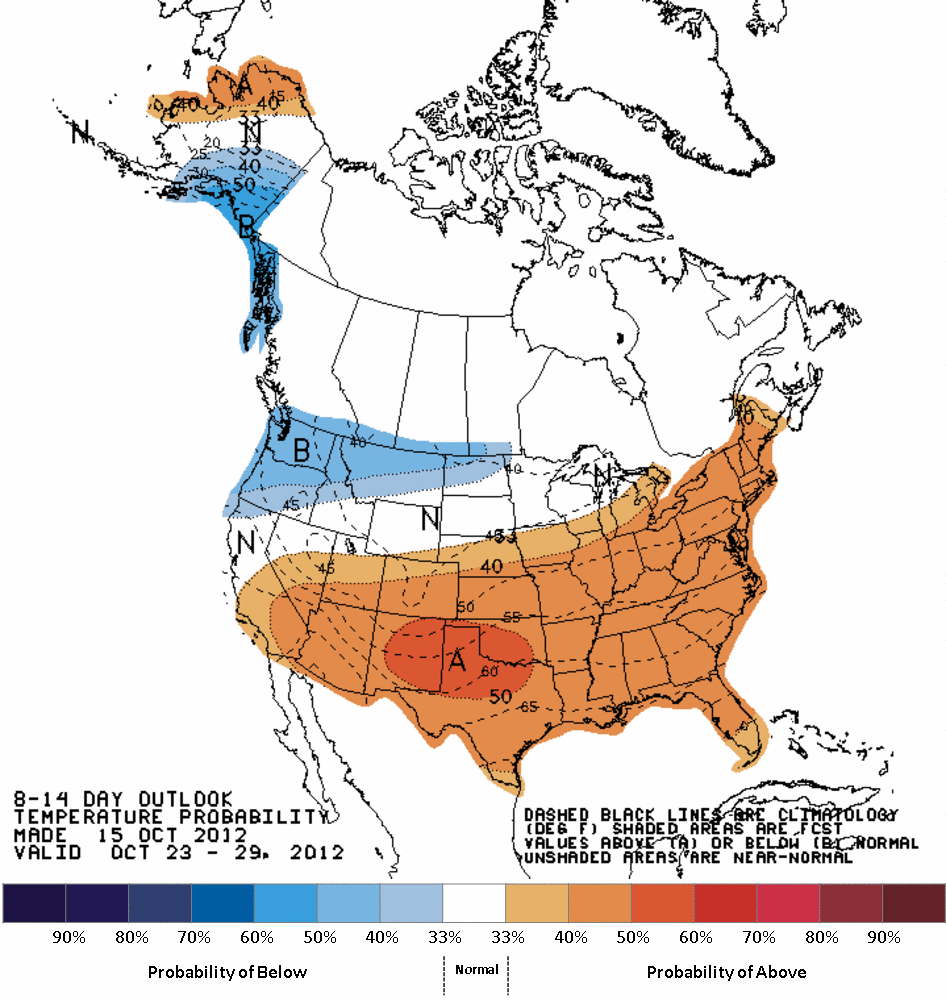
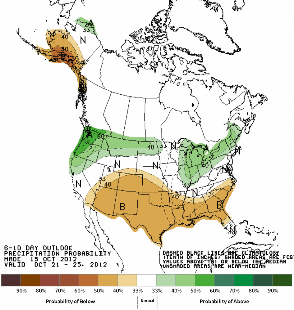
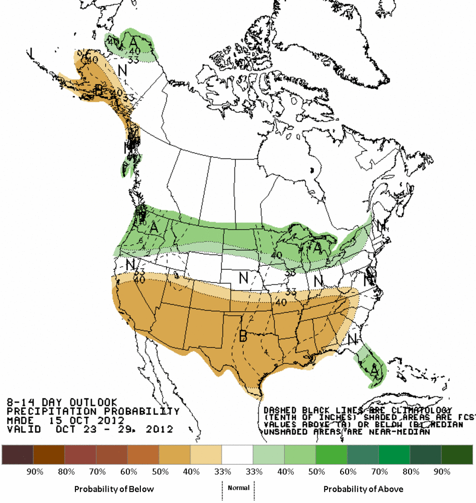
It also looks dry, by the way.
At any rate, it looks like 2012 and 1954 will be neck and neck for the stretch
run, but it does appear that 2012 is starting to fade. The smart money should
probably stay on 1954. If they end up really close, we may not know until a few
months into 2013. Call up the Supreme Court, we might have some hanging chads
to count!
Gary McManus
Associate State Climatologist
Oklahoma Climatological Survey
(405) 325-2253
gmcmanus@mesonet.org
October 16 in Mesonet History
| Record | Value | Station | Year |
|---|---|---|---|
| Maximum Temperature | 102°F | SLAP | 2016 |
| Minimum Temperature | 24°F | SEIL | 2024 |
| Maximum Rainfall | 3.54 inches | HOLL | 1994 |
Mesonet records begin in 1994.
Search by Date
If you're a bit off, don't worry, because just like horseshoes, “almost” counts on the Ticker website!