Ticker for August 8, 2025
MESONET TICKER ... MESONET TICKER ... MESONET TICKER ... MESONET TICKER ...
August 8, 2025 August 8, 2025 August 8, 2025 August 8, 2025
Fryday
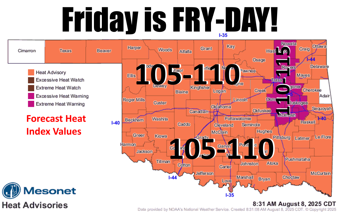
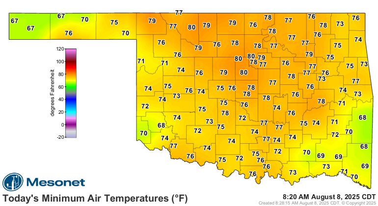
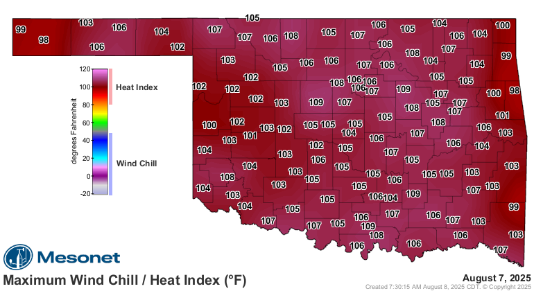
Oof, you know when lows only get down into the upper-70s and low-80s that it's
gonna be a hot day, and today is coming on the heels of the hottest day of the
year thus far YESTERDAY. I swear I felt like a Pop-Tart in a toaster.
Yes, I'm definitely strawberry.
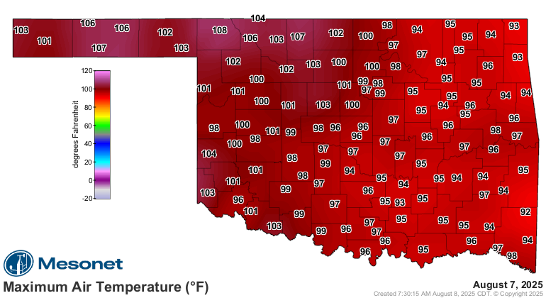
In fact, that 108F at Buffalo (hometown of the hottest State Climatologist
currently serving the State of Oklahoma...okay, there's only one so also the
ugliest) is the highest temperature recorded by the Mesonet in the state since
Freedom (it's not really free) hit 109F back on Aug. 25 of last year.
And today's gonna be hotter.
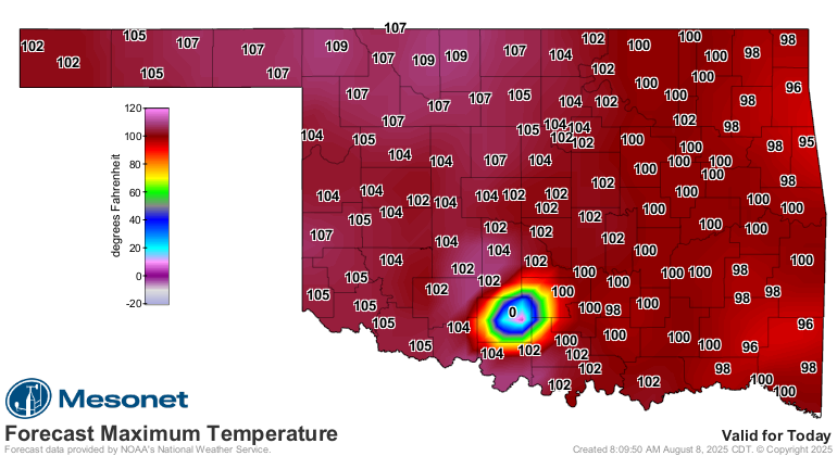
Yeah, I know...that high temperature of 0F looks inviting down at Ketchum Ranch,
but that's a glitch in the forecast files, so don't grab the parkas and sleds
just yet. If you feel like you just gotta, be sure to stay hydrated and seek
shade quite often.
And update your will.
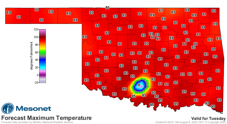
Relief will finally come as we get into early next week, and by relief, I mean
close to normal for this time of year.
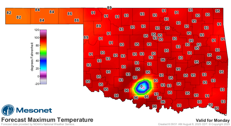
And maybe some rain as we get into Sunday and Monday?
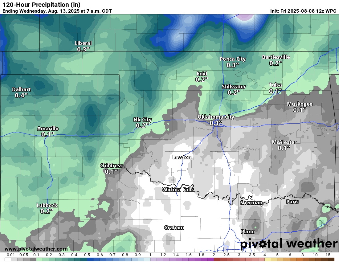
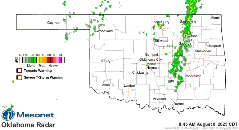
Rain? Heck, it's raining right now for crying out loud!
A lotta August still to go, however. And more Frydays.
Gary McManus
State Climatologist
Oklahoma Mesonet
Oklahoma Climate Survey
gmcmanus@ou.edu
August 8 in Mesonet History
| Record | Value | Station | Year |
|---|---|---|---|
| Maximum Temperature | 111°F | KIN2 | 2011 |
| Minimum Temperature | 53°F | EVAX | 2017 |
| Maximum Rainfall | 4.48 inches | WIST | 2023 |
Mesonet records begin in 1994.
Search by Date
If you're a bit off, don't worry, because just like horseshoes, “almost” counts on the Ticker website!