Ticker for December 6, 2016
MESONET TICKER ... MESONET TICKER ... MESONET TICKER ... MESONET TICKER ...
December 6, 2016 December 6, 2016 December 6, 2016 December 6, 2016
That's not a front. Now THAT'S a front!
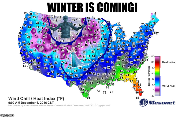
You mix "Frozen" with "Game of Thrones," what do you get? Cold fronts with bad
intentions. That's not to say this first "preliminary" front isn't cold. It's
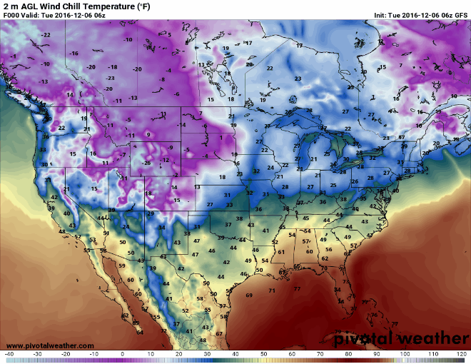
definitely a teeth-rattler out in the wind with wind chills down into the teens
to the NW. Heck, actual temps are in the 20s up that way.

But alas, whilst this first front is a more whimsical (not really!) view of winter,
something more dark and foreboding approaches from farther north. Now you can see
my rudimentary attempts at front locations on that crayon-ish map. Yes, the first
front is just about through the state, and yes, there is an even more powerful
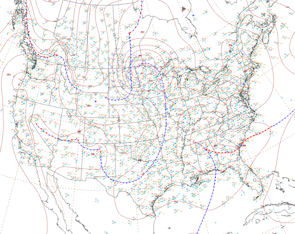
cold front plunging south through the Northern Plains. Here's an official surface
weather map to give you a better idea.
You've seen the wind chills with my first map, and here are the actual air
temperatures with that second front.
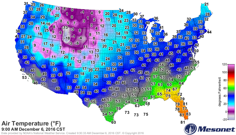
Man, Florida looks nice right about now, don't it? Well, this will be a 49 state
chill. Hawaii misses out, Alaska is getting (or already gotten) theirs, and
Florida's time is coming.
Just watch as the purple hoard invades from the north over the next 72 hours,
courtesy of PivotalWeather.com and the GFS forecast model.
Keep watch to the Mesonet maps around noon-ish tomorrow in the NW and await your
fate.
Gary McManus
State Climatologist
Oklahoma Mesonet
Oklahoma Climatological Survey
(405) 325-2253
gmcmanus@mesonet.org
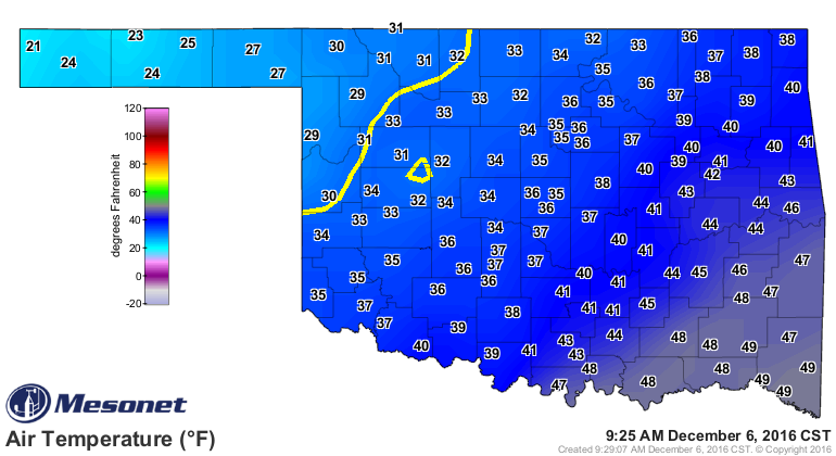
December 6 in Mesonet History
| Record | Value | Station | Year |
|---|---|---|---|
| Maximum Temperature | 77°F | ANTL | 2001 |
| Minimum Temperature | -6°F | KENT | 2011 |
| Maximum Rainfall | 1.31 inches | OKEM | 2004 |
Mesonet records begin in 1994.
Search by Date
If you're a bit off, don't worry, because just like horseshoes, “almost” counts on the Ticker website!