Ticker for August 6, 2012
MESONET TICKER ... MESONET TICKER ... MESONET TICKER ... MESONET TICKER ...
August 6, 2012 August 6, 2012 August 6, 2012 August 6, 2012
Fuel for the fires: blame it on February (and January, and March, and...)
A trip this weekend to the best place in the whole universe, Buffalo, not only
yielded clues to our state's recent bouts with fire danger, but also confirmed
what we had worried about months ago. Our early-and-often warmth and moisture,
while providing a great recovery from last year's drought, also left us swimming
in an ocean of dead or dormant vegetation (i.e., fuel for wildfires) when
drought returned.
Let's take a trip back all the way to February 28. The Ticker for that day
showed (or tried to show) how the unusual warmth and moisture throughout the
winter had accelerated the vegetative growth across the U.S., and particularly
Oklahoma.
*******
From the February 28 Ticker:
"The final map we see is the Departure from Average (DA) map. This map compares
how green it is now compared to the average greenness for the week of Feb 14-20
from 1989-2003. Now it becomes clear what that warmth has done to speed up the
clock on plants coming out of dormancy across most of the U.S. A few areas are
very much more green than they usually are this time of the year, at least
based on data from Feb. 14-20, 1989-2003."
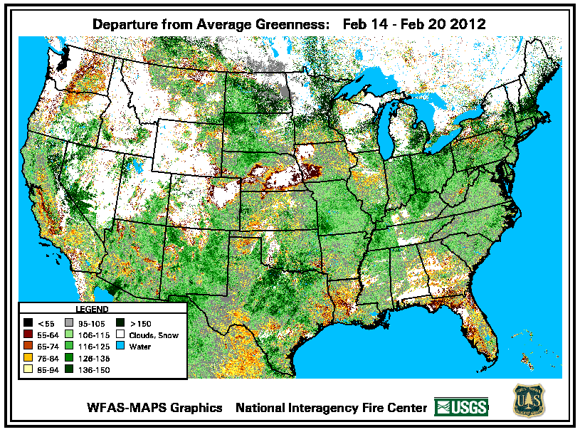
Heck, in a rare bit of actual prescience, we worried about what might happen
with all of that green-up! Again, quoting that Ticker:
"Another concern would be additional growth of vegetation before spring that
could lead to increased wildfire danger through added fuel potential should
drought intensify. That could send that additional growth back into dormancy
leaving it more susceptible to fire."
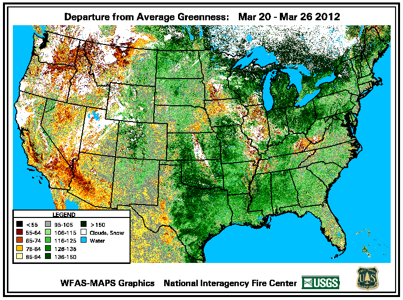
We went through the same spiel a month later with more greenness maps.
*********
Okay, back to the present. Let me offer a few observations from my trip to the
great northwest. Never have I seen our state so YELLOW, except for during the
winters around here, and maybe not even then. We have been fried/baked/broiled
to a lovely golden brown by one of the worst combinations of heat and drought
in state history (last year notwithstanding). But let's talk about last year.
I drove all across the state talking drought last year (sometimes to people,
sometimes muttering to myself). I remember much less "yellow" and much more
"brown." And therein lies the difference!
As noted previously, this winter and early spring were unusually wet and warm.
The October 2011-March 2012 period was the 13th wettest and 3rd warmest on
record, dating back to 1895. March was the warmest and sixth wettest. In
contrast, October 2010-March 2011 was the seventh driest. That's the difference
between a green spring and a brown spring, and therefore a brown summer and
a yellow summer. There was not much in the way of leftover vegetation from
wheat harvest or the spring hay cuttings last year like this year, nor was there
much pasture growth to become fuel. A much different story this year.
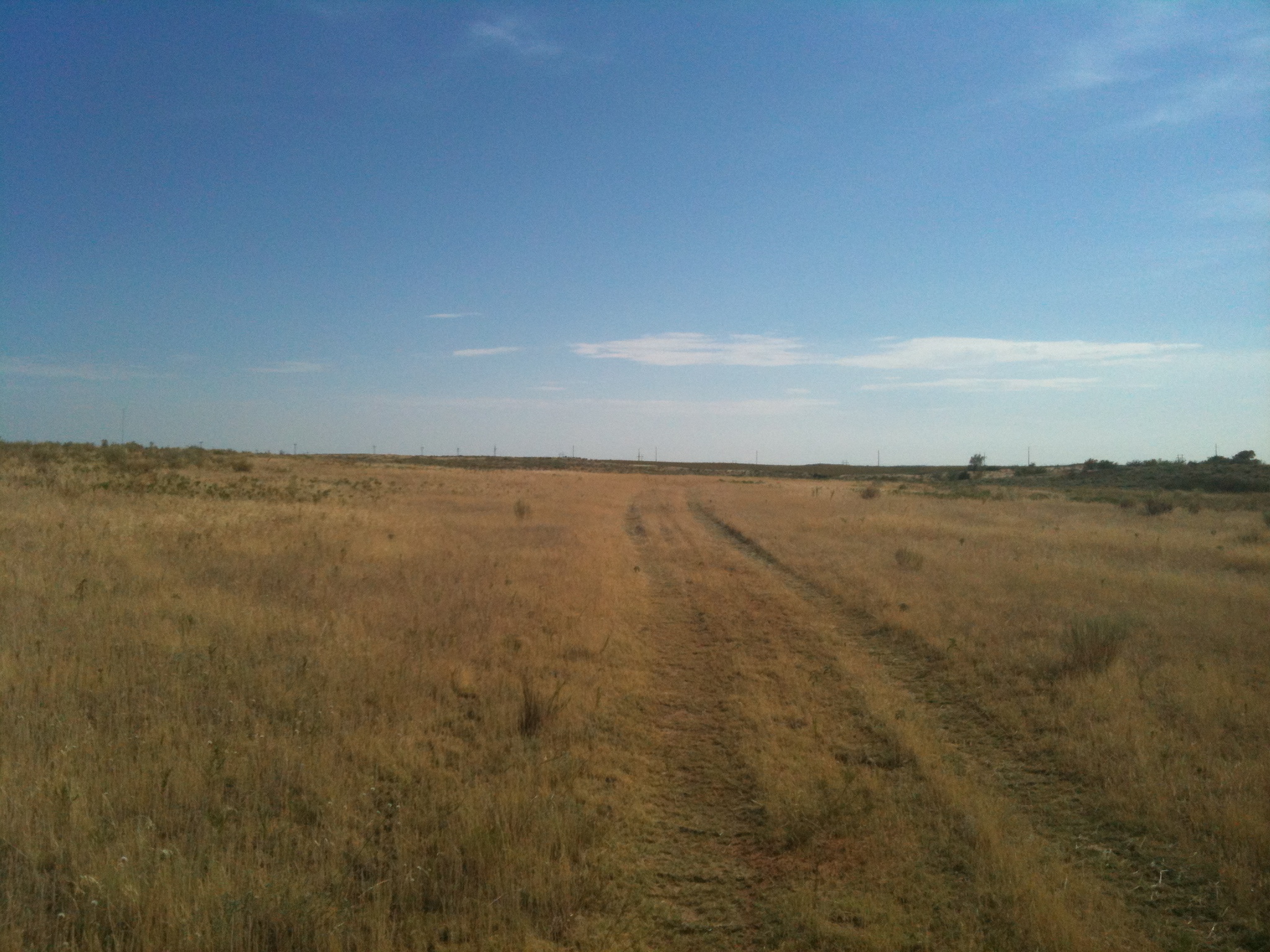
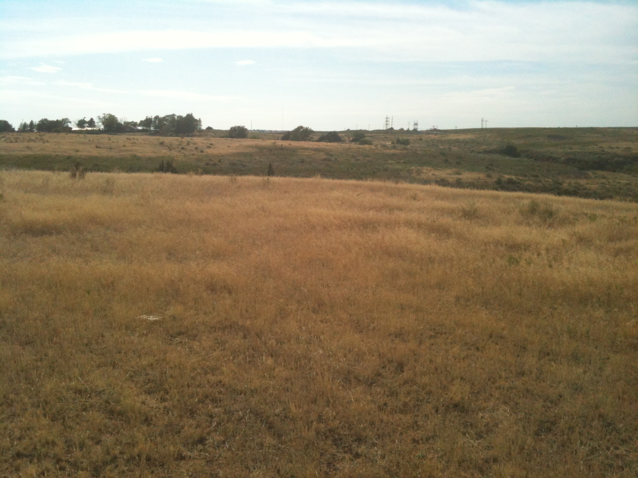
The proof is in the pictures. Take a look at some of my snaps from yesterday.
First off, many of you will remember the demise of my favorite place on the
planet, the little farm pond south of Buffalo where I grew up fishing. It has
become a symbol of what has occurred across western Oklahoma (and the rest of
the state off-and-on) over the last three years. Here is it's journey, in
pictures:
Times of plenty: 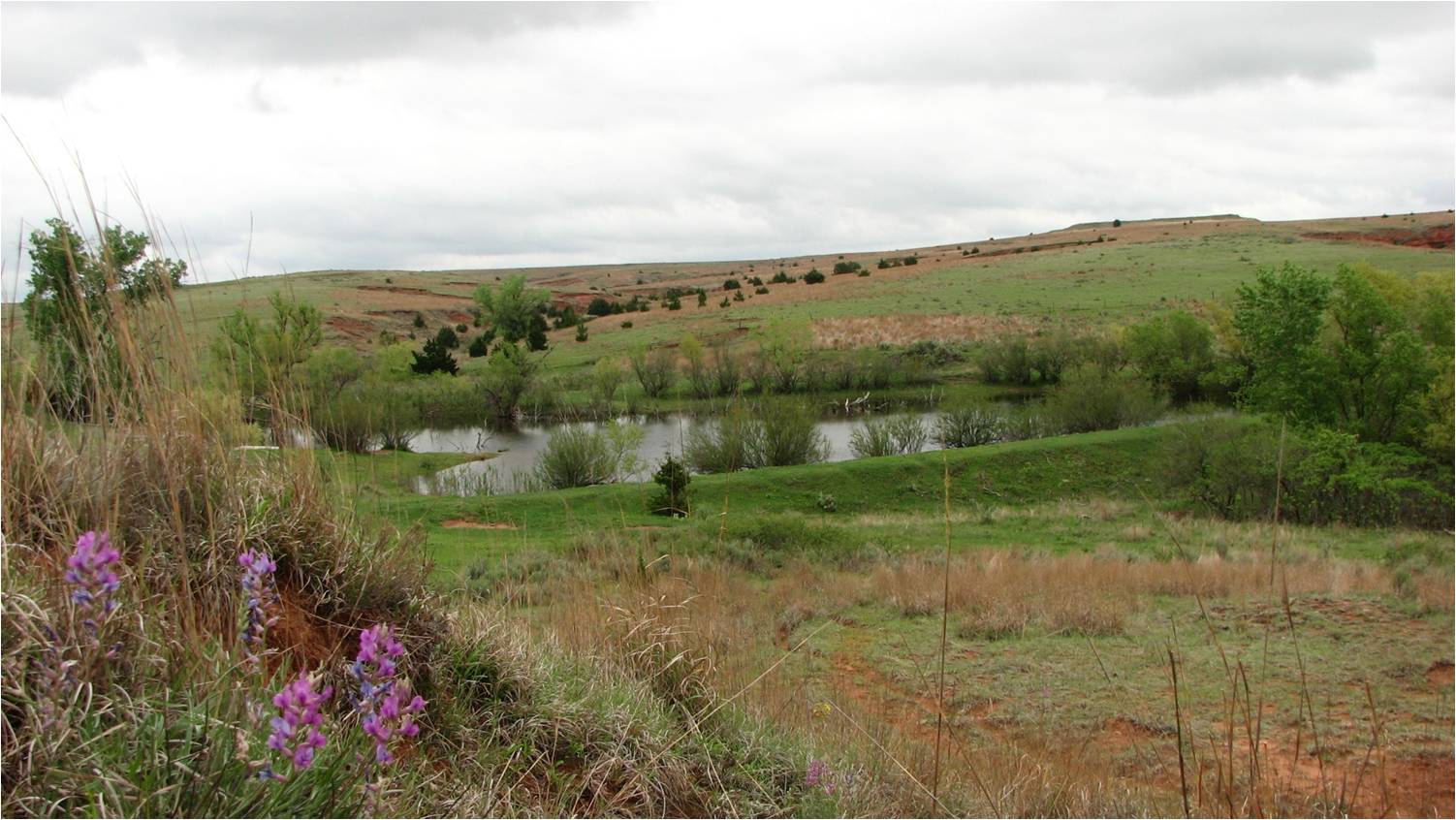
Uh oh: 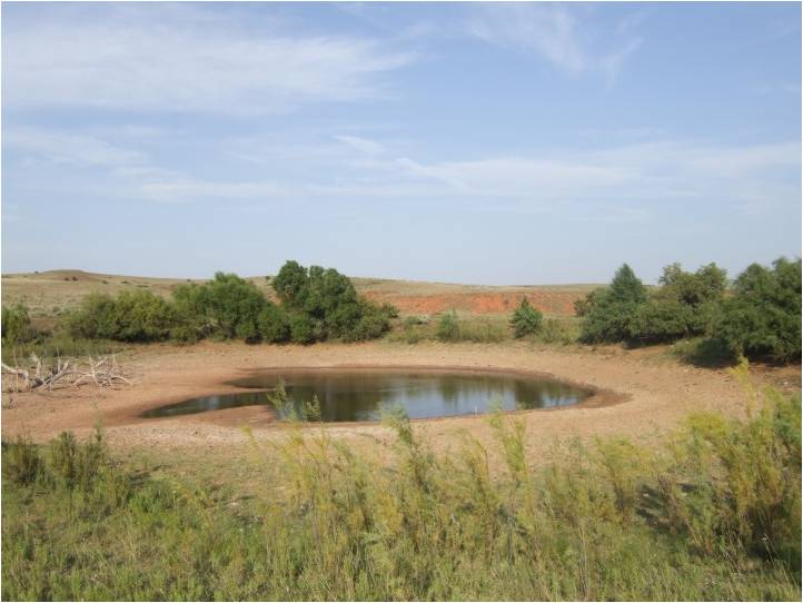
Nothing bitin': 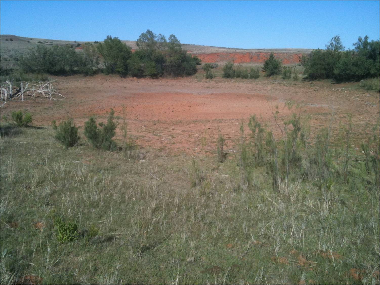
Pave it: 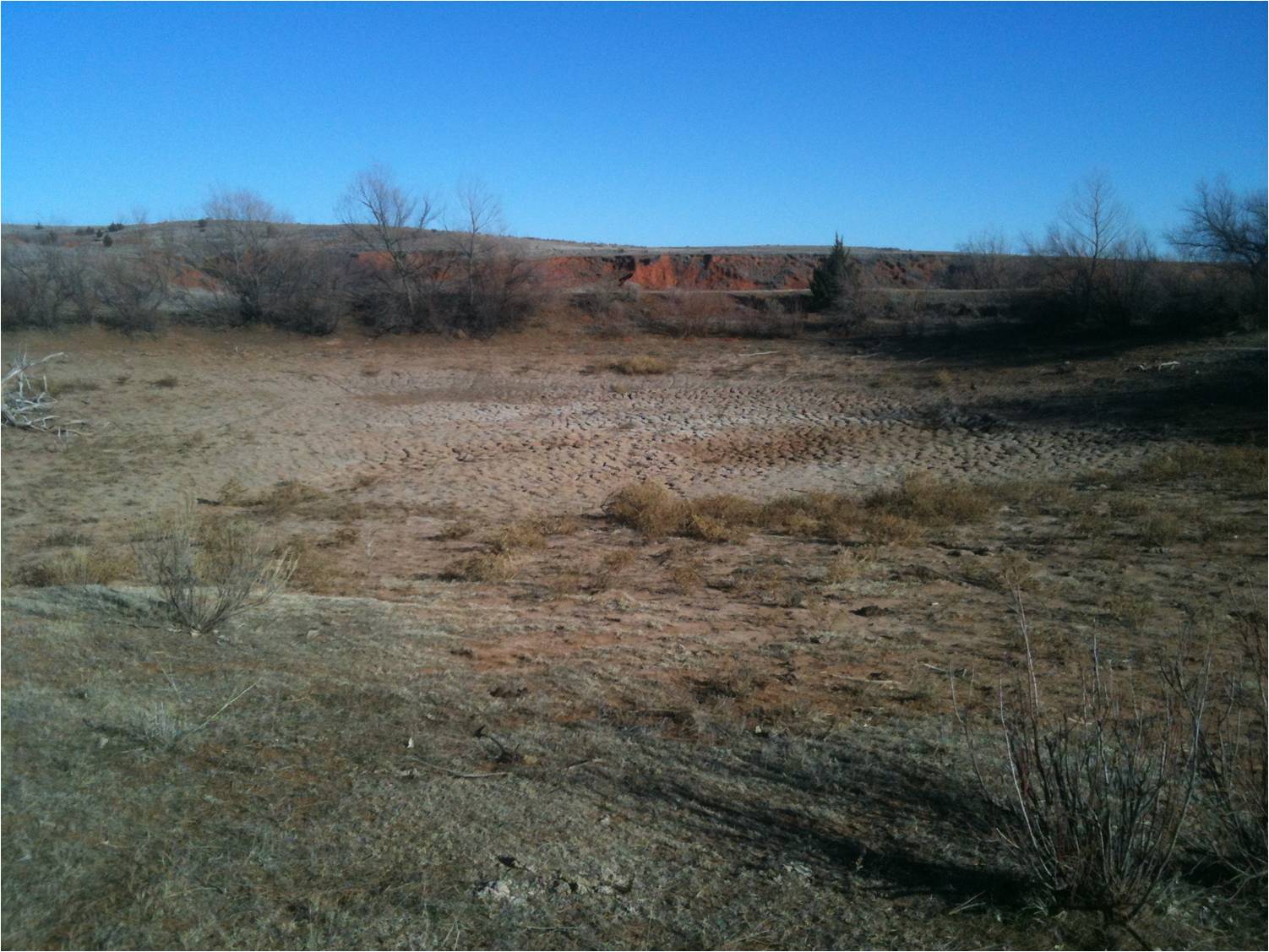
Anyday now: 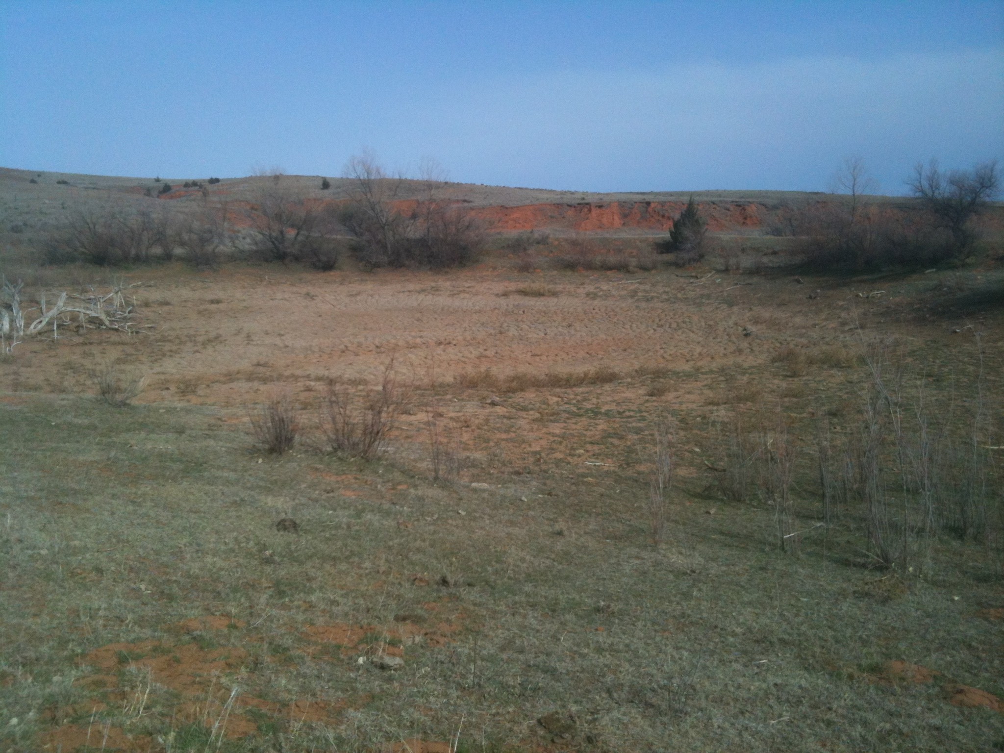
Still not biting: 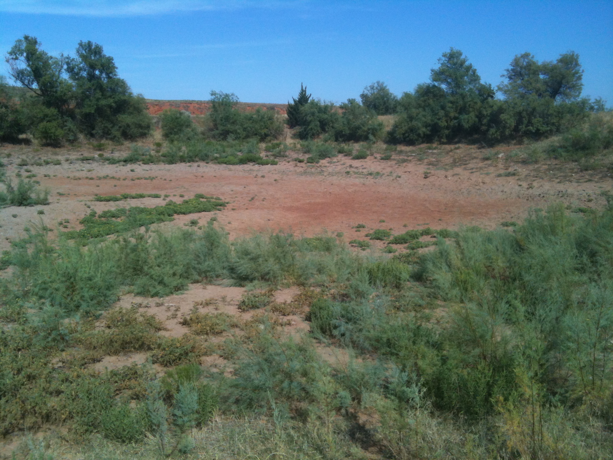
That is after the Buffalo area received 3-4 inches of rain since July 1. A clear
sign that the water table has dropped in that area, to keep a spring-fed pond
like that one dry. That also corroborates the impact statements we were given
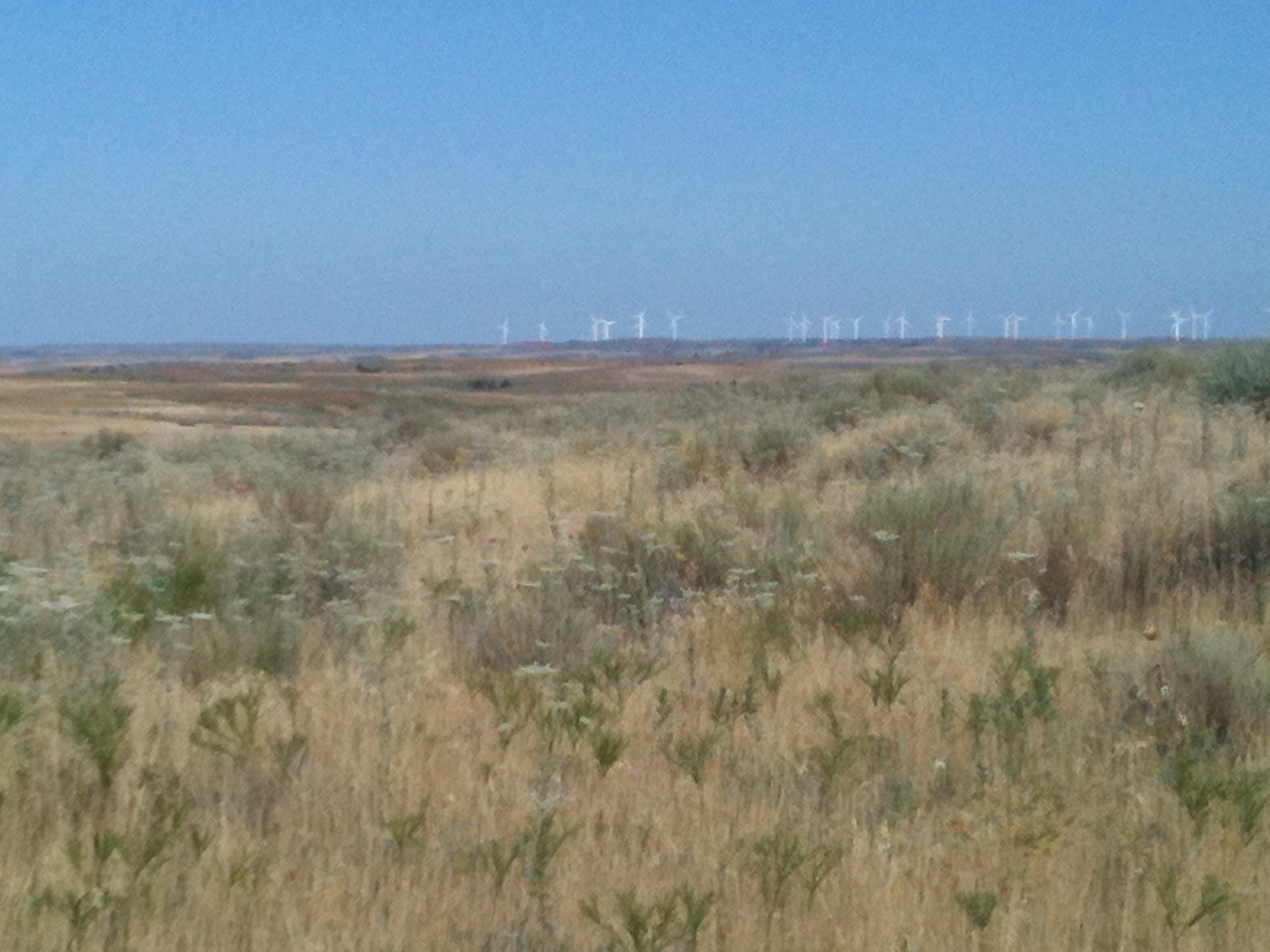
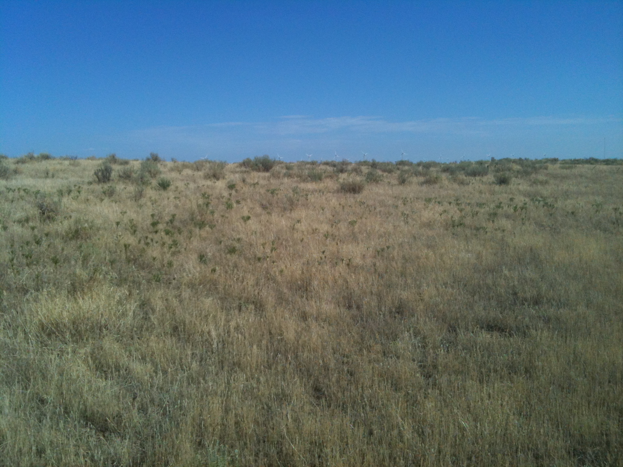
from the northwest of other ponds never recovering from last year, and windmills
no longer producing water. That is the impact of two straight years of significant
drought. I saw many such ponds on my way northwest, some completely dry and
some barely hanging on. The latter of which you would not want any living thing
to take a drink from (except maybe cheat grass).
The western half of the state is a sea of cheat grass. This nasty stuff has
covered all available pasture thanks to the previous moisture. Anybody who
has ever walked through it would recognize it instantly, even as you worked
for the next several hours removing its seeds from your socks.
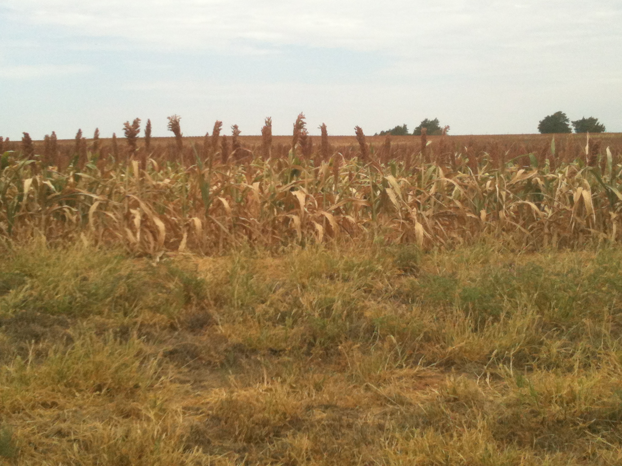
Here's some maize in Custer County that is not faring too well.
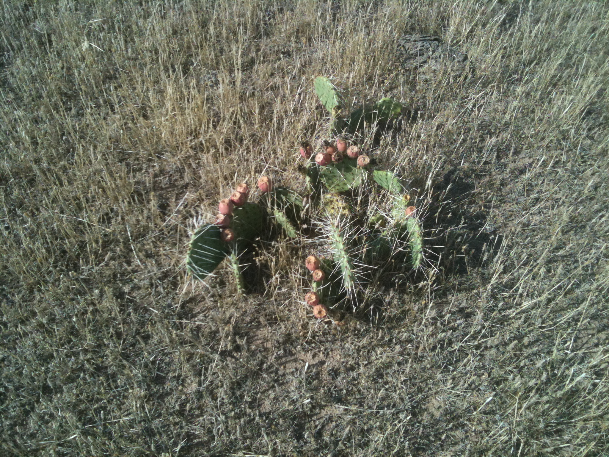
Something that is actually doing quite well (I saw more of it that I have
even seen out that way ... I'm hoping that doesn't mean anything).
Here is what the median along I-40 looks like on the west sides of Oklahoma
County. Yellow. Yellow as far as the eye can see. It's quite odd to see all
those green trees within the yellow. Seems out of place. If not for that, you
would swear this was a picture from a drive to Grandma's house for Christmas!
With all that "yellow" out there, we will remain in high/very high fire danger
until we start to see some relief. More importantly, we will encounter periods
of extreme fire danger, the type we saw last weekend, whenever the right type
of weather conditions come along (i.e., extreme heat, low relative humidity
and strong winds).
The state is a powder keg, waiting to go off. All it needs is a light (and
the proper weather conditions).
Gary McManus
Associate State Climatologist
Oklahoma Climate Survey
(405) 325-2253
gmcmanus@mesonet.org
August 6 in Mesonet History
| Record | Value | Station | Year |
|---|---|---|---|
| Maximum Temperature | 112°F | OKMU | 2011 |
| Minimum Temperature | 54°F | BOIS | 1998 |
| Maximum Rainfall | 6.70″ | HUGO | 2017 |
Mesonet records begin in 1994.
Search by Date
If you're a bit off, don't worry, because just like horseshoes, “almost” counts on the Ticker website!