Ticker for July 8, 2019
MESONET TICKER ... MESONET TICKER ... MESONET TICKER ... MESONET TICKER ...
July 8, 2019 July 8, 2019 July 8, 2019 July 8, 2019
Tropical Magic?
What, you want another summer-themed Ticker, telling you how hot and steamy it's
been, or hasn't been, or is going to be? Okay, how's this?
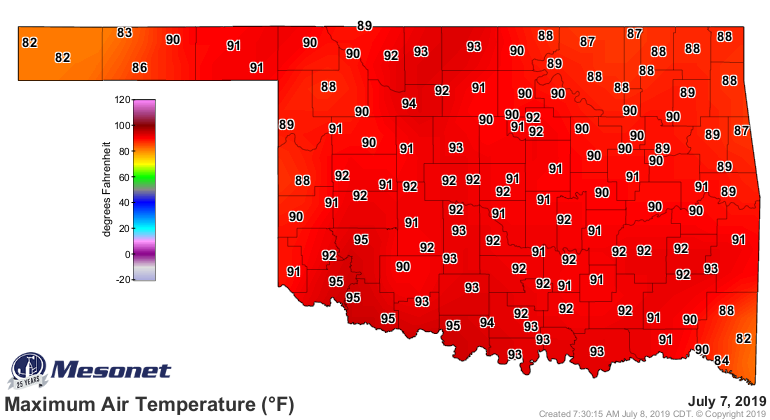
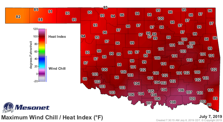
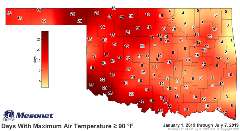
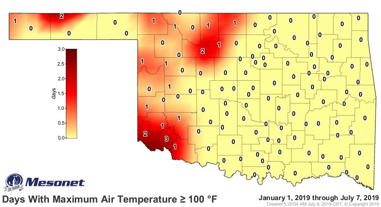
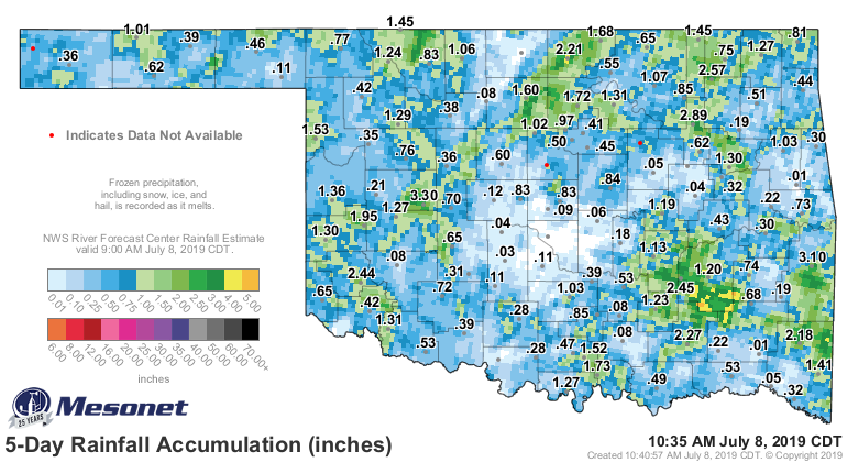
So that's your summer thus far in a nutshell. It's been hot, but not too hot. It's
been steamy, but not too steamy. Some hundreds, more 90s, but not too bad. It
rains every once in awhile in most places, but not everyplace most whiles. Errr,
yeah. And it's going to be more of the same as we go forward.
So why not transform today's Ticker from the vagaries of our mundane summer
weather to the sublime wonderment of fantasy forecasts? Good point, it is
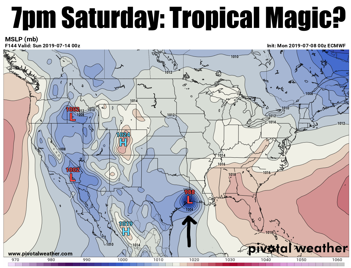
unprofessional, but we'll do it anyway. Something exciting is brewing in Georgia,
and I don't mean the Devil looking for a soul to steal. No, we're talking about
a low pressure system that's going to slowly meander its way from Georgia down
into the Gulf Coast. Once it gets over those warm, moisture-rich tropical waters,
it has a chance to form into a tropical system of some sort...a tropical
depression is the goal at this point. The National Hurricane Center has it
painted on it's 5-day outlook with an 80% chance of tropical cyclone development.
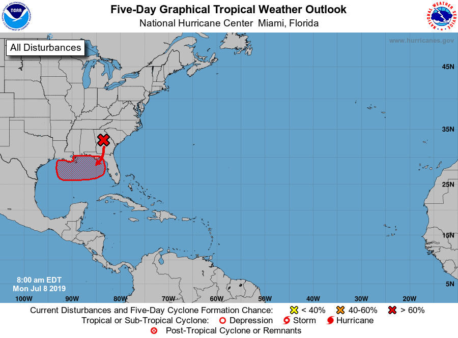
"A trough of low pressure located over central Georgia is forecast to
move southward toward the northeastern Gulf of Mexico, where a broad
area of low pressure is expected to form in a couple of days. Some
gradual development is possible thereafter and a tropical depression
is likely to form by the end of the week while the low meanders near
the northern Gulf Coast."
Now once it forms, if it does go ahead and form, where it goes is sort of a
mystery at this point. But at least ONE model does have it moving west and then
NW into the ArkLaTex and eastern Oklahoma. The good old European Model.
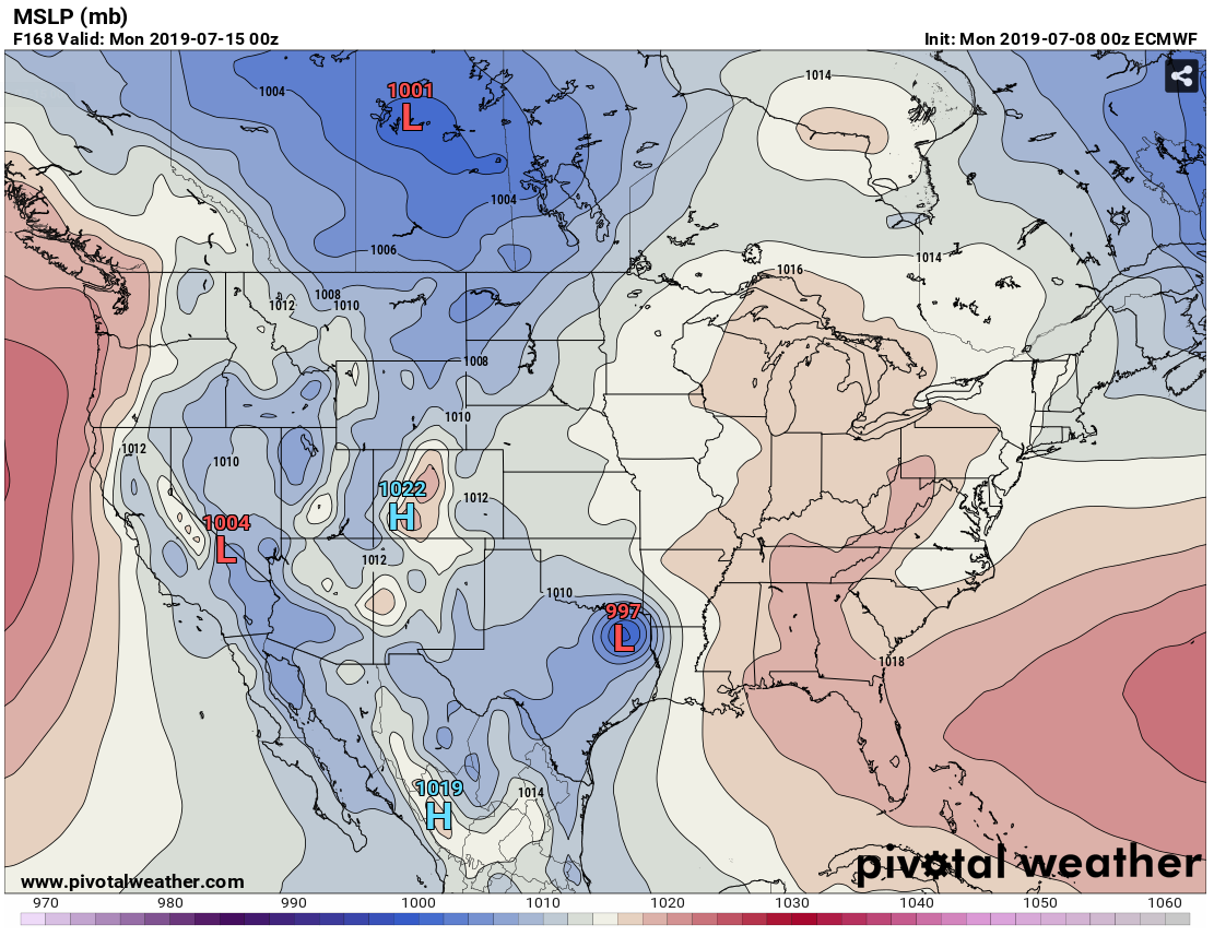
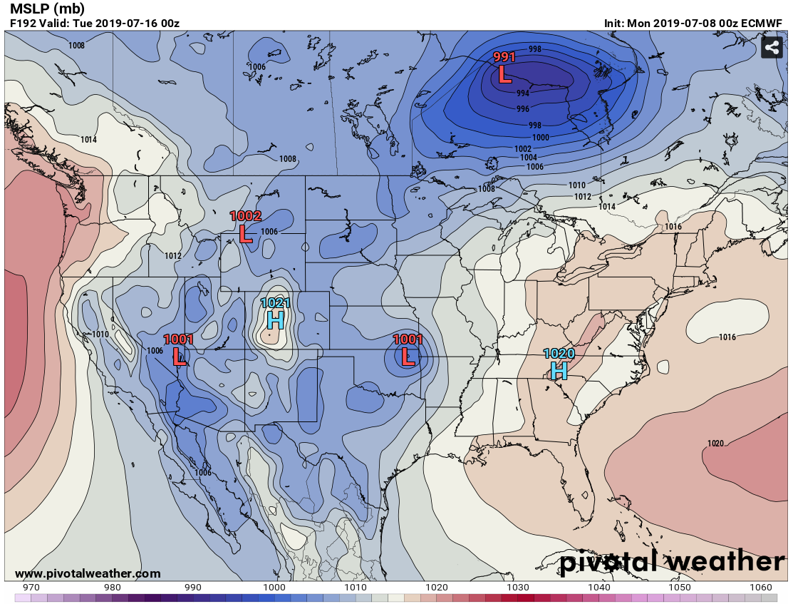
At this point, as stated, it is a fantasycast. But we're throwing it out there
as something to watch, because frankly, there ain't much else to watch other
than heat indices and popcorn thunderstorms. Our chances for a visit might
disappear in the next model run. Or it might start showing up in other forecast
models.
Poof! Just like that. It's magic.
Gary McManus
State Climatologist
Oklahoma Mesonet
Oklahoma Climatological Survey
(405) 325-2253
gmcmanus@mesonet.org
July 8 in Mesonet History
| Record | Value | Station | Year |
|---|---|---|---|
| Maximum Temperature | 109°F | WAL2 | 2022 |
| Minimum Temperature | 50°F | WIST | 2006 |
| Maximum Rainfall | 4.99″ | STUA | 2015 |
Mesonet records begin in 1994.
Search by Date
If you're a bit off, don't worry, because just like horseshoes, “almost” counts on the Ticker website!