Ticker for January 12, 2015
MESONET TICKER ... MESONET TICKER ... MESONET TICKER ... MESONET TICKER ...
January 12, 2015 January 12, 2015 January 12, 2015 January 12, 2015
Deja vu all over again
Didn't we do this already in December, the endless days with no sunshine, dreary
and damp with no end in sight? Well, we DID do it during December (remember,
December ended with the lowest amount of possible sunshine for that month since
the Mesonet began in 1994), but this one is a bit of a different story. For
instance, there IS an end in sight
50s coming up later this week? I'm in! Also a bit different is that we've actually
been much cooler during January than we were for most of December. All that
cloudiness/moisture/fog/etc., and lack of arctic air kept temperatures up overnight
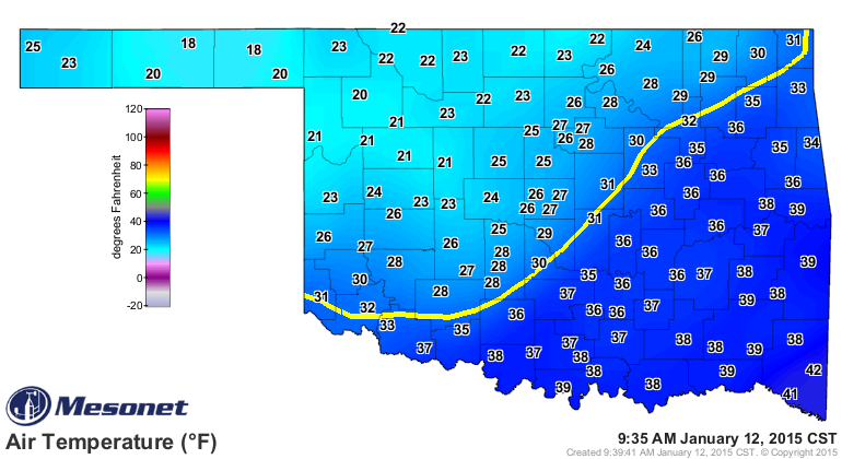
but right around normal for daytime highs. No such luck this month, where we're
running 3.5 degrees below normal for highs and 4.5 degrees below normal for lows.
So while we dealt with lots of fog and drizzle and then a bit of arctic-ness at
the end of December, January has been sort of the opposite (including the ice
this weekend down in the southeast, and today's arctic front moving through as
we speak).
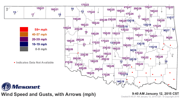
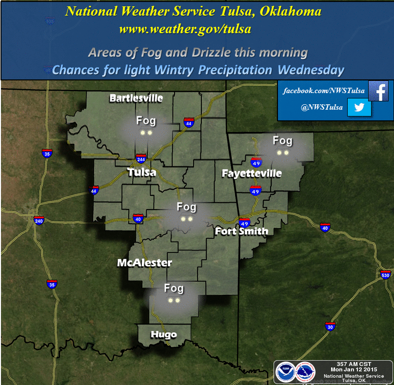
Check out the Mesonet wind map. You can still see where southeastern Oklahoma
was impacted by that freezing drizzle.
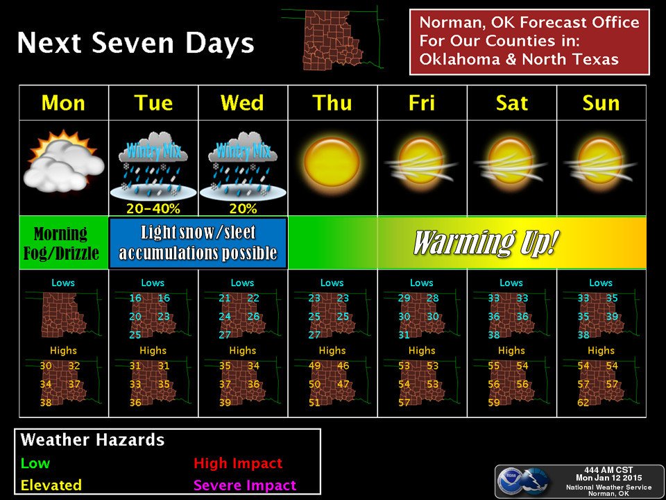
All that together sets us up for some messy weather over the next few days as
we await those 50s later this week. This does not look like a major event, and
only minor impacts are expected at this time. Mostly travel-related impacts,
as a bit of ice will go a long way.
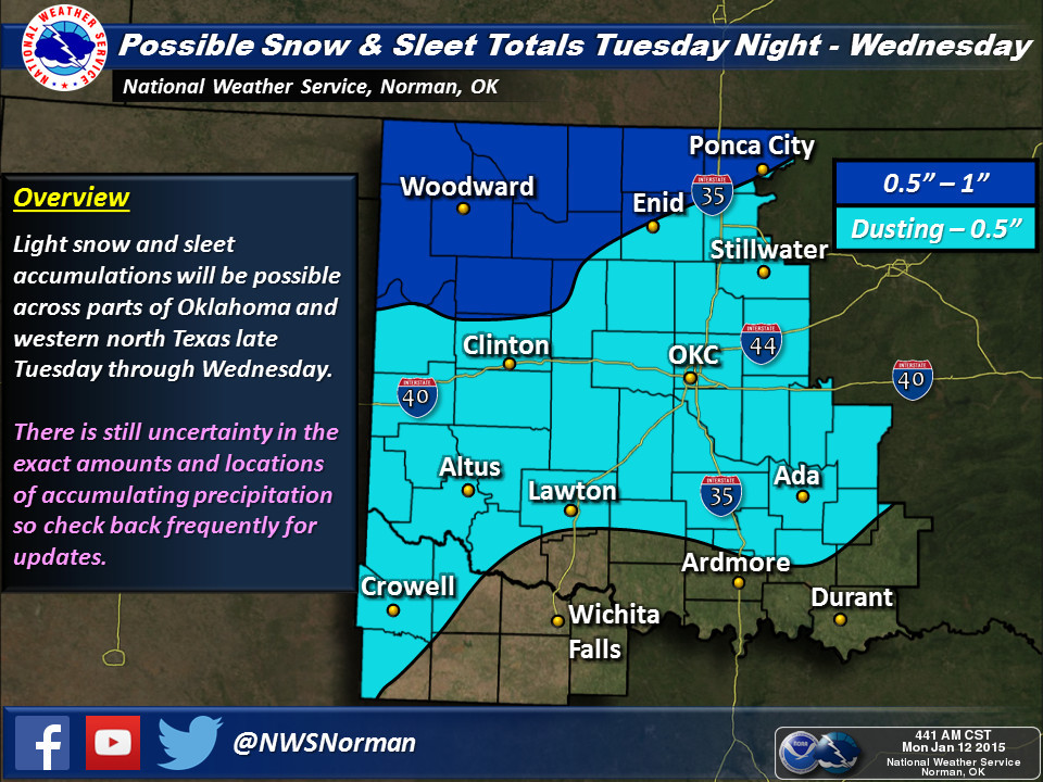
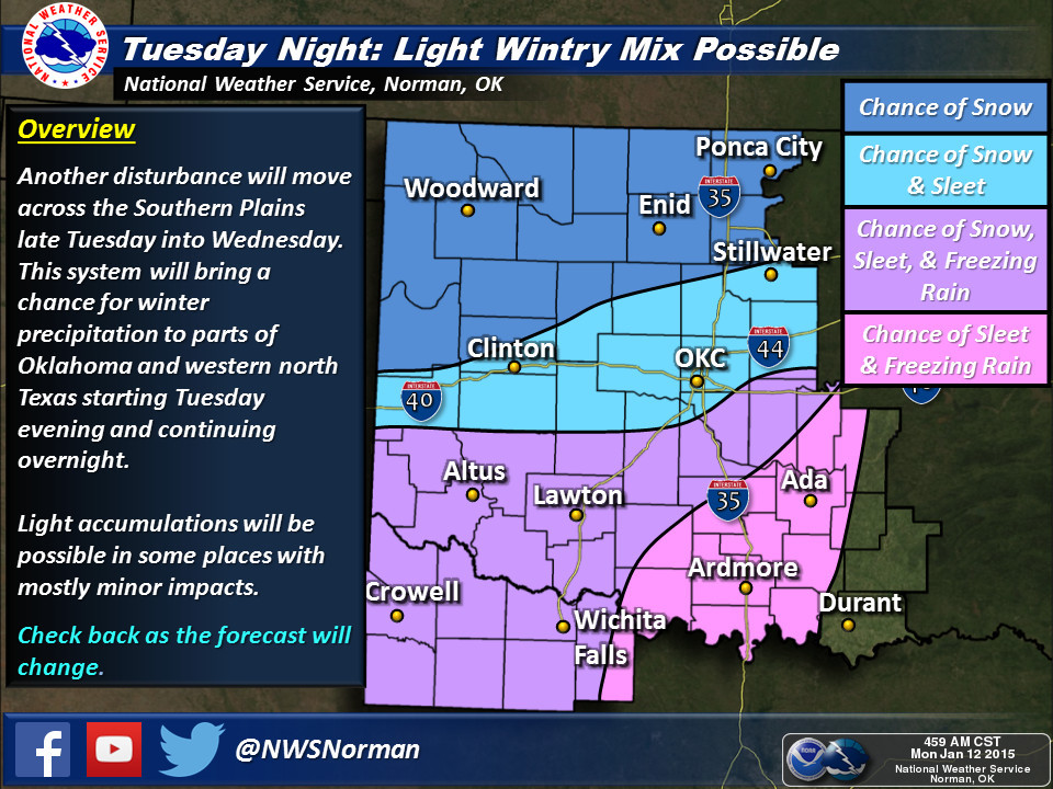
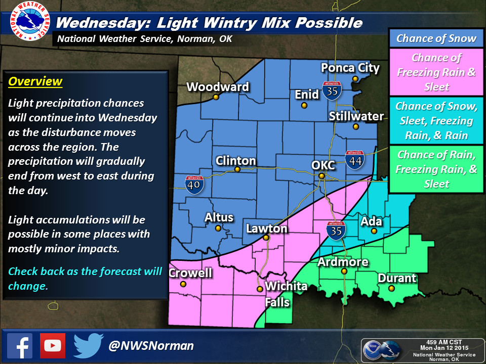
So that's good news and band news...we sort of need a major event, but we don't
necessarily want that to be of the frozen variety. So, we get a minor winter
event but also minor moisture production.
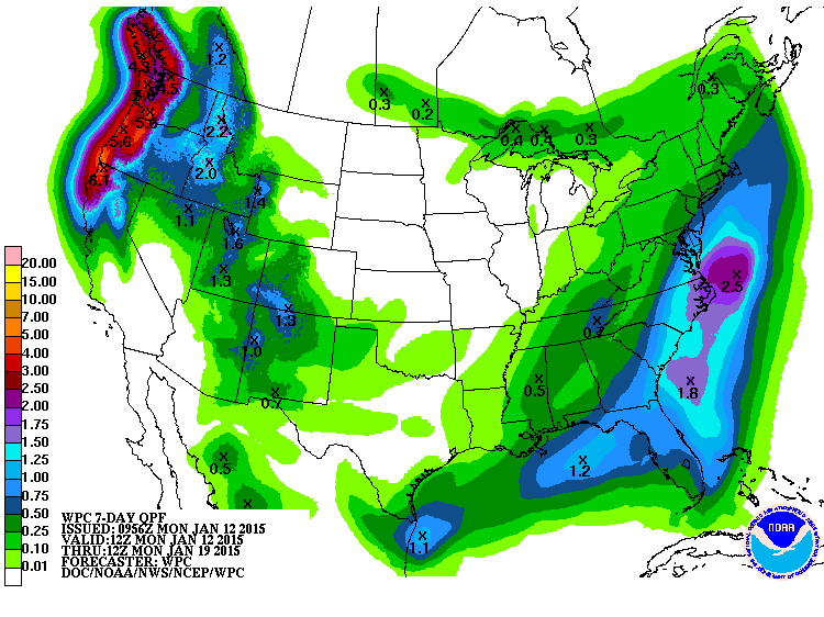
Given the lack of moisture, but the possibility for a bit of ice here and there
(with some snow in the NW...an inch maybe, piece of cake for those folks), we're
setting the DEF-BRAUMS LEVEL at a solid FOUR.
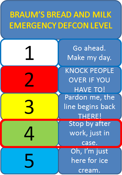
Stay warm, stay safe, and stay bread-and-milk aware.
Gary McManus
State Climatologist
Oklahoma Mesonet
Oklahoma Climatological Survey
(405) 325-2253
gmcmanus@mesonet.org
January 12 in Mesonet History
| Record | Value | Station | Year |
|---|---|---|---|
| Maximum Temperature | 80°F | BURN | 2000 |
| Minimum Temperature | -1°F | NEWK | 2011 |
| Maximum Rainfall | 2.10″ | DURA | 2007 |
Mesonet records begin in 1994.
Search by Date
If you're a bit off, don't worry, because just like horseshoes, “almost” counts on the Ticker website!