Mesonet Ticker for July 30, 2026
MESONET TICKER ... MESONET TICKER ... MESONET TICKER ... MESONET TICKER ...
July 30, 2026 July 30, 2026 July 30, 2026 July 30, 2026
You'll be back
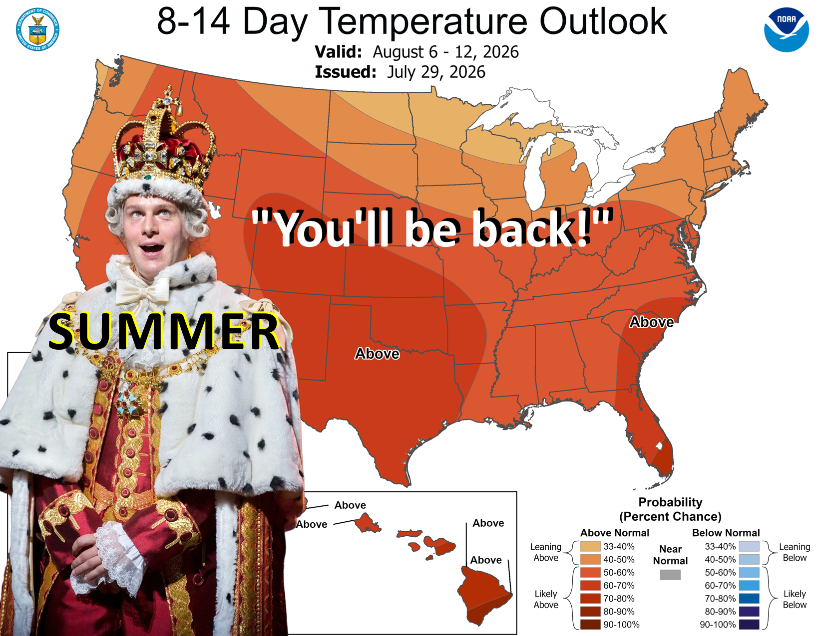
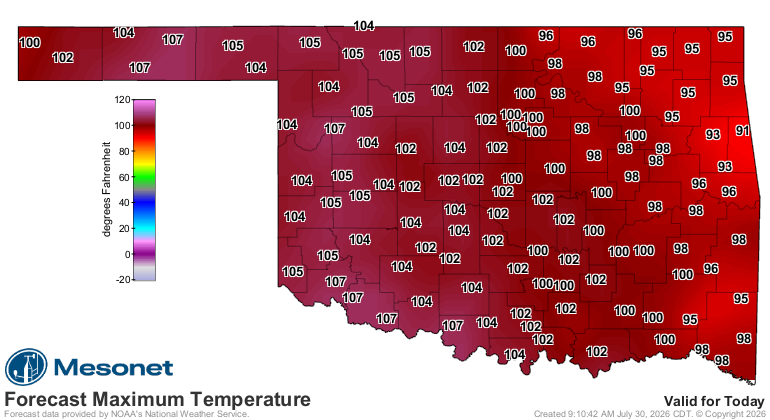
I'm officially off today (WAYYY off), and I have like 5 minutes to Ticker, but
just thought I'd spread the good news that, after a nice break from the heat
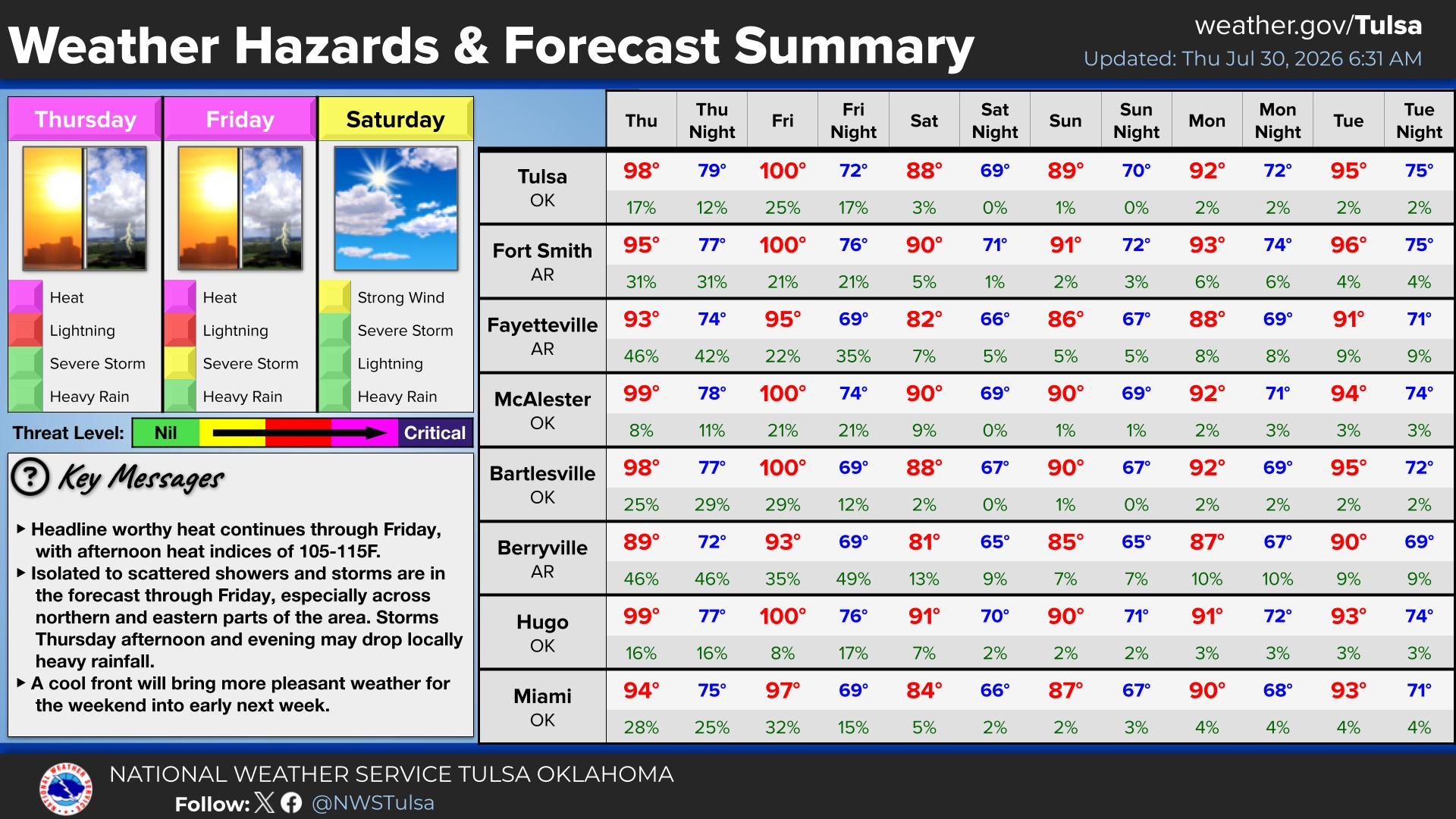
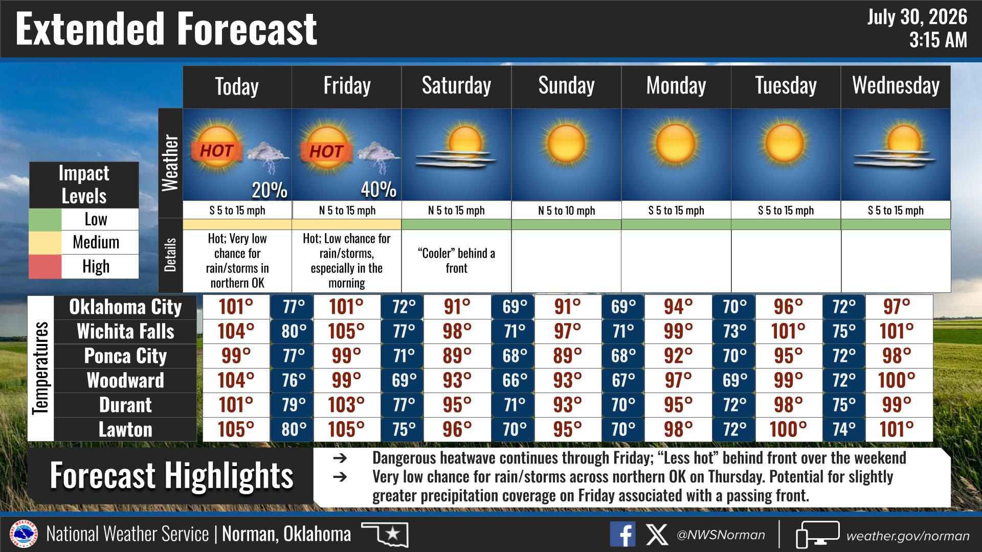
this weekend, it will be BACK next week in full force.
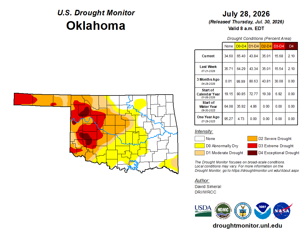
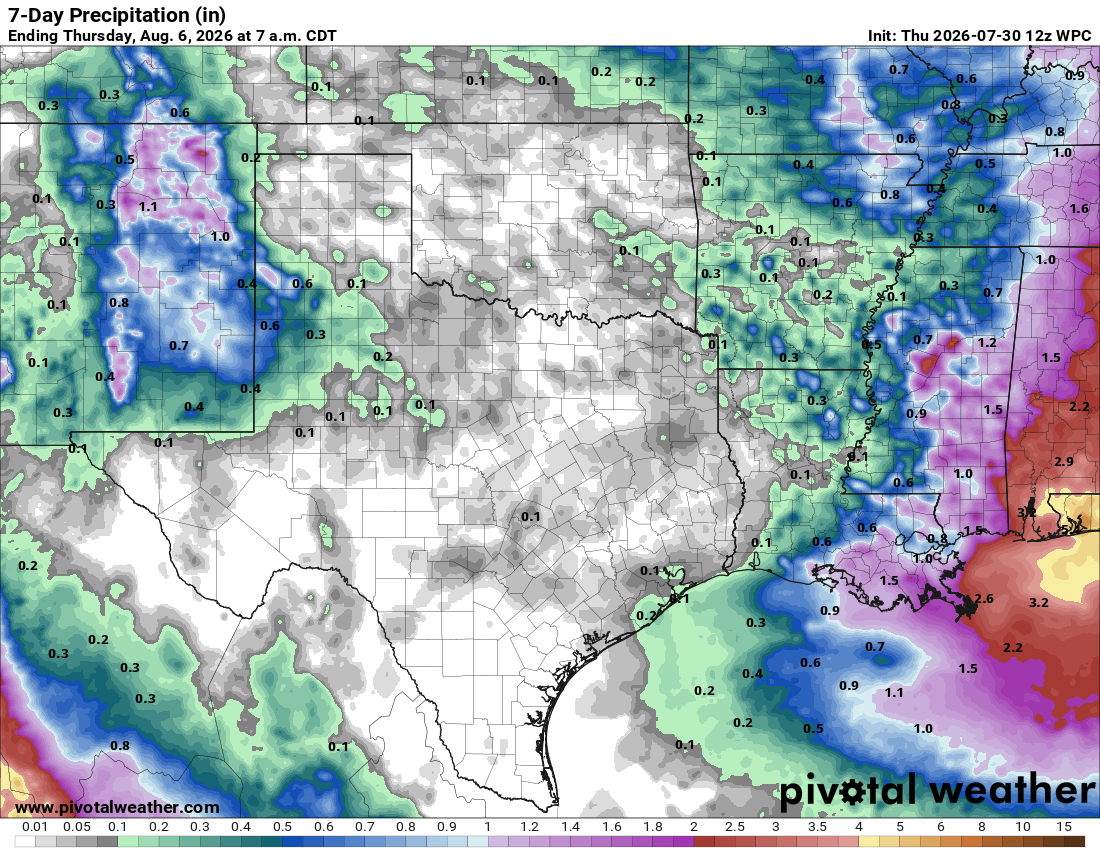
And we have drought on the verge of blowing up once again.
And very little rain in the forecast.
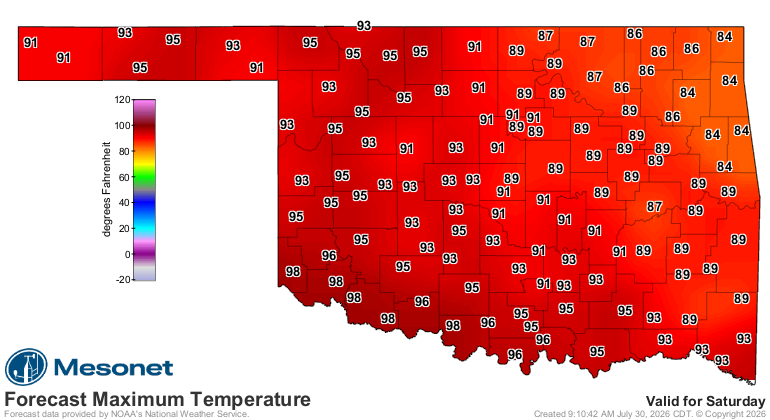
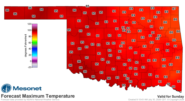
But hey, enjoy today though!
The weekend will be glorious at least.
That's all.
Gary McManus
State Climatologist
Oklahoma Mesonet
Oklahoma Climate Survey
gmcmanus@ou.edu
August 2 in Mesonet History
| Record | Value | Station | Year |
|---|---|---|---|
| Maximum Temperature | 114°F | KIN2 | 2012 |
| Minimum Temperature | 51°F | BURB | 2009 |
| Maximum Rainfall | 6.63 inches | HOLL | 1995 |
Mesonet records begin in 1994.
Contact the Ticker
Follow the Ticker via the Mesonet social media accounts on Bluesky, X, or Facebook, or subscribe to our RSS feed.
To subscribe to or unsubscribe from the Ticker mailing list, or for questions about the Ticker or its content, please contact the Ticker Manager at OCS:
(405) 325-2253